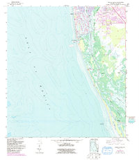
1958 Map of Naples South
USGS Topo · Published 1991About this map
Naples serves as the focal point of this coastal landscape, showing a period of significant waterfront expansion and residential development. The intricate canal systems and marinas south of the city center reflect a mid-century shift toward luxury maritime living, anchored by Naples Bay and the critical maritime gateway at Gordon Pass. While the northern portion of the sheet displays intensive land alteration for housing and a Golf Course, the southern reaches remain dominated by the complex mangrove and salt marsh environments of the Halloway Nature Conservancy and Rookery Bay.
Find a feature on this map
23 named features on this map. Tap any name to fly to it.
Don’t see what you’re looking for? This feature index may not catch every label — zoom into the map to look around manually.
Map Details
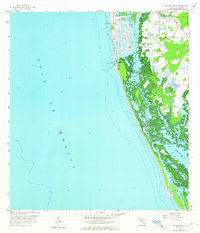
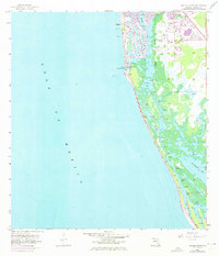
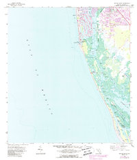
Editions of this 1958 Naples South Map
5 editions found
Other maps of this area

1956 · Miami
USGS Topo · 1:250,000

1956 · West Palm Beach
USGS Topo · 1:250,000

1957 · West Palm Beach
USGS Topo · 1:250,000

1958 · West Palm Beach
USGS Topo · 1:250,000

1958 · Miami
USGS Topo · 1:250,000

1958 · Belle Meade
USGS Topo · 1:24,000

1958 · Naples South
USGS Topo · 1:24,000

1958 · Belle Meade NW
USGS Topo · 1:24,000

1958 · Naples North
USGS Topo · 1:24,000

1973 · Marco Island
USGS Topo · 1:24,000