Old Maps of Cambon, Jacksonville for Academic Research
Study the evolution of Cambon with 16 high-resolution historic maps. Whether you're teaching, researching, or modeling changes in land use, these maps provide essential visual documentation of urban, environmental, and geographic change.
- Analyze long-term change: Track patterns in development, transportation, and natural features.
- Ideal for environmental or urban studies: Support academic projects with primary historical map data.
- Use in the classroom or lab: Educators and researchers rely on these maps to bring historical context to life.
These maps are a powerful tool for teaching, research, and visualizing how Cambon has changed over the decades.
Cambon, Jacksonville maps
(16)- 1917 Map of Cambon, 1960 Print
 1917 Cambon1960 Print · USGSWest of Jacksonville during the First World War, this landscape is defined by its critical railroad junctions and pine-flat timberlands. Genealogists can trace family names at Higginbotham School or explore rural stations like Dahoma, Inglehome, and Otis.2 unique versions available
 - 1918 Map of Cambon
 1918 Cambon1918 Print · USGSDuval County is captured here at a peak moment of railway expansion and timber harvesting during the Great War era. Genealogy researchers can locate early homesteads near Baldwin, find family-named sites like Higginbotham School, and trace the path of the Heber Tramroad.3 unique versions available
 - 1948 Map of Jacksonville
 1948 Jacksonville1948 Print · USGSNortheast Florida and Southeast Georgia's coastal waterways and railroad towns are captured here in the years following the war. Genealogists can trace family connections through river towns like St Marys or identify long-standing military landmarks like Jacksonville NAS.
 - 1957 Map of Jacksonville, 1967 Print
 1957 Jacksonville1967 Print · USGSCoastal Florida and Georgia meet in the late fifties, showcasing a landscape of naval aviation, deep-water terminals, and barrier island communities. Researchers can trace the mid-century footprints of NAS Jacksonville, find small communities like Franklintown, and locate the historic Fort Clinch State Park.3 unique versions available
 - 1959 Map of Jacksonville
 1959 Jacksonville1959 Print · USGSNortheast Florida and Southeast Georgia are seen here in the late fifties, dominated by the maritime activity of the St Johns River and the Atlantic coast. Researchers can trace the mid-century layout of Jacksonville and identify sprawling military sites like Camp Blanding Military Reservation and Kings Bay Ammunition Terminal.
 - 1960 Map of Jacksonville
 1960 Jacksonville1960 Print · USGSCoastal Florida and Georgia meet in this mid-century portrait of a region shaped by naval power and the winding St Johns River. Researchers can trace the development of military sites like Cecil Field or locate historic rural landmarks such as Jerusalem Ch and Kings Ferry.
 - 1964 Map of Marietta, 1965 Print
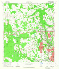 1964 Marietta1965 Print · USGSSuburban expansion meets military aviation in 1960s Duval County as new neighborhoods push toward the rural west. Trace the growth of Marietta and Whitehouse alongside historic landmarks like Pinkston Cem and the Atlantic Coast Line railroad.6 unique versions available
 - 1977 Map of Jacksonville, 1983 Print
 1977 Jacksonville1983 Print · USGSNortheast Florida during the late seventies shows a region defined by its deep-water naval bases and burgeoning riverfront suburbs. You can trace the rail networks of the Seaboard Coast Line, locate the Kingsley Plantation, and study the sprawling grounds of Cecil Field Naval Air Station.
 - 1980 Map of Jacksonville, 1984 Print
 1980 Jacksonville1984 Print · USGSThe Jacksonville metropolitan area and the Atlantic coast are captured here during a period of significant late-century growth. Researchers can trace the massive military footprints of Cecil Field and Mayport Naval Station alongside historic communities like Mandarin and Switzerland.
 - 1988 Map of Jacksonville
 1988 Jacksonville1988 Print · USGSCoastal Florida and Georgia are captured here during the late eighties, documenting the rapid growth of the First Coast and its vital military installations. Researchers can trace the development of beach communities like Fernandina Beach and Atlantic Beach or locate family landmarks near Mickler Landing and Orange Park.
 - 1994 Map of Marietta, 2003 Print
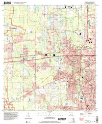 1994 Marietta2003 Print · USGSWestern Duval County is shown during a period of transition in the 1990s as suburban neighborhoods expanded around critical military and aviation hubs. Researchers can trace family history at Pinkston Cem or locate the sprawling grounds of the U.S. Naval Reservation Olf Whitehouse.
 - 2012 Map of Marietta, 2012 Print
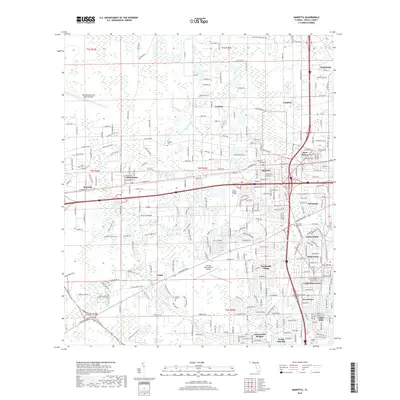
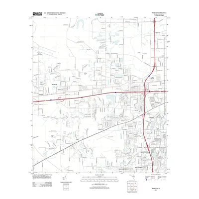 2012 Marietta2012 Print · USGSCovers Cambon, including Jacksonville, Hart Haven, and other nearby areas
 - 2015 Map of Marietta, 2015 Print
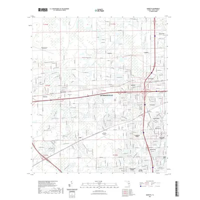
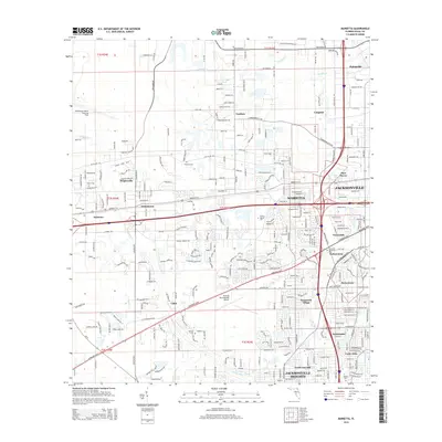 2015 Marietta2015 Print · USGSCovers Cambon, including Jacksonville, Hart Haven, and other nearby areas
 - 2018 Map of Marietta, 2018 Print
 2018 Marietta2018 Print · USGSCovers Cambon, including Jacksonville, Hart Haven, and other nearby areas
 - 2021 Map of Marietta, 2021 Print
 2021 Marietta2021 Print · USGSCovers Cambon, including Jacksonville, Hart Haven, and other nearby areas
 - 2024 Map of Marietta, 2024 Print
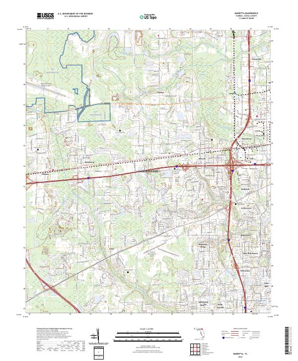 2024 Marietta2024 Print · USGSThe Westside of Jacksonville is captured in this modern survey, showing the mix of aviation sites and residential growth. Genealogists can locate family sites at Pinkston Cem and Parrish Cem, or trace the path of the Jacksonville Baldwin Rail Trl.
End of results
Showing maps 1-16 of 16
Top cities near Cambon
- Jacksonville historical maps
- Orange Park historical maps
- Baldwin historical maps
- Callahan historical maps
Frequently asked questions
- What are the different types of historical maps available for Cambon?
- What is the oldest map of Cambon?
- Where can I purchase historical maps of Cambon for my home or office?
- Where can I download high-res historical maps of Cambon?
- Are there historical topographic maps available for Cambon?
- Is there historical aerial imagery available for Cambon?
- Where are historical maps of Cambon sourced from?