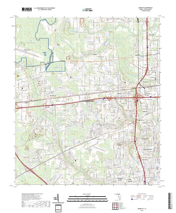
2024 Map of Marietta
USGS Topo · Published 2024About this map
McGirts Creek and Sixmile Creek wind through this Westside Jacksonville landscape, framing a transition from military and aviation installations to established residential neighborhoods. The Whitehouse Naval Outlying Field, also identified as OLF Whitehouse, dominates the northwestern corner, while the Herlong Recreational Airport serves the central region. This map illustrates the dense network of communities that define the area, including Whitehouse, Marietta, and Normandy Village, alongside older named locales like Caleb and Cambon. The transportation infrastructure is well-defined by Normandy Blvd and the Jacksonville Baldwin Rail Trl, which repurposes a former railroad corridor. Genealogists and local historians will find significant value in the numerous burial grounds documented, such as Pinkston Cem, Brunson Cem, and the expansive Riverside Memorial Park.
Find a feature on this map
42 named features on this map. Tap any name to fly to it.
Don’t see what you’re looking for? This feature index may not catch every label — zoom into the map to look around manually.
Map Details
Editions of this 2024 Marietta Map
This is the sole edition of this map. No revisions or reprints were ever made.
Other maps of this area

1917 · Orange Park
USGS Topo · 1:62,500

1917 · Cambon
USGS Topo · 1:62,500

1918 · Middleburg
USGS Topo · 1:62,500

1918 · Cambon
USGS Topo · 1:62,500

1918 · Jacksonville
USGS Topo · 1:62,500

1918 · Orange Park
USGS Topo · 1:62,500

1941 · Middleburg
USGS Topo · 1:62,500

1948 · Jacksonville
USGS Topo · 1:250,000

1949 · Fiftone
USGS Topo · 1:24,000

1949 · Jacksonville Heights
USGS Topo · 1:24,000
Featured Places
- Jacksonville, FL
- Cambon, Jacksonville
- Hart Haven, Jacksonville
- Hyde Grove, Jacksonville
- Jacksonville Heights, Jacksonville