2020s Maps of Palm Coast, Florida
Explore 13 historic maps of Palm Coast from the 2020s. These maps offer a rare glimpse into what life looked like during the 2020s — showing old roads, neighborhoods, homes, and landmarks that have changed or disappeared over time.
Whether you're researching your family's past, planning a metal detecting trip, or studying how Palm Coast's landscape evolved across the 2020s, these high-resolution maps are a powerful tool for exploring the history of this region.
- Focus on a specific era: All maps on this page are from the 2020s, giving you a focused view of this time period.
- See what’s changed: Compare century-old streets, trails, and buildings to today's modern landscape using overlays and satellite layers.
- Research with precision: Use these maps for genealogy, historical research, land use analysis, or educational projects.
- View, download, or print: Maps are fully viewable online in high resolution, and can be downloaded or printed for your own records.
Start exploring Palm Coast's history through authentic maps from the 2020s. This is your window into the past.
Palm Coast, FL maps
(13)- 2021 Map of Matanzas Inlet, 2021 Print
 2021 Matanzas Inlet2021 Print · USGSCovers Palm Coast, including Marineland, Summer Haven, and other nearby areas
 - 2021 Map of Espanola, 2021 Print
 2021 Espanola2021 Print · USGSCovers Palm Coast, including Bunnell, Neoga, and other nearby areas
 - 2021 Map of Bunnell, 2021 Print
 2021 Bunnell2021 Print · USGSCovers Palm Coast, including Bunnell, Black Point, and other nearby areas
 - 2021 Map of Dinner Island NE, 2021 Print
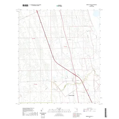 2021 Dinner Island NE2021 Print · USGSCovers Palm Coast, including Cedar Landing, Saint Johns County, and other nearby areas
 - 2021 Map of Flagler Beach West, 2021 Print
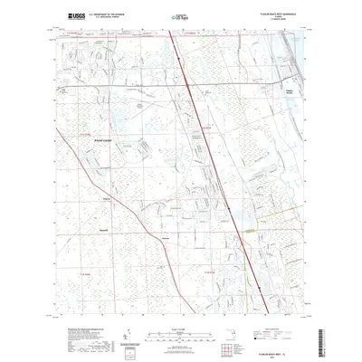 2021 Flagler Beach West2021 Print · USGSCovers Palm Coast, including Flagler Beach, Bunnell, and other nearby areas
 - 2021 Map of Beverly Beach, 2021 Print
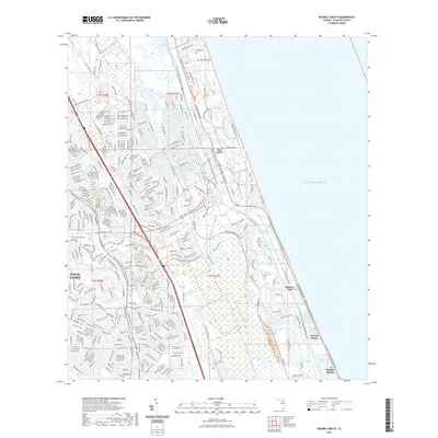 2021 Beverly Beach2021 Print · USGSCovers Palm Coast, including Flagler Beach, Beverly Beach, and other nearby areas
 - 2023 Map of Flagler Beach West, 2023 Print
 2023 Flagler Beach West2023 Print · USGSCovers Palm Coast, including Flagler Beach, Bunnell, and other nearby areas
 - 2024 Map of Matanzas Inlet, 2024 Print
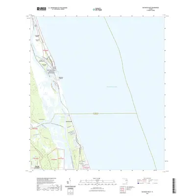
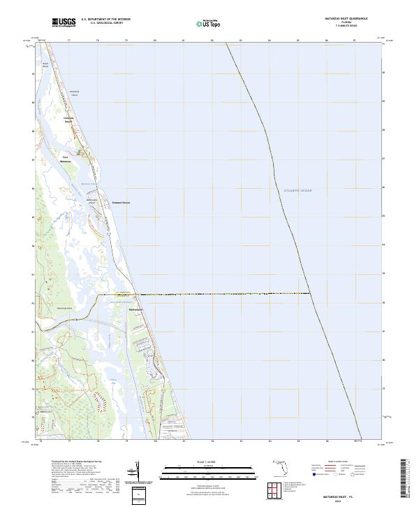 2024 Matanzas Inlet2024 Print · USGSThe Florida coast near the St. Johns and Flagler county line remains a landscape defined by historic seafaring routes and barrier island geography. Genealogists and historians can trace the development of coastal settlements like Summer Haven and Marineland, or locate the historic site of Fort Matanzas.
 - 2024 Map of Dinner Island NE, 2024 Print
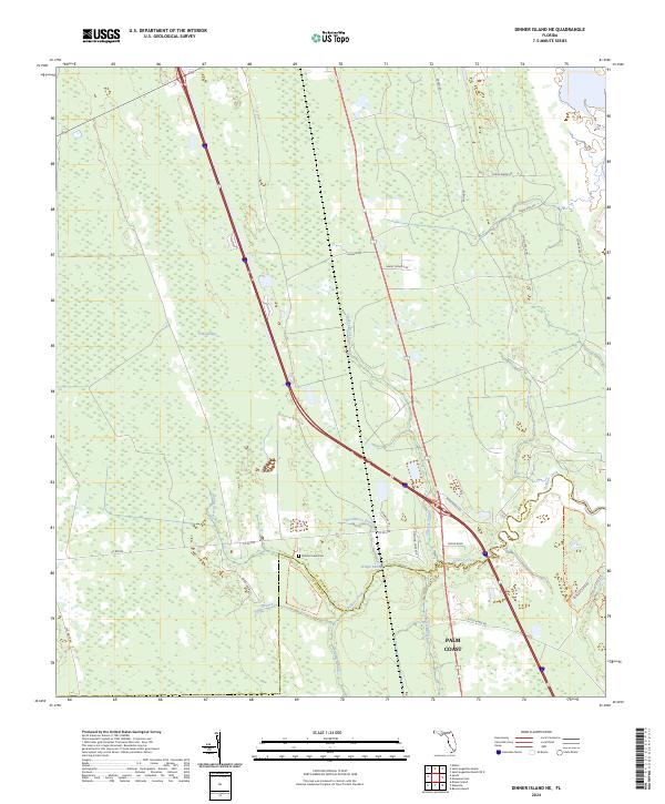 2024 Dinner Island NE2024 Print · USGSPalm Coast and its northern marshlands are documented here in recent years as development meets the conservation lands of the St. Johns-Flagler border. Researchers can find family sites at Pellicer Creek Cem and trace old routes like Old Brick Rd and Faver Dykes Rd.
 - 2024 Map of Beverly Beach, 2024 Print
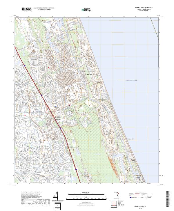 2024 Beverly Beach2024 Print · USGSPalm Coast and the Flagler County shoreline are shown in their modern configuration during the 2020s. Researchers can trace the development of residential neighborhoods near Graham Swamp and coastal settlements like Beverly Beach and Painters Hill.
 - 2024 Map of Flagler Beach West, 2024 Print
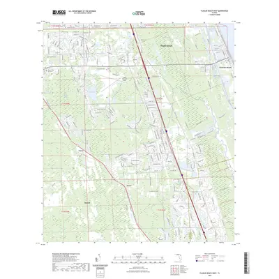
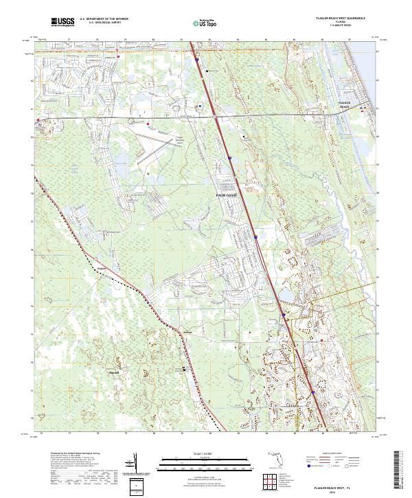 2024 Flagler Beach West2024 Print · USGSCoastal Flagler County in the early twenty-first century reveals a dynamic mix of suburban expansion and preserved wetlands. Genealogists and local historians can locate family burial sites at Saint Marys Cem and Good Hope Cem or trace the early paths near Korona and Dupont.
 - 2024 Map of Bunnell, 2024 Print
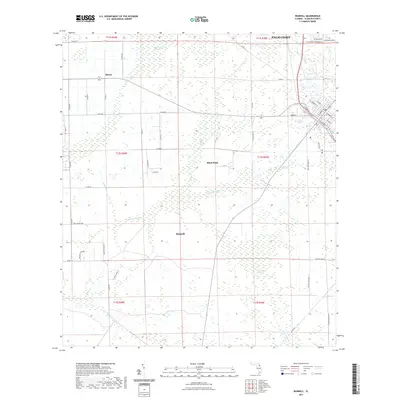
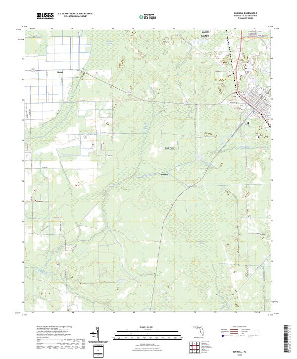 2024 Bunnell2024 Print · USGSThe Flagler County interior comes into focus during this modern era of development and drainage. Researchers can trace rural roots near Bimini and Bunnell, or locate landmarks like Black Point and the Lehigh Greenway Trl.
 - 2024 Map of Espanola, 2024 Print
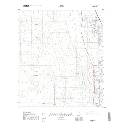
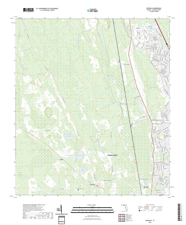 2024 Espanola2024 Print · USGSThe Flagler County interior transitions from rural rail towns to suburban growth in this recent survey. Trace genealogy at Espanola Cem or explore the corridor between Neoga and Bunnell along the historic FEC RR.
End of results
Showing maps 1-13 of 13
Top cities near Palm Coast
- Ormond Beach historical maps
- Flagler Beach historical maps
- Bunnell historical maps
- Beverly Beach historical maps
- Marineland historical maps
Top neighborhoods of Palm Coast
Frequently asked questions
- What are the different types of historical maps available for Palm Coast?
- What is the oldest map of Palm Coast?
- Where can I purchase historical maps of Palm Coast for my home or office?
- Where can I download high-res historical maps of Palm Coast?
- Are there historical topographic maps available for Palm Coast?
- Is there historical aerial imagery available for Palm Coast?
- Where are historical maps of Palm Coast sourced from?