Old Maps of Brickyard, Florida for Genealogy
Trace your family roots with 15 historic maps of Brickyard. These high-res maps reveal old neighborhoods, homesites, landmarks, and streets — helping you uncover where your ancestors lived and how the area evolved over time.
- Explore historic neighborhoods: Identify where your relatives may have lived in the 1800s or 1900s.
- Compare maps over time: Trace the changes in streets, buildings, and landmarks for multi-generational research.
- Perfect for genealogy & ancestry research: Used by family historians and researchers to map out lineage and migration.
These maps are an incredible resource for exploring your personal connection to Brickyard's past.
Brickyard, FL maps
(15)- 1944 Map of Forbes Island, 1960 Print
 1944 Forbes Island1960 Print · USGSThe Florida Panhandle river system is frozen in time during the mid-1940s, highlighting the industrial timber operations of the Gulf and Liberty county borders. Researchers can trace the path of the Logging RR to remote sites like Lister Camp or locate riverfront hubs such as Brickyard Landing.2 unique versions available
 - 1945 Map of Forbes Island
 1945 Forbes Island1945 Print · USGSThe river-driven economy of Gulf County is captured here in the mid-1940s, highlighting a landscape of wetlands and timber camps. Genealogists and researchers can trace local landings like Smith Creek Landing and isolated outposts such as Lister Camp or Glenn Hammock.3 unique versions available
 - 1949 Map of Apalachicola
 1949 Apalachicola1949 Print · USGSThe Florida Panhandle's Forgotten Coast is captured mid-century, showcasing the intricate web of swamps, sounds, and barrier islands. Genealogists and historians can trace the Apalachicola Northern rail line and locate old landmarks like Fort Gadsden or the St Joe Fire Tower.
 - 1957 Map of Apalachicola, 1968 Print
 1957 Apalachicola1968 Print · USGSFlorida's Forgotten Coast comes alive in this mid-century portrait of timber, fishing, and military outposts. Researchers can trace the waterfronts of Apalachicola, the grounds of Fort Gadsden, and the early footprint of Mexico Beach before modern development.2 unique versions available
 - 1959 Map of Apalachicola
 1959 Apalachicola1959 Print · USGSThe Florida Panhandle's coastline is captured in the late fifties, showcasing the maritime and rail connections between Port St Joe and the oyster-rich waters of Apalachicola. Researchers can trace the legacy of Fort Gadsden or locate historic rail stops like Lanark Station and McIntyre along the coast.
 - 1960 Map of Apalachicola
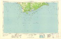 1960 Apalachicola1960 Print · USGSFlorida's Forgotten Coast was a realm of maritime industry and vast wetlands in the late fifties. Genealogists and historians can trace the rail lines of the Apalachicola Northern or locate sites like Port St Joe, the Cape St George Lighthouse, and Carrabelle.
 - 1967 Map of Apalachicola, 1975 Print
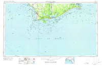 1967 Apalachicola1975 Print · USGSCoastal Florida in the mid-twentieth century reveals a landscape of maritime navigation and expansive wetlands. Trace the Apalachicola Northern rail line to waterfront hubs like Carrabelle and the historic Cape St George Lighthouse.
 - 1978 Map of Port Saint Joe, 1980 Print
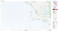 1978 Port Saint Joe1980 Print · USGSThe Florida Panhandle coastline in the late seventies reveals a landscape of massive wildlife refuges and critical maritime waterways. Genealogists and historians can trace the Apalachicola Northern rail line and locate coastal landmarks like Port St Joe and Beacon Hill.2 unique versions available
 - 1982 Map of Forbes Island, 1984 Print
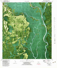 1982 Forbes Island1984 Print · USGSThe river-driven life of Gulf and Liberty counties is revealed in this early 1980s orthophotomap of the Apalachicola River basin. Researchers can trace landing sites and historic river camps such as Howard Creek, Lister Camp, and the Fort Gadsden State Historic Site.
 - 1988 Map of Apalachicola
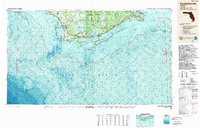 1988 Apalachicola1988 Print · USGSThe Florida Panhandle's Forgotten Coast comes to life in the late eighties, showing the delicate balance between wild marshlands and historic waterfront towns. Researchers can trace the shoreline from Cape San Blas to Bald Point, locating family-named landings like Hays Place and the historic grounds of Fort Gadsden.
 - 2012 Map of Forbes Island, 2012 Print
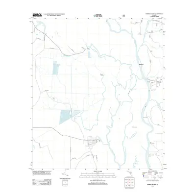 2012 Forbes Island2012 Print · USGSThe Apalachicola River basin in the early 2010s shows a complex web of waterways and isolated islands. You can trace the river's impact on local life through sites like the Brown and Smith Cem and various historic river access points such as Brickyard and Hickory Landing.
 - 2015 Map of Forbes Island, 2015 Print
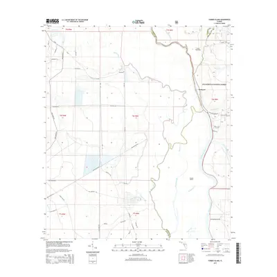 2015 Forbes Island2015 Print · USGSThe riverine borders of Franklin, Gulf, and Liberty counties come alive in this mid-2010s survey of the Apalachicola basin. Researchers can trace family roots at Brown and Smith Cem or explore the wetland geography of Forbes Island and Brickyard.
 - 2018 Map of Forbes Island, 2018 Print
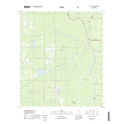 2018 Forbes Island2018 Print · USGSThe riverine landscapes of Franklin and Gulf counties come into focus in the late 2010s, where the winding Apalachicola River meets the dense timberland. Trace local history at the Brown and Smith Cem or explore the waterways surrounding Forbes Island and the Apalachicola National Forest.
 - 2021 Map of Forbes Island, 2021 Print
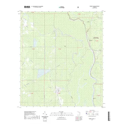 2021 Forbes Island2021 Print · USGSThe Florida Panhandle's riverine heart is captured here in the early twenty-first century, centered on the Apalachicola River and the Apalachicola National Forest. Genealogists and hikers can trace the Brown and Smith Cem or follow the Apalachicola River Blueway Trl near Brickyard.
 - 2024 Map of Forbes Island, 2024 Print
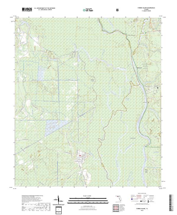 2024 Forbes Island2024 Print · USGSThe Florida panhandle river country comes alive here, where the Apalachicola and Brothers rivers meet along the Gulf and Liberty county lines. Genealogists and local historians can locate the Brown and Smith Cem and trace old routes like Kenny Tram Rd near Brickyard.
End of results
Showing maps 1-15 of 15
Top cities near Brickyard
Frequently asked questions
- What are the different types of historical maps available for Brickyard?
- What is the oldest map of Brickyard?
- Where can I purchase historical maps of Brickyard for my home or office?
- Where can I download high-res historical maps of Brickyard?
- Are there historical topographic maps available for Brickyard?
- Is there historical aerial imagery available for Brickyard?
- Where are historical maps of Brickyard sourced from?