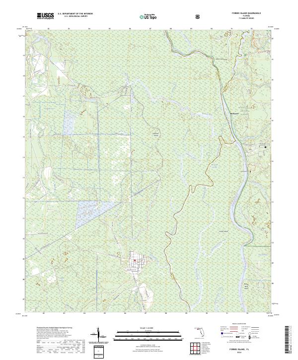
2024 Map of Forbes Island
USGS Topo · Published 2024About this map
The Apalachicola River carves through a complex network of wetlands and riverine forests along the borders of Gulf, Liberty, and Franklin counties. Within the Apalachicola National Forest, the landscape is defined by the shifting paths of the Brothers River and the Brickyard Cut-Off, creating isolated terrain features such as Forbes Island and Downes Island. Small river-oriented settlements like Brickyard and Glenn Hammock appear alongside significant family landmarks, including the Brown and Smith Cem and the Renegade Cem. The road network, including Old Bay City Rd and Kenny Tram Rd, reflects the area's history of timber harvesting and river access, while features like Bloody Bluff Island suggest the long human and natural history of these Florida lowlands.
Find a feature on this map
54 named features on this map. Tap any name to fly to it.
Don’t see what you’re looking for? This feature index may not catch every label — zoom into the map to look around manually.
Map Details
Editions of this 2024 Forbes Island Map
This is the sole edition of this map. No revisions or reprints were ever made.
Other maps of this area

1943 · Jackson River
USGS Topo · 1:24,000

1944 · White City
USGS Topo · 1:24,000

1944 · Forbes Island
USGS Topo · 1:24,000

1945 · Forbes Island
USGS Topo · 1:31,680

1945 · Lake Wimico
USGS Topo · 1:31,680

1945 · Kennedy Creek
USGS Topo · 1:31,680

1945 · White City
USGS Topo · 1:31,680

1945 · Beverly
USGS Topo · 1:31,680

1945 · Wewahitchka
USGS Topo · 1:31,680

1945 · Jackson River
USGS Topo · 1:31,680