2020s Maps of Midway, Florida
Explore 6 historic maps of Midway from the 2020s. These maps offer a rare glimpse into what life looked like during the 2020s — showing old roads, neighborhoods, homes, and landmarks that have changed or disappeared over time.
Whether you're researching your family's past, planning a metal detecting trip, or studying how Midway's landscape evolved across the 2020s, these high-resolution maps are a powerful tool for exploring the history of this region.
- Focus on a specific era: All maps on this page are from the 2020s, giving you a focused view of this time period.
- See what’s changed: Compare century-old streets, trails, and buildings to today's modern landscape using overlays and satellite layers.
- Research with precision: Use these maps for genealogy, historical research, land use analysis, or educational projects.
- View, download, or print: Maps are fully viewable online in high resolution, and can be downloaded or printed for your own records.
Start exploring Midway's history through authentic maps from the 2020s. This is your window into the past.
Midway, FL maps
(6)- 2021 Map of Havana South, 2021 Print
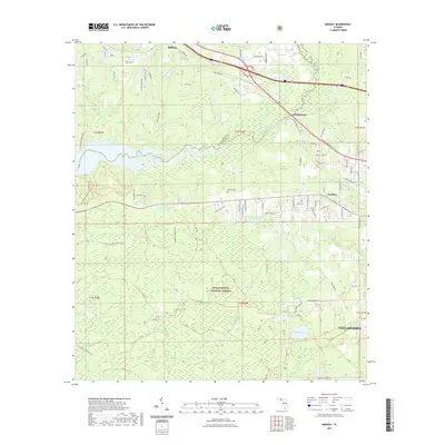
 2021 Havana South2021 Print · USGSCovers Midway, including Havana, Lake Yvette East, and other nearby areas
 - 2021 Map of Quincy, 2021 Print
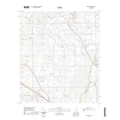
 2021 Quincy2021 Print · USGSCovers Midway, including Quincy, Triple Oaks, and other nearby areas
 - 2021 Map of Midway, 2021 Print
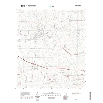
 2021 Midway2021 Print · USGSCovers Midway, including Tallahassee, McCaln, and other nearby areas
 - 2024 Map of Havana South, 2024 Print
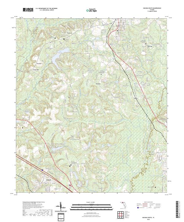 2024 Havana South2024 Print · USGSGadsden County at the edge of Leon County is documented here in the contemporary era, showing a landscape defined by small settlements and historic rural congregations. Genealogists can trace family burial grounds like Nicholson - Freeman Cem and Whatley Family Cem alongside landmarks such as Tallahassee Commercial Airport.
 - 2024 Map of Quincy, 2024 Print
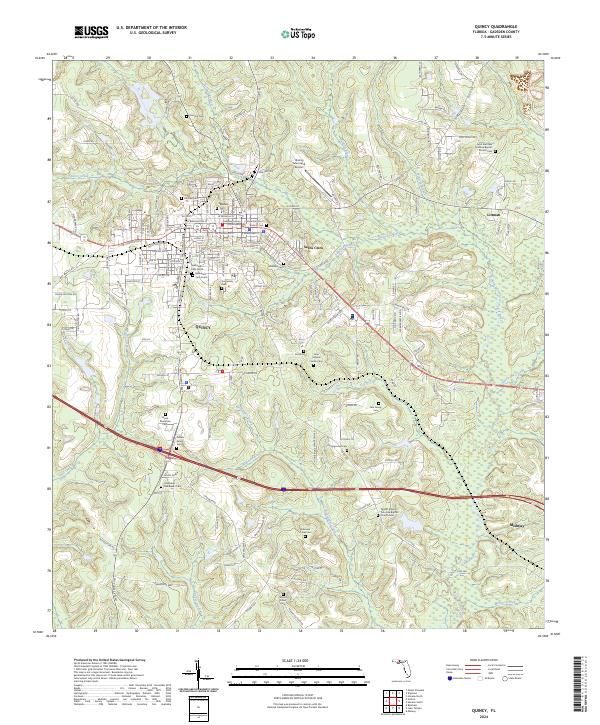 2024 Quincy2024 Print · USGSGadsden County at the present day remains a landscape of deep family history and creek-fed terrain. Genealogists and researchers can trace local heritage through numerous sites like the Wynn Plantation Cem, Gee Family Cem, and Hillcrest Cem.
 - 2024 Map of Midway, 2024 Print
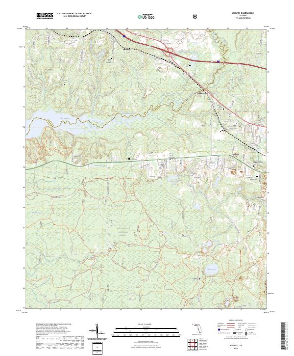 2024 Midway2024 Print · USGSMidway and the Ochlockonee River valley are captured here in the early twenty-first century as the area balances forest conservation and rural growth. Genealogists can locate family-named sites such as Johnson-Moore Cem, Geddie Cem, and the Adam Hunter Gravesite.
End of results
Showing maps 1-6 of 6
Top cities near Midway
Top neighborhoods of Midway
Frequently asked questions
- What are the different types of historical maps available for Midway?
- What is the oldest map of Midway?
- Where can I purchase historical maps of Midway for my home or office?
- Where can I download high-res historical maps of Midway?
- Are there historical topographic maps available for Midway?
- Is there historical aerial imagery available for Midway?
- Where are historical maps of Midway sourced from?