Old Maps of Midway, Florida for Hiking & Exploration
Hike through history with 31 historic maps of Midway. Explore old trails, ghost towns, and forgotten backroads — perfect for outdoor adventurers and local explorers.
- Rediscover forgotten places: Map out old mining camps, roads, and footpaths that no longer exist on modern maps.
- Layer with modern tools: Combine with LiDAR or satellite views to plan hikes through historical terrain.
- Made for exploration: Popular among hikers, overlanders, and local history lovers.
Use these maps to find adventure and explore the hidden past of Midway.
Midway, FL maps
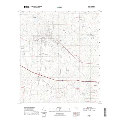
(31)- 1940 Map of Tallahassee, 1958 Print
 1940 Tallahassee1958 Print · USGSFlorida's capital city and the surrounding Leon County pine forests are captured here just before the mid-century expansion. Genealogists and local historians can trace rural communities like Hilliardville and Woodville alongside landmarks like Richardson Sch and Lake Talquin.2 unique versions available
 - 1942 Map of Tallahassee
 1942 Tallahassee1942 Print · USGSTallahassee and the surrounding Leon County area appear here in the early 1940s, balancing its role as a college town with the wilderness of the Apalachicola National Forest. Researchers can trace the rural church and school networks of Woodville and Spring Hill, or locate early campus footprints for Florida State College for Women.
 - 1943 Map of Tallahassee
 1943 Tallahassee1943 Print · USGSMid-century Tallahassee and the eastern edge of the Apalachicola National Forest appear here in the years just before post-war suburban growth. Genealogists can trace rural communities through landmarks like Florida Agricultural and Mechanical College, Hilliardville, and the Gum Pond Sch.2 unique versions available
 - 1954 Map of Tallahassee, 1967 Print
 1954 Tallahassee1967 Print · USGSThe Florida Panhandle and South Georgia are captured here during a period of mid-century growth and military expansion. Researchers can trace the development of Panama City, the footprint of Tyndall Air Force Base, and the rail lines of the Atlantic Coast Line.4 unique versions available
 - 1959 Map of Tallahassee
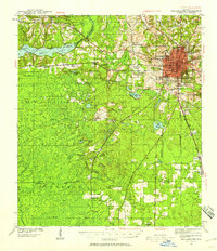
 1959 Tallahassee1959 Print · USGSFlorida's Panhandle and the Big Bend region appear here in the mid-fifties, showing a landscape defined by its great river systems and developing coast. Trace the early layout of Panama City, the expansive Apalachicola National Forest, and the coastal St Marks Lighthouse.
 - 1959 Map of Quincy, 1960 Print
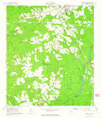
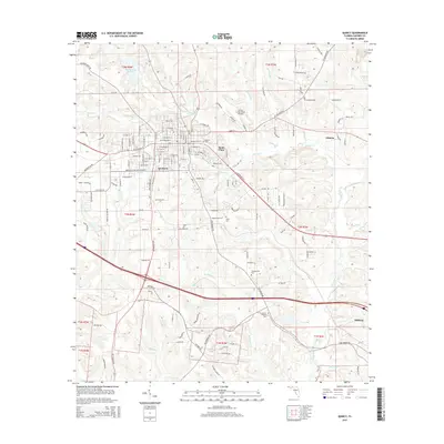
 1959 Quincy1960 Print · USGSGadsden County in the late fifties shows a landscape of established rural communities centered on the town of Quincy. Genealogists and historians can trace numerous family-named landmarks including Smith Cem, Bethlehem Ch, and the historic Forbes Purchase Line.2 unique versions available
 - 1960 Map of Tallahassee
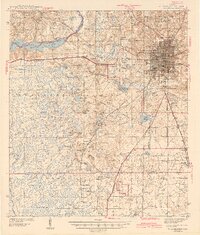
 1960 Tallahassee1960 Print · USGSThe Florida Panhandle and southern Georgia are captured here in the mid-twentieth century, showing a region defined by its rivers and military installations. Genealogists and historians can trace the growth of Tallahassee or locate coastal landmarks like the St Marks Lighthouse and Tyndall Air Force Base.
 - 1963 Map of Havana South, 1964 Print
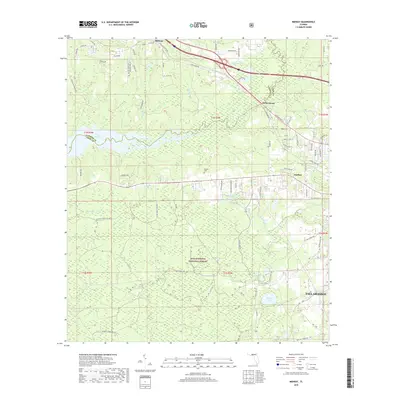
 1963 Havana South1964 Print · USGSGadsden County at the start of the 1960s shows a landscape defined by the Seaboard Air Line and the winding Ochlockonee River. Genealogists and local historians can trace rural communities through landmarks like China Hill Ch, Pine Park Sch, and the Nicholson-Freeman Cem.
 - 1969 Map of Midway, 1972 Print
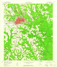
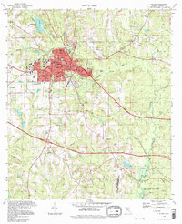
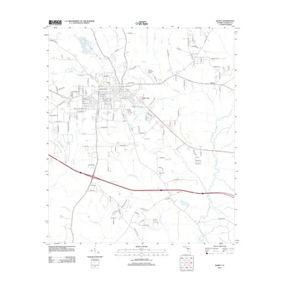
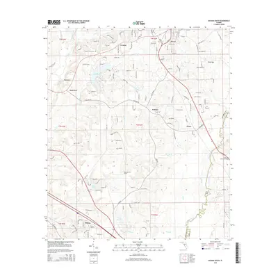
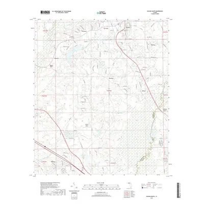
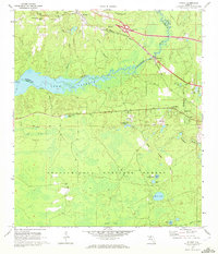 1969 Midway1972 Print · USGSThe Ochlockonee River valley and Lake Talquin come into focus during the late sixties, showing the quiet transition between the Apalachicola National Forest and rural settlements. Genealogists can locate family landmarks like Mt Moriah Ch, Norfleet, and several cemeteries scattered across the Gadsden county line.2 unique versions available
 - 1978 Map of Bainbridge, 1980 Print
 1978 Bainbridge1980 Print · USGSIn the late seventies, this Georgia-Florida borderland was defined by the confluence of the Flint and Chattahoochee rivers. Trace the region's infrastructure via the Seaboard Coast Line Railroad and find sites like Bainbridge State Hospital.
 - 1979 Map of Tallahassee, 1980 Print
 1979 Tallahassee1980 Print · USGSFlorida's capital and the Gulf coast are captured here in the late seventies, showing the region's balance between urban growth and massive protected wetlands. Researchers can trace the routes of the Apalachicola Northern Railroad or locate small inland hubs like Sopchoppy, Panacea, and Hosford.
 - 1982 Map of Quincy, 1983 Print
 1982 Quincy1983 Print · USGSQuincy and its rural Gadsden County surroundings are captured in the early eighties as a mix of industrial activity and preserved southern wildlands. Researchers can trace historic property boundaries like the Forbes Purchase Line or locate ancestral sites at Western Cem and New Bethel Ch.
 - 1982 Map of Havana South, 1983 Print
 1982 Havana South1983 Print · USGSGadsden County in the early eighties shows a transition from rural timber and mining lands toward expanding residential and aviation hubs. Genealogists and local historians can locate several family-named sites like Ferrell Cem and Hopewell Cem, or trace the rail-side settlements of Scotland and Gibson.
 - 1988 Map of Tallahassee
 1988 Tallahassee1988 Print · USGSThe Florida Panhandle and South Georgia are captured here in the late eighties, showing the expansion of the regional highway network and coastal growth. Genealogists and historians can trace rail lines like the Seaboard System Railroad or locate family roots in Blountstown, Graceville, or Crawfordville.2 unique versions available
 - 1994 Map of Havana South, 1998 Print
 1994 Havana South1998 Print · USGSGadsden County in the 1990s was a landscape where tobacco-growing history met the wild wetlands of the Ochlockonee. Local historians can trace old homesteads near Scotland and Gibson, or locate family sites like Nicholson-Freeman Cem and St James Ch.
 - 1994 Map of Quincy, 1998 Print
 1994 Quincy1998 Print · USGSQuincy and its surrounding Gadsden County countryside are captured here in the late nineties, documenting the town's growth alongside its conservation lands. Genealogists and local historians can locate numerous burial sites and schools, from Hillcrest Cem to Stewart Street Sch, and trace the historic Forbes Purchase Line.
 - 2012 Map of Havana South, 2012 Print
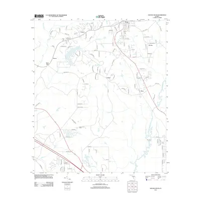 2012 Havana South2012 Print · USGSCovers Midway, including Havana, Lake Yvette East, and other nearby areas
 - 2012 Map of Quincy, 2012 Print
 2012 Quincy2012 Print · USGSCovers Midway, including Quincy, Triple Oaks, and other nearby areas
 - 2012 Map of Midway, 2012 Print
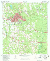
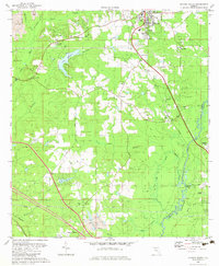
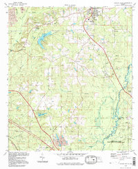
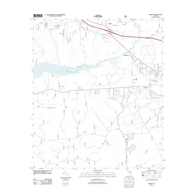 2012 Midway2012 Print · USGSCovers Midway, including Tallahassee, McCaln, and other nearby areas
 - 2015 Map of Midway, 2015 Print
 2015 Midway2015 Print · USGSCovers Midway, including Tallahassee, McCaln, and other nearby areas
 - 2015 Map of Havana South, 2015 Print
 2015 Havana South2015 Print · USGSCovers Midway, including Havana, Lake Yvette East, and other nearby areas
 - 2015 Map of Quincy, 2015 Print
 2015 Quincy2015 Print · USGSCovers Midway, including Quincy, Triple Oaks, and other nearby areas
 - 2018 Map of Havana South, 2018 Print
 2018 Havana South2018 Print · USGSCovers Midway, including Havana, Lake Yvette East, and other nearby areas
 - 2018 Map of Midway, 2018 Print
 2018 Midway2018 Print · USGSCovers Midway, including Tallahassee, McCaln, and other nearby areas
 - 2018 Map of Quincy, 2018 Print
 2018 Quincy2018 Print · USGSCovers Midway, including Quincy, Triple Oaks, and other nearby areas
Showing maps 1-25 of 31
Top cities near Midway
Top neighborhoods of Midway
Frequently asked questions
- What are the different types of historical maps available for Midway?
- What is the oldest map of Midway?
- Where can I purchase historical maps of Midway for my home or office?
- Where can I download high-res historical maps of Midway?
- Are there historical topographic maps available for Midway?
- Is there historical aerial imagery available for Midway?
- Where are historical maps of Midway sourced from?