2020s Maps of Jennings, Florida
Explore 4 historic maps of Jennings from the 2020s. These maps offer a rare glimpse into what life looked like during the 2020s — showing old roads, neighborhoods, homes, and landmarks that have changed or disappeared over time.
Whether you're researching your family's past, planning a metal detecting trip, or studying how Jennings's landscape evolved across the 2020s, these high-resolution maps are a powerful tool for exploring the history of this region.
- Focus on a specific era: All maps on this page are from the 2020s, giving you a focused view of this time period.
- See what’s changed: Compare century-old streets, trails, and buildings to today's modern landscape using overlays and satellite layers.
- Research with precision: Use these maps for genealogy, historical research, land use analysis, or educational projects.
- View, download, or print: Maps are fully viewable online in high resolution, and can be downloaded or printed for your own records.
Start exploring Jennings's history through authentic maps from the 2020s. This is your window into the past.
Jennings, FL maps
(4)- 2021 Map of Jennings, 2021 Print
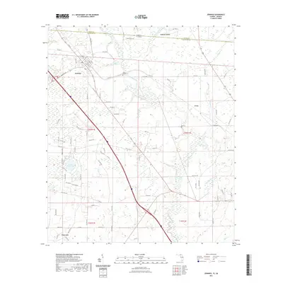 2021 Jennings2021 Print · USGSCovers Jennings, including Avoca, West Lake, and other nearby areas
 - 2021 Map of Octahatchee, 2021 Print
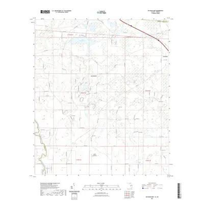 2021 Octahatchee2021 Print · USGSCovers Jennings, including Octahatchee, Lowndes County, and other nearby areas
 - 2024 Map of Jennings, 2024 Print
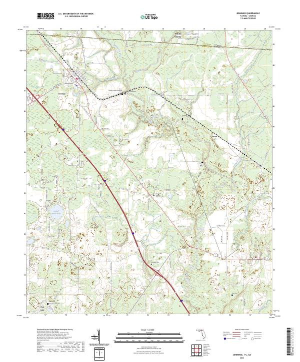 2024 Jennings2024 Print · USGSThe Florida-Georgia borderlands near Jennings come alive in this modern survey of Hamilton and Echols counties. Genealogists can locate numerous small burial sites like Sasser Landing African American Cem, Dempsey Cem, and Byrd Cem along the Alapaha River.
 - 2024 Map of Octahatchee, 2024 Print
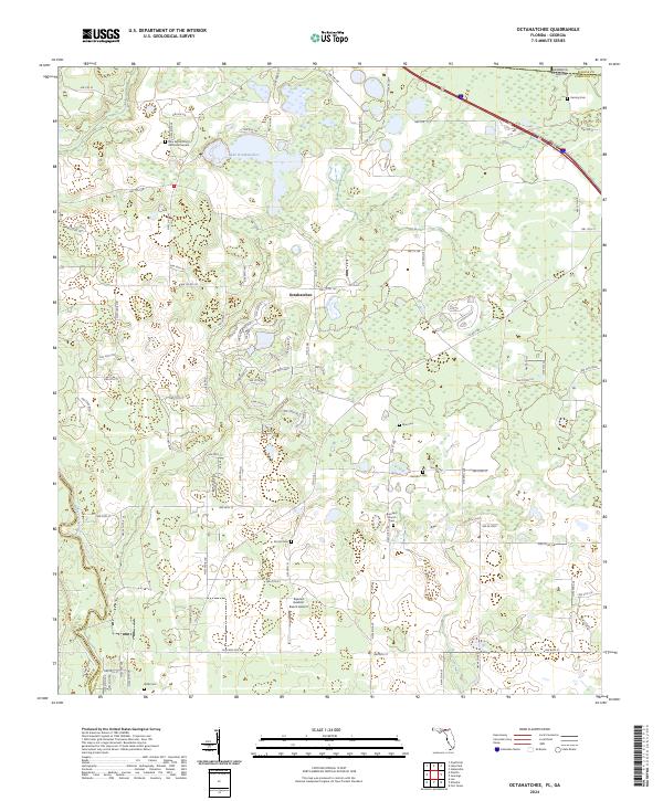 2024 Octahatchee2024 Print · USGSHamilton County near the Georgia border comes into focus in this recent survey of the North Florida woodlands. Researchers can locate numerous family burial sites like Wells Cem and McCall Cem or trace the banks of the Withlacoochee River.
End of results
Showing maps 1-4 of 4
Top cities near Jennings
- Valdosta historical maps
- Jasper historical maps
- Dasher historical maps
- Lake Park historical maps
- Lee historical maps
- Ellaville historical maps
Frequently asked questions
- What are the different types of historical maps available for Jennings?
- What is the oldest map of Jennings?
- Where can I purchase historical maps of Jennings for my home or office?
- Where can I download high-res historical maps of Jennings?
- Are there historical topographic maps available for Jennings?
- Is there historical aerial imagery available for Jennings?
- Where are historical maps of Jennings sourced from?