Old Maps of Jennings, Florida for Metal Detecting
Plan your next treasure hunt with 18 historic maps of Jennings. Find old homesites, ghost towns, trails, and gathering spots that may be lost to time — perfect for identifying promising metal detecting locations.
- Locate forgotten sites: Uncover places like long-lost settlements, abandoned rail lines, or gathering spots.
- Plan better hunts: Use map overlays combined with LiDAR or satellite views to narrow in on historically rich areas.
- Made for detectorists: Thousands of hobbyists use these maps to discover relics, coins, and hidden history.
Use these historic maps to boost your research and find new opportunities beneath the surface of Jennings.
Jennings, FL maps
(18)- 1954 Map of Valdosta, 1967 Print
 1954 Valdosta1967 Print · USGSThe South Georgia and North Florida borderlands are captured here in the mid-fifties, showing the deep timber and wetland networks of the coastal plain. Researchers can trace the path of the Atlantic Coast Line through Valdosta or explore the interior of the Okefenokee Swamp.2 unique versions available
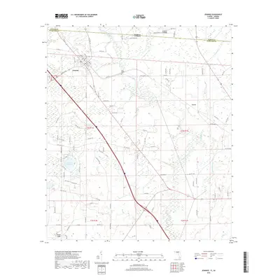
 - 1956 Map of Jennings, 1957 Print
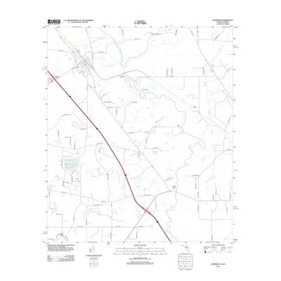
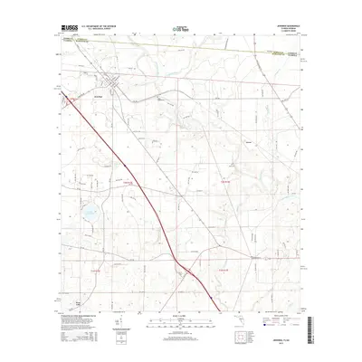
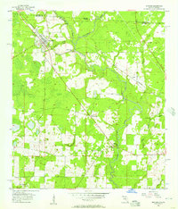 1956 Jennings1957 Print · USGSNorth Florida and South Georgia met along the Alapaha River in the mid-fifties, where timber and rail lines shaped the local economy. Researchers can locate family landmarks like Sasser Landing Cem, Oak Grove Ch, and the Alapaha Lookout Tower in this rural landscape.3 unique versions available
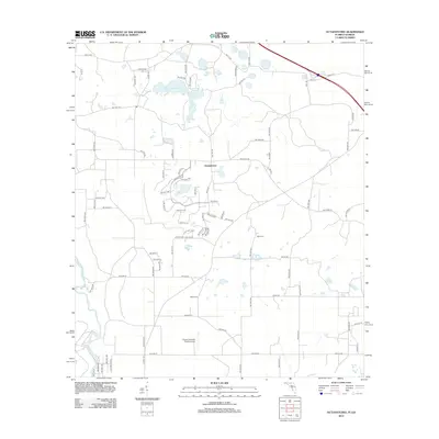
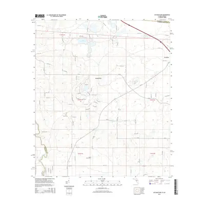
 - 1956 Map of Octahatchee, 1958 Print
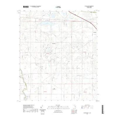
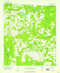 1956 Octahatchee1958 Print · USGSThe Florida-Georgia borderlands near the mid-century were a landscape of cypress swamps and quiet rural outposts. Genealogists can locate family landmarks like McCall Cem and Blair Cem or trace the community around Bellville High Sch and Triumph Ch.2 unique versions available
 - 1958 Map of Valdosta
 1958 Valdosta1958 Print · USGSSouth Georgia and North Florida are captured here in the mid-fifties, showing the vast Okefenokee Swamp and the vital timber and rail corridors connecting the two states. Researchers can locate the footprint of Moody Air Force Base, trace the Live Oak Perry and Gulf railroad, or find early community sites like Bakers Mill and Paradise Church.
 - 1959 Map of Valdosta
 1959 Valdosta1959 Print · USGSThe Georgia-Florida borderlands in the mid-fifties reveal a landscape of massive blackwater swamps and emerging military aviation hubs. Genealogists and historians can trace rail-stop towns like Fargo and Stockton or explore the interior reaches of the Okefenokee Swamp and Billys Island.
 - 1981 Map of Valdosta
 1981 Valdosta1981 Print · USGSCrossing the Georgia and Florida border in the early eighties, this survey captures the agricultural and military landscape of the coastal plain. Genealogists and historians can trace the rail-linked growth of Valdosta and Quitman or find rural landmarks like New Hope Church and Lake Miccosukee.
 - 2011 Map of Octahatchee, 2011 Print
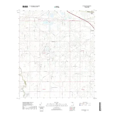
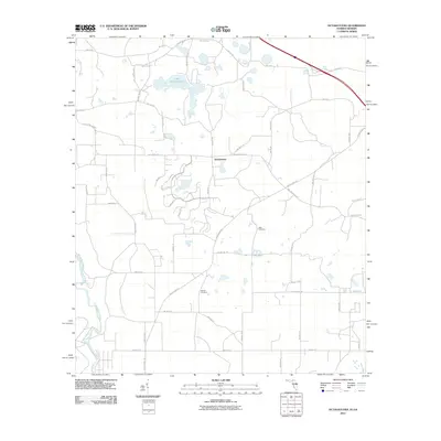 2011 Octahatchee2011 Print · USGSCovers Jennings, including Octahatchee, Lowndes County, and other nearby areas
 - 2011 Map of Jennings, 2011 Print
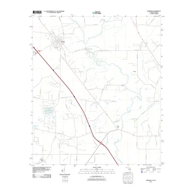 2011 Jennings2011 Print · USGSCovers Jennings, including Avoca, West Lake, and other nearby areas
 - 2012 Map of Octahatchee, 2012 Print
 2012 Octahatchee2012 Print · USGSCovers Jennings, including Octahatchee, Lowndes County, and other nearby areas
 - 2012 Map of Jennings, 2012 Print
 2012 Jennings2012 Print · USGSCovers Jennings, including Avoca, West Lake, and other nearby areas
 - 2015 Map of Octahatchee, 2015 Print
 2015 Octahatchee2015 Print · USGSCovers Jennings, including Octahatchee, Lowndes County, and other nearby areas
 - 2015 Map of Jennings, 2015 Print
 2015 Jennings2015 Print · USGSCovers Jennings, including Avoca, West Lake, and other nearby areas
 - 2018 Map of Octahatchee, 2018 Print
 2018 Octahatchee2018 Print · USGSCovers Jennings, including Octahatchee, Lowndes County, and other nearby areas
 - 2018 Map of Jennings, 2018 Print
 2018 Jennings2018 Print · USGSCovers Jennings, including Avoca, West Lake, and other nearby areas
 - 2021 Map of Jennings, 2021 Print
 2021 Jennings2021 Print · USGSCovers Jennings, including Avoca, West Lake, and other nearby areas
 - 2021 Map of Octahatchee, 2021 Print
 2021 Octahatchee2021 Print · USGSCovers Jennings, including Octahatchee, Lowndes County, and other nearby areas
 - 2024 Map of Jennings, 2024 Print
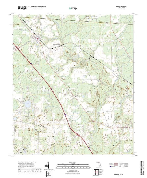 2024 Jennings2024 Print · USGSThe Florida-Georgia borderlands near Jennings come alive in this modern survey of Hamilton and Echols counties. Genealogists can locate numerous small burial sites like Sasser Landing African American Cem, Dempsey Cem, and Byrd Cem along the Alapaha River.
 - 2024 Map of Octahatchee, 2024 Print
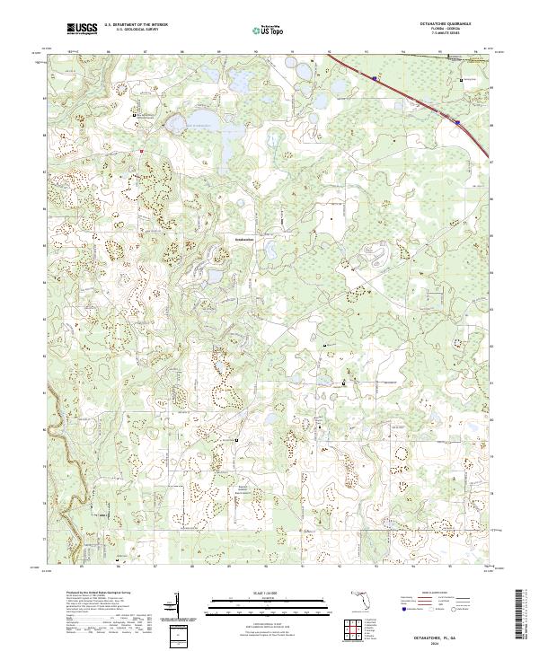 2024 Octahatchee2024 Print · USGSHamilton County near the Georgia border comes into focus in this recent survey of the North Florida woodlands. Researchers can locate numerous family burial sites like Wells Cem and McCall Cem or trace the banks of the Withlacoochee River.
End of results
Showing maps 1-18 of 18
Top cities near Jennings
- Valdosta historical maps
- Jasper historical maps
- Dasher historical maps
- Lake Park historical maps
- Lee historical maps
- Ellaville historical maps
Frequently asked questions
- What are the different types of historical maps available for Jennings?
- What is the oldest map of Jennings?
- Where can I purchase historical maps of Jennings for my home or office?
- Where can I download high-res historical maps of Jennings?
- Are there historical topographic maps available for Jennings?
- Is there historical aerial imagery available for Jennings?
- Where are historical maps of Jennings sourced from?