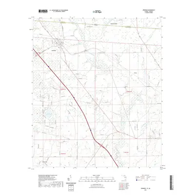
2021 Map of Jennings
USGS Topo · Published 2021About this map
Jennings serves as the focal point of this northern Hamilton County landscape, situated where the Alapahoochee River and Alapaha River wind through the borderlands between Georgia and Florida. The town's grid, including streets like Cherry St and Bee St, reflects its development as a regional crossroads near the state line. Moving southeast, the landscape transitions into the small settlement of Avoca and the water-rich terrain surrounding Alligator Cr.
Find a feature on this map
81 named features on this map. Tap any name to fly to it.
Don’t see what you’re looking for? This feature index may not catch every label — zoom into the map to look around manually.
Map Details
Editions of this 2021 Jennings Map
This is the sole edition of this map. No revisions or reprints were ever made.
Other maps of this area

1954 · Valdosta
USGS Topo · 1:250,000

1955 · Jasper
USGS Topo · 1:24,000

1956 · Jennings
USGS Topo · 1:24,000

1956 · Octahatchee
USGS Topo · 1:24,000

1958 · Valdosta
USGS Topo · 1:250,000

1958 · Fort Union
USGS Topo · 1:24,000

1959 · Valdosta
USGS Topo · 1:250,000

1959 · Ellaville
USGS Topo · 1:24,000

1961 · Hillcoat
USGS Topo · 1:24,000

1971 · Lake Park
USGS Topo · 1:24,000