2000s (21st Century) Maps of Timber Pines, Florida
Explore 5 historic maps of Timber Pines from the 2000s (21st Century). These maps offer a rare glimpse into what life looked like during the 2000s — showing old roads, neighborhoods, homes, and landmarks that have changed or disappeared over time.
Whether you're researching your family's past, planning a metal detecting trip, or studying how Timber Pines's landscape evolved across the 2000s, these high-resolution maps are a powerful tool for exploring the history of this region.
- Focus on a specific era: All maps on this page are from the 2000s, giving you a focused view of this time period.
- See what’s changed: Compare century-old streets, trails, and buildings to today's modern landscape using overlays and satellite layers.
- Research with precision: Use these maps for genealogy, historical research, land use analysis, or educational projects.
- View, download, or print: Maps are fully viewable online in high resolution, and can be downloaded or printed for your own records.
Start exploring Timber Pines's history through authentic maps from the 2000s. This is your window into the past.
Timber Pines, FL maps
(5)- 2012 Map of Port Richey NE, 2012 Print
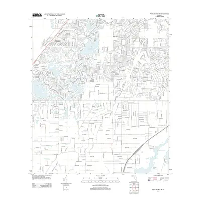 2012 Port Richey NE2012 Print · USGSCovers Timber Pines, including Spring Hill, Weekiwachee Woodlands, and other nearby areas
 - 2015 Map of Port Richey NE, 2015 Print
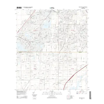 2015 Port Richey NE2015 Print · USGSCovers Timber Pines, including Spring Hill, Weekiwachee Woodlands, and other nearby areas
 - 2018 Map of Port Richey NE, 2018 Print
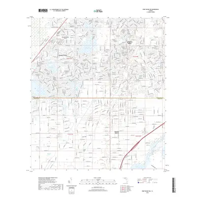 2018 Port Richey NE2018 Print · USGSCovers Timber Pines, including Spring Hill, Weekiwachee Woodlands, and other nearby areas
 - 2021 Map of Port Richey NE, 2021 Print
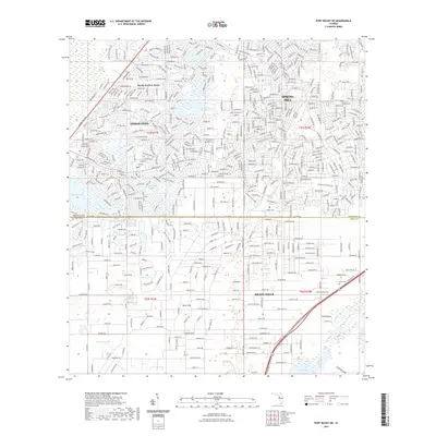 2021 Port Richey NE2021 Print · USGSCovers Timber Pines, including Spring Hill, Weekiwachee Woodlands, and other nearby areas
 - 2024 Map of Port Richey NE, 2024 Print
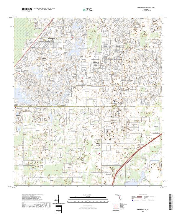 2024 Port Richey NE2024 Print · USGSThe Hernando and Pasco County borderlands are shown in the early 2020s as a landscape of rapid suburban growth. Genealogists and local researchers can trace residential development around Spring Hill and locate the rural Loyce Cem near the Suncoast Pkwy.
End of results
Showing maps 1-5 of 5
Top cities near Timber Pines
- Spring Hill historical maps
- Bayonet Point historical maps
- Hudson historical maps
- Brooksville historical maps
- South Brooksville historical maps
- Port Richey historical maps
See more
Frequently asked questions
- What are the different types of historical maps available for Timber Pines?
- What is the oldest map of Timber Pines?
- Where can I purchase historical maps of Timber Pines for my home or office?
- Where can I download high-res historical maps of Timber Pines?
- Are there historical topographic maps available for Timber Pines?
- Is there historical aerial imagery available for Timber Pines?
- Where are historical maps of Timber Pines sourced from?