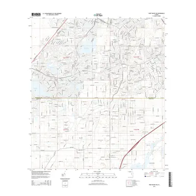
2015 Map of Port Richey NE
USGS Topo · Published 2015About this map
The dense residential network of Spring Hill Dr and Commercial Way defines the landscape of the Florida Suncoast during this 2015 survey. This area, spanning the boundary between Hernando Co and Pasco Co, is characterized by an extensive suburban grid that interfaces with a unique karst topography. Distinctive geological features such as Rock Sink and Coffee Sink are preserved amidst the development, illustrating the region's porous limestone foundation.
Find a feature on this map
25 named features on this map. Tap any name to fly to it.
Don’t see what you’re looking for? This feature index may not catch every label — zoom into the map to look around manually.
Map Details
Editions of this 2015 Port Richey NE Map
This is the sole edition of this map. No revisions or reprints were ever made.
Other maps of this area

1954 · Ehren
USGS Topo · 1:24,000

1954 · Port Richey
USGS Topo · 1:24,000

1954 · Fivay
USGS Topo · 1:24,000

1954 · Brooksville
USGS Topo · 1:24,000

1954 · Aripeka
USGS Topo · 1:24,000

1954 · Bayport
USGS Topo · 1:24,000

1954 · Masaryktown
USGS Topo · 1:24,000

1954 · Weekiwachee Springs
USGS Topo · 1:24,000

1954 · Port Richey NE
USGS Topo · 1:24,000

1955 · Plant City
USGS Topo · 1:250,000