2020s Maps of Lake Placid, Florida
Explore 4 historic maps of Lake Placid from the 2020s. These maps offer a rare glimpse into what life looked like during the 2020s — showing old roads, neighborhoods, homes, and landmarks that have changed or disappeared over time.
Whether you're researching your family's past, planning a metal detecting trip, or studying how Lake Placid's landscape evolved across the 2020s, these high-resolution maps are a powerful tool for exploring the history of this region.
- Focus on a specific era: All maps on this page are from the 2020s, giving you a focused view of this time period.
- See what’s changed: Compare century-old streets, trails, and buildings to today's modern landscape using overlays and satellite layers.
- Research with precision: Use these maps for genealogy, historical research, land use analysis, or educational projects.
- View, download, or print: Maps are fully viewable online in high resolution, and can be downloaded or printed for your own records.
Start exploring Lake Placid's history through authentic maps from the 2020s. This is your window into the past.
Lake Placid, FL maps
(4)- 2021 Map of Lake June In Winter, 2021 Print
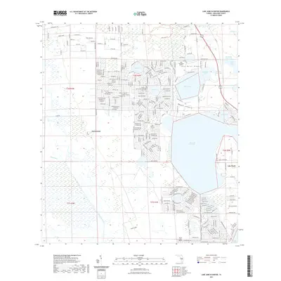 2021 Lake June In Winter2021 Print · USGSCovers Lake Placid, including Hen Scratch, Highlands County, and other nearby areas
 - 2021 Map of Lake Placid, 2021 Print
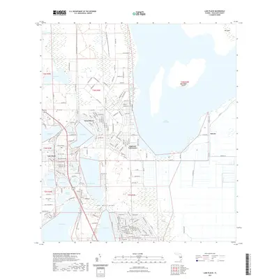 2021 Lake Placid2021 Print · USGSCovers Lake Placid, including Sunvale, Sylvan Shores, and other nearby areas
 - 2024 Map of Lake Placid, 2024 Print
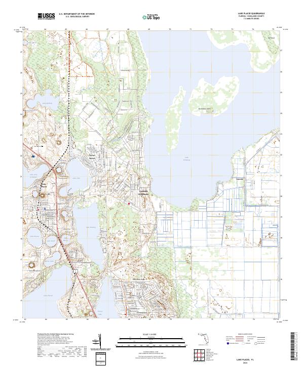 2024 Lake Placid2024 Print · USGSFlorida's lake country is on full display in this contemporary look at the settlements and citrus-growing regions around the town of Lake Placid. Genealogists and researchers can trace local neighborhoods and landmarks like Oak Hill Cem, Sunvale, and the varied shorelines of Lake Huntley.
 - 2024 Map of Lake June In Winter, 2024 Print
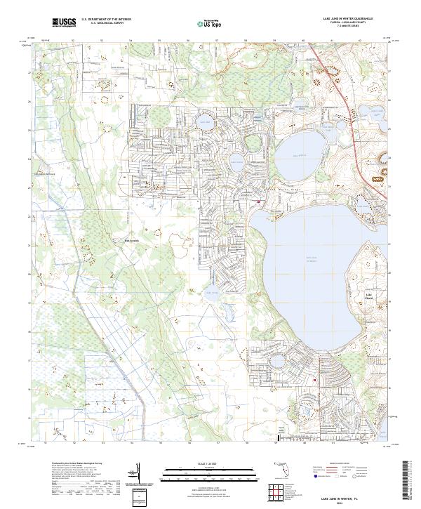 2024 Lake June In Winter2024 Print · USGSHighlands County's ridge and lake country is captured here during a period of significant residential and aviation growth. Researchers can trace the development of Lake Placid and locate local landmarks like Hen Scratch or the Lake Persimmon Airstrip.
End of results
Showing maps 1-4 of 4
Top cities near Lake Placid
Frequently asked questions
- What are the different types of historical maps available for Lake Placid?
- What is the oldest map of Lake Placid?
- Where can I purchase historical maps of Lake Placid for my home or office?
- Where can I download high-res historical maps of Lake Placid?
- Are there historical topographic maps available for Lake Placid?
- Is there historical aerial imagery available for Lake Placid?
- Where are historical maps of Lake Placid sourced from?