2000s (21st Century) Maps of Vero Beach, Florida
Explore 20 historic maps of Vero Beach from the 2000s (21st Century). These maps offer a rare glimpse into what life looked like during the 2000s — showing old roads, neighborhoods, homes, and landmarks that have changed or disappeared over time.
Whether you're researching your family's past, planning a metal detecting trip, or studying how Vero Beach's landscape evolved across the 2000s, these high-resolution maps are a powerful tool for exploring the history of this region.
- Focus on a specific era: All maps on this page are from the 2000s, giving you a focused view of this time period.
- See what’s changed: Compare century-old streets, trails, and buildings to today's modern landscape using overlays and satellite layers.
- Research with precision: Use these maps for genealogy, historical research, land use analysis, or educational projects.
- View, download, or print: Maps are fully viewable online in high resolution, and can be downloaded or printed for your own records.
Start exploring Vero Beach's history through authentic maps from the 2000s. This is your window into the past.
Vero Beach, FL maps
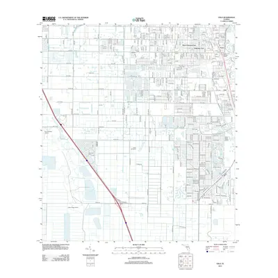
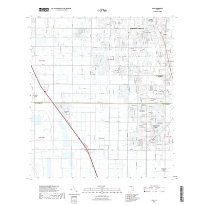
(20)- 2012 Map of Indrio, 2012 Print
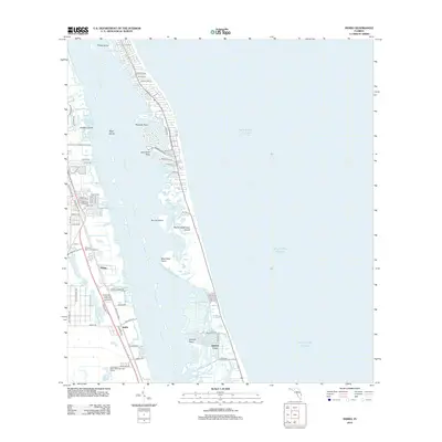 2012 Indrio2012 Print · USGSCovers Vero Beach, including Saint Lucie Village, Queens Cove, and other nearby areas
 - 2012 Map of Vero Beach, 2012 Print
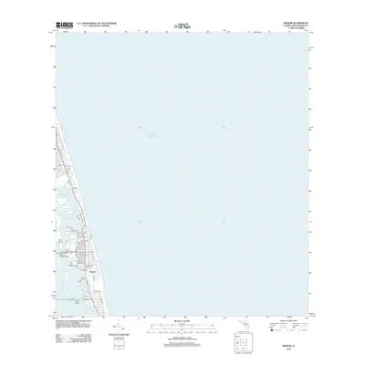
 2012 Vero Beach2012 Print · USGSCovers Vero Beach, including Sebastian, Gifford, and other nearby areas
 - 2012 Map of Riomar, 2012 Print
 2012 Riomar2012 Print · USGSCovers Vero Beach, including Indian River Shores, Riomar, and other nearby areas
 - 2012 Map of Oslo, 2012 Print
 2012 Oslo2012 Print · USGSCovers Vero Beach, including Lakewood Park, Nevins, and other nearby areas
 - 2015 Map of Indrio, 2015 Print
 2015 Indrio2015 Print · USGSCovers Vero Beach, including Saint Lucie Village, Queens Cove, and other nearby areas
 - 2015 Map of Oslo, 2015 Print
 2015 Oslo2015 Print · USGSCovers Vero Beach, including Lakewood Park, Nevins, and other nearby areas
 - 2015 Map of Vero Beach, 2015 Print
 2015 Vero Beach2015 Print · USGSCovers Vero Beach, including Sebastian, Gifford, and other nearby areas
 - 2015 Map of Riomar, 2015 Print
 2015 Riomar2015 Print · USGSCovers Vero Beach, including Indian River Shores, Riomar, and other nearby areas
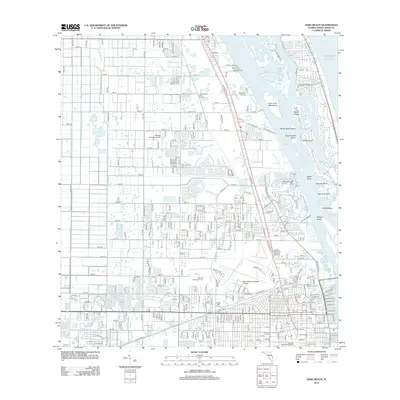
 - 2018 Map of Vero Beach, 2018 Print
 2018 Vero Beach2018 Print · USGSCovers Vero Beach, including Sebastian, Gifford, and other nearby areas
 - 2018 Map of Oslo, 2018 Print
 2018 Oslo2018 Print · USGSCovers Vero Beach, including Lakewood Park, Nevins, and other nearby areas
 - 2018 Map of Indrio, 2018 Print
 2018 Indrio2018 Print · USGSCovers Vero Beach, including Saint Lucie Village, Queens Cove, and other nearby areas
 - 2018 Map of Riomar, 2018 Print
 2018 Riomar2018 Print · USGSCovers Vero Beach, including Indian River Shores, Riomar, and other nearby areas
 - 2021 Map of Riomar, 2021 Print
 2021 Riomar2021 Print · USGSCovers Vero Beach, including Indian River Shores, Riomar, and other nearby areas
 - 2021 Map of Indrio, 2021 Print
 2021 Indrio2021 Print · USGSCovers Vero Beach, including Saint Lucie Village, Queens Cove, and other nearby areas
 - 2021 Map of Oslo, 2021 Print
 2021 Oslo2021 Print · USGSCovers Vero Beach, including Lakewood Park, Nevins, and other nearby areas
 - 2021 Map of Vero Beach, 2021 Print
 2021 Vero Beach2021 Print · USGSCovers Vero Beach, including Sebastian, Gifford, and other nearby areas
 - 2024 Map of Oslo, 2024 Print
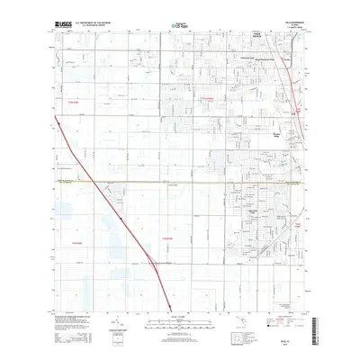
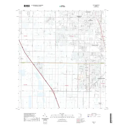
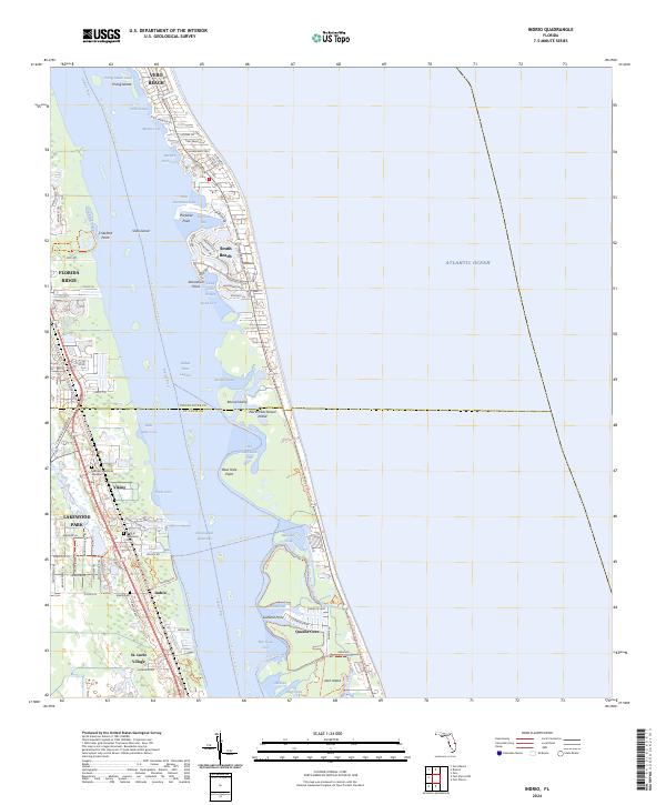
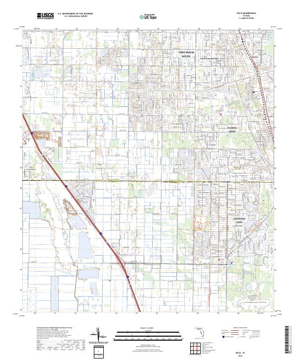 2024 Oslo2024 Print · USGSSpanning the border of Indian River and St. Lucie counties in 2024, this modern survey shows the coastal residential growth west of the Indian River Lagoon. Trace local history through the streets of Oslo, the Oslo Cem, and the massive Treasure Coast International Airport.
 - 2024 Map of Riomar, 2024 Print
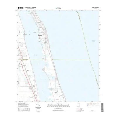
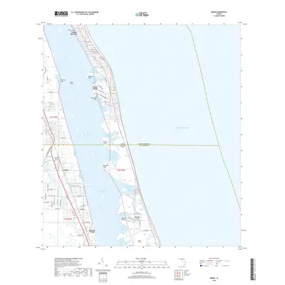
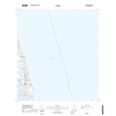
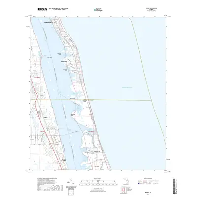
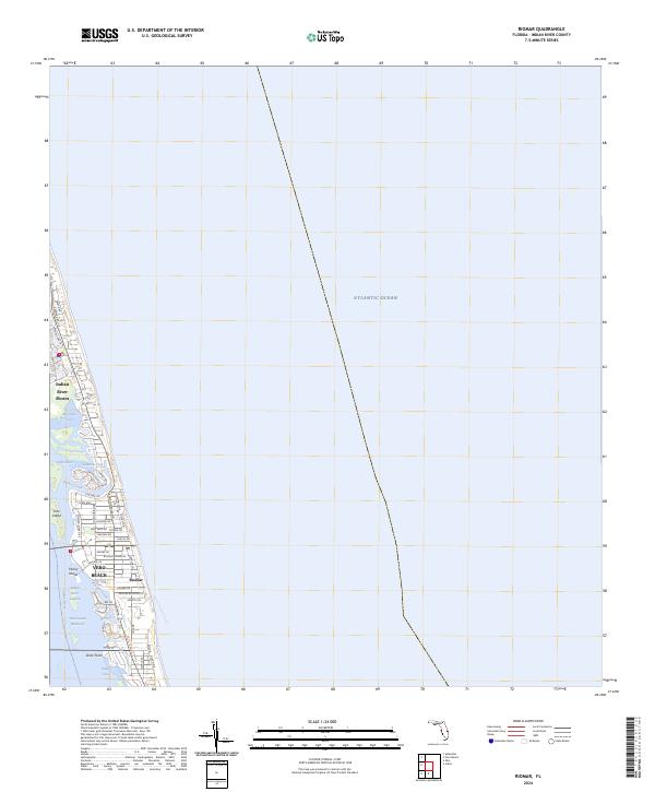 2024 Riomar2024 Print · USGSModern Vero Beach and the surrounding barrier islands are captured in this recent survey of the Florida coast. Researchers can trace the developed residential landscape of Riomar and Indian River Shores, alongside the Intracoastal Waterway and the East Coast Greenway Tr.
 - 2024 Map of Vero Beach, 2024 Print
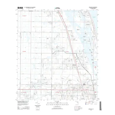
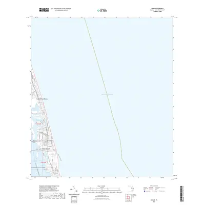
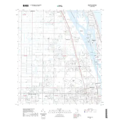
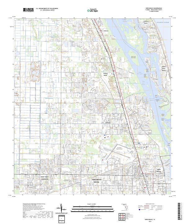 2024 Vero Beach2024 Print · USGSCoastal Florida's barrier islands and mainland communities are captured here in the early twenty-first century as the region continues its modern expansion. Genealogists and local historians can locate family sites near Winter Beach Cem or trace the development around the Indian River County Courthouse and Vero Beach Regional Airport.
 - 2024 Map of Indrio, 2024 Print
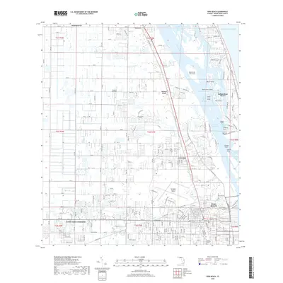
 2024 Indrio2024 Print · USGSThe St. Lucie coastline and Indian River lagoon are shown here in detail during the early twenty-first century. Researchers can locate the Viking Cem, trace the Florida Circumavigational Paddling Trl, and explore the island coves around Indrio.
End of results
Showing maps 1-20 of 20
Top cities near Vero Beach
- Palm Bay historical maps
- Fort Pierce historical maps
- Sebastian historical maps
- Lakewood Park historical maps
- Gifford historical maps
- Micco historical maps
See more
Top neighborhoods of Vero Beach
Frequently asked questions
- What are the different types of historical maps available for Vero Beach?
- What is the oldest map of Vero Beach?
- Where can I purchase historical maps of Vero Beach for my home or office?
- Where can I download high-res historical maps of Vero Beach?
- Are there historical topographic maps available for Vero Beach?
- Is there historical aerial imagery available for Vero Beach?
- Where are historical maps of Vero Beach sourced from?