Old Maps of Graceville, Florida for Hiking & Exploration
Hike through history with 20 historic maps of Graceville. Explore old trails, ghost towns, and forgotten backroads — perfect for outdoor adventurers and local explorers.
- Rediscover forgotten places: Map out old mining camps, roads, and footpaths that no longer exist on modern maps.
- Layer with modern tools: Combine with LiDAR or satellite views to plan hikes through historical terrain.
- Made for exploration: Popular among hikers, overlanders, and local history lovers.
Use these maps to find adventure and explore the hidden past of Graceville.
Graceville, FL maps
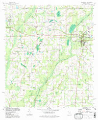
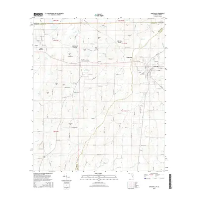
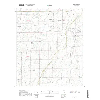
(20)- 1951 Map of Graceville
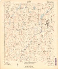 1951 Graceville1951 Print · USGSGraceville and the surrounding Florida-Alabama borderlands are captured here during the early fifties, showing a landscape of timber and rail. Researchers can trace family roots through numerous local landmarks like Liberty Hill Ch, Poplar Springs Sch, and Collins Mill.2 unique versions available
 - 1952 Map of Campbellton, 1953 Print
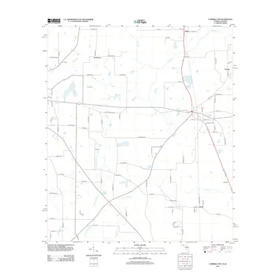
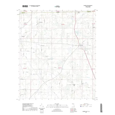
 1952 Campbellton1953 Print · USGSJackson County and the Florida-Alabama border are captured here in the early fifties, centered on the rail-fed hub of Campbellton. Genealogists can trace rural community life through numerous local landmarks like Hinson Cem, Shiloh Sch, and Ellaville.2 unique versions available
 - 1954 Map of Tallahassee, 1967 Print
 1954 Tallahassee1967 Print · USGSThe Florida Panhandle and South Georgia are captured here during a period of mid-century growth and military expansion. Researchers can trace the development of Panama City, the footprint of Tyndall Air Force Base, and the rail lines of the Atlantic Coast Line.4 unique versions available
 - 1959 Map of Tallahassee
 1959 Tallahassee1959 Print · USGSFlorida's Panhandle and the Big Bend region appear here in the mid-fifties, showing a landscape defined by its great river systems and developing coast. Trace the early layout of Panama City, the expansive Apalachicola National Forest, and the coastal St Marks Lighthouse.
 - 1960 Map of Tallahassee
 1960 Tallahassee1960 Print · USGSThe Florida Panhandle and southern Georgia are captured here in the mid-twentieth century, showing a region defined by its rivers and military installations. Genealogists and historians can trace the growth of Tallahassee or locate coastal landmarks like the St Marks Lighthouse and Tyndall Air Force Base.
 - 1979 Map of Marianna, 1980 Print
 1979 Marianna1980 Print · USGSFlorida's northern panhandle and the neighboring Alabama-Georgia borderlands are captured here in the late seventies. Genealogists and local historians can trace family roots through settlements like Graceville and Cottondale or follow the historic Louisville and Nashville rail lines.2 unique versions available
 - 1982 Map of Campbellton
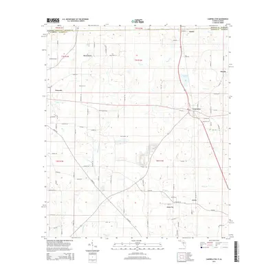
 1982 Campbellton1982 Print · USGSJackson County and the Florida-Alabama border appear here in the early eighties as a landscape of crossroads settlements and small-town junctions. Genealogists can trace family landmarks like Hinson Cem and Salem Ch along the Atlanta and Saint Andrews Bay rail line.2 unique versions available
 - 1982 Map of Graceville, 1983 Print
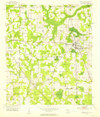
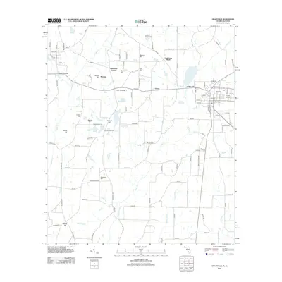
 1982 Graceville1983 Print · USGSThe Florida-Alabama borderlands come into focus in the early eighties, showcasing the agricultural and rail-oriented landscape around Graceville. Genealogists and historians can trace community roots at Cem Liberty Hill Ch, Damascus Ch, and the site of Collins Mill.2 unique versions available
 - 1988 Map of Tallahassee
 1988 Tallahassee1988 Print · USGSThe Florida Panhandle and South Georgia are captured here in the late eighties, showing the expansion of the regional highway network and coastal growth. Genealogists and historians can trace rail lines like the Seaboard System Railroad or locate family roots in Blountstown, Graceville, or Crawfordville.2 unique versions available
 - 1994 Map of Graceville, 1998 Print
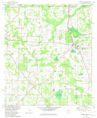
 1994 Graceville1998 Print · USGSGraceville and the Alabama state line are captured in the late twentieth century, showing a rural landscape defined by rail crossings and cypress bays. Genealogists can locate family landmarks like Murphy Hill, Collins Mill, and country churches such as Damascus Ch.
 - 2012 Map of Graceville, 2012 Print
 2012 Graceville2012 Print · USGSCovers Graceville, including Noma, Noma Junction, and other nearby areas
 - 2012 Map of Campbellton, 2012 Print
 2012 Campbellton2012 Print · USGSCovers Graceville, including Jacob City, Campbellton, and other nearby areas
 - 2015 Map of Campbellton, 2015 Print
 2015 Campbellton2015 Print · USGSCovers Graceville, including Jacob City, Campbellton, and other nearby areas
 - 2015 Map of Graceville, 2015 Print
 2015 Graceville2015 Print · USGSCovers Graceville, including Noma, Noma Junction, and other nearby areas
 - 2018 Map of Campbellton, 2018 Print
 2018 Campbellton2018 Print · USGSCovers Graceville, including Jacob City, Campbellton, and other nearby areas
 - 2018 Map of Graceville, 2018 Print
 2018 Graceville2018 Print · USGSCovers Graceville, including Noma, Noma Junction, and other nearby areas
 - 2021 Map of Campbellton, 2021 Print
 2021 Campbellton2021 Print · USGSCovers Graceville, including Jacob City, Campbellton, and other nearby areas
 - 2021 Map of Graceville, 2021 Print
 2021 Graceville2021 Print · USGSCovers Graceville, including Noma, Noma Junction, and other nearby areas
 - 2024 Map of Campbellton, 2024 Print
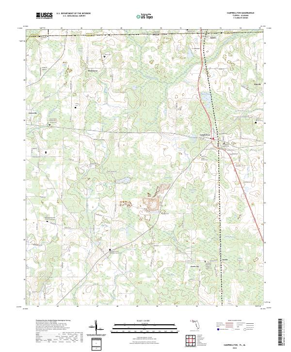 2024 Campbellton2024 Print · USGSThe Florida-Alabama borderlands come alive in this survey of Jackson County, showcasing a landscape of timber, agriculture, and deeply rooted rural communities. Genealogists and historians can trace family locations through numerous sites like Jacob City, Campbellton, and the Springhill United Methodist Church Cem.
 - 2024 Map of Graceville, 2024 Print
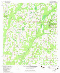
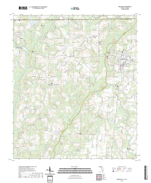 2024 Graceville2024 Print · USGSGraceville and the Alabama borderlands appear here in modern detail, illustrating the rural character of the Panhandle interior. Genealogists can trace family landmarks like East Mount Zion Methodist Cem, Collins Mill, and The Baptist College of Florida.
End of results
Showing maps 1-20 of 20
Top cities near Graceville
- Dothan historical maps
- Chipley historical maps
- Bonifay historical maps
- Hartford historical maps
- Taylor historical maps
- Slocomb historical maps
See more
Top neighborhoods of Graceville
Frequently asked questions
- What are the different types of historical maps available for Graceville?
- What is the oldest map of Graceville?
- Where can I purchase historical maps of Graceville for my home or office?
- Where can I download high-res historical maps of Graceville?
- Are there historical topographic maps available for Graceville?
- Is there historical aerial imagery available for Graceville?
- Where are historical maps of Graceville sourced from?