2000s (21st Century) Maps of Jacob City, Florida
Explore 10 historic maps of Jacob City from the 2000s (21st Century). These maps offer a rare glimpse into what life looked like during the 2000s — showing old roads, neighborhoods, homes, and landmarks that have changed or disappeared over time.
Whether you're researching your family's past, planning a metal detecting trip, or studying how Jacob City's landscape evolved across the 2000s, these high-resolution maps are a powerful tool for exploring the history of this region.
- Focus on a specific era: All maps on this page are from the 2000s, giving you a focused view of this time period.
- See what’s changed: Compare century-old streets, trails, and buildings to today's modern landscape using overlays and satellite layers.
- Research with precision: Use these maps for genealogy, historical research, land use analysis, or educational projects.
- View, download, or print: Maps are fully viewable online in high resolution, and can be downloaded or printed for your own records.
Start exploring Jacob City's history through authentic maps from the 2000s. This is your window into the past.
Jacob City, FL maps
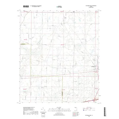
(10)- 2012 Map of Cottondale West, 2012 Print
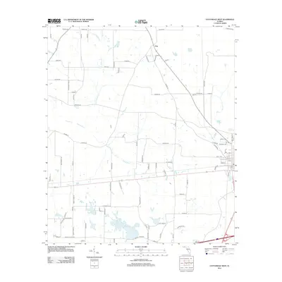 2012 Cottondale West2012 Print · USGSCovers Jacob City, including Cottondale, Glass, and other nearby areas
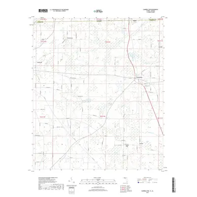
 - 2012 Map of Campbellton, 2012 Print
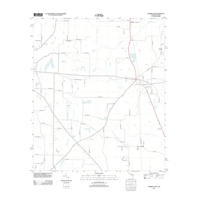 2012 Campbellton2012 Print · USGSCovers Jacob City, including Graceville, Campbellton, and other nearby areas
 - 2015 Map of Cottondale West, 2015 Print
 2015 Cottondale West2015 Print · USGSCovers Jacob City, including Cottondale, Glass, and other nearby areas
 - 2015 Map of Campbellton, 2015 Print
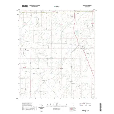
 2015 Campbellton2015 Print · USGSCovers Jacob City, including Graceville, Campbellton, and other nearby areas
 - 2018 Map of Cottondale West, 2018 Print
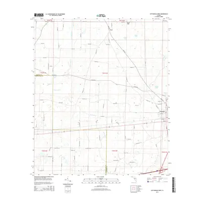
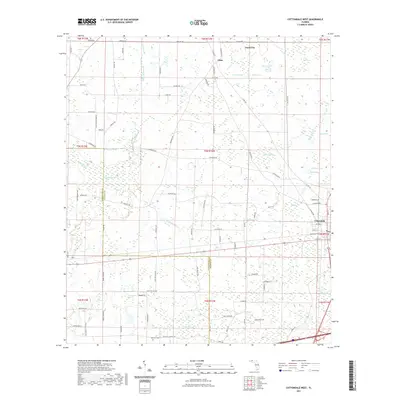
 2018 Cottondale West2018 Print · USGSCovers Jacob City, including Cottondale, Glass, and other nearby areas
 - 2018 Map of Campbellton, 2018 Print
 2018 Campbellton2018 Print · USGSCovers Jacob City, including Graceville, Campbellton, and other nearby areas
 - 2021 Map of Campbellton, 2021 Print
 2021 Campbellton2021 Print · USGSCovers Jacob City, including Graceville, Campbellton, and other nearby areas
 - 2021 Map of Cottondale West, 2021 Print
 2021 Cottondale West2021 Print · USGSCovers Jacob City, including Cottondale, Glass, and other nearby areas
 - 2024 Map of Cottondale West, 2024 Print
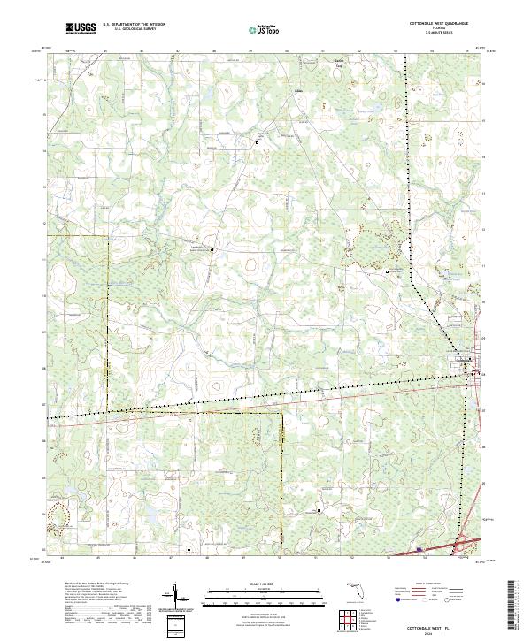 2024 Cottondale West2024 Print · USGSJackson County and Washington County are shown here in the early 2020s, centered on the town of Cottondale. Researchers can trace local lineage at sites like Pilgrim Rest Baptist Cem or explore the hydrology of Skipper Lake and Gilberts Mill Creek.
 - 2024 Map of Campbellton, 2024 Print
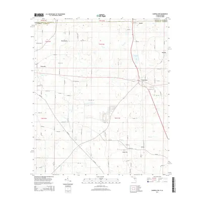
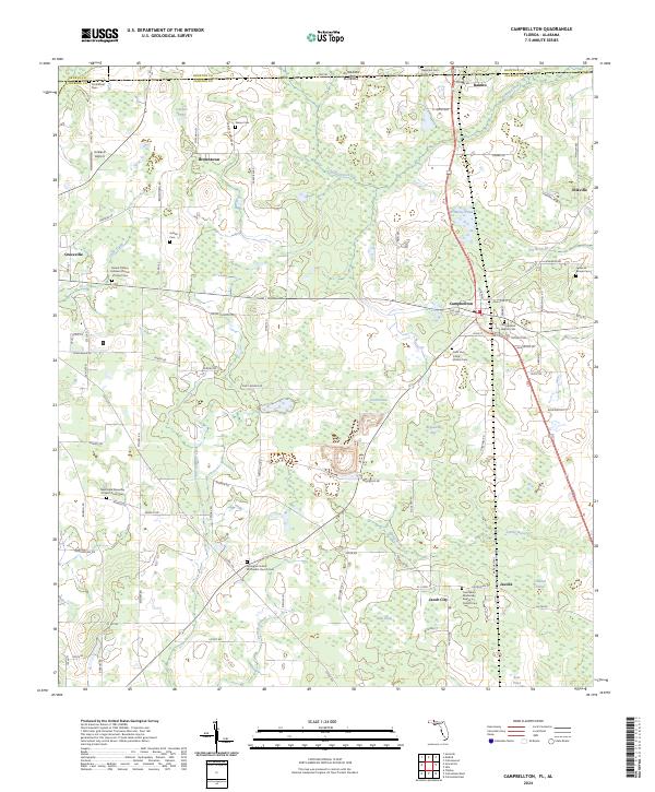 2024 Campbellton2024 Print · USGSThe Florida-Alabama borderlands come alive in this survey of Jackson County, showcasing a landscape of timber, agriculture, and deeply rooted rural communities. Genealogists and historians can trace family locations through numerous sites like Jacob City, Campbellton, and the Springhill United Methodist Church Cem.
End of results
Showing maps 1-10 of 10
Top cities near Jacob City
- Marianna historical maps
- Chipley historical maps
- Graceville historical maps
- Slocomb historical maps
- Rehobeth historical maps
- Malvern historical maps
See more
Frequently asked questions
- What are the different types of historical maps available for Jacob City?
- What is the oldest map of Jacob City?
- Where can I purchase historical maps of Jacob City for my home or office?
- Where can I download high-res historical maps of Jacob City?
- Are there historical topographic maps available for Jacob City?
- Is there historical aerial imagery available for Jacob City?
- Where are historical maps of Jacob City sourced from?