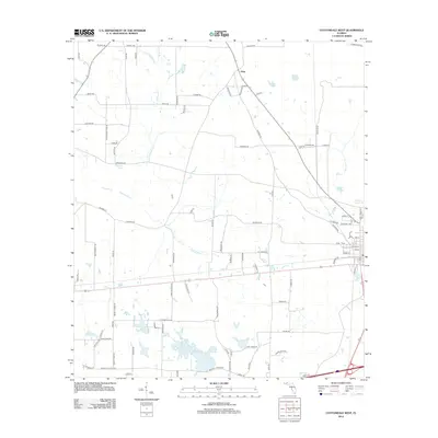
2012 Map of Cottondale West
USGS Topo · Published 2012About this map
Glass sits near the northern boundary of this survey, surrounded by a complex network of wetlands and seasonal watercourses in rural Jackson County. The landscape is defined by its low-lying hydrology, where Little Alligator Cr and Dorman Br feed into larger systems like Gilberts Mill Cr. This area is dotted with numerous small named basins, including Harold Pond, Grassy Pond, and Jackson Pond, suggesting a terrain shaped by sinkholes and localized drainage common to this part of the Florida Panhandle.
Find a feature on this map
87 named features on this map. Tap any name to fly to it.
Don’t see what you’re looking for? This feature index may not catch every label — zoom into the map to look around manually.
Map Details
Editions of this 2012 Cottondale West Map
This is the sole edition of this map. No revisions or reprints were ever made.
Other maps of this area

1950 · Chipley
USGS Topo · 1:24,000

1950 · Wausau
USGS Topo · 1:24,000

1951 · Graceville
USGS Topo · 1:24,000

1951 · Chipley
USGS Topo · 1:24,000

1951 · Wausau
USGS Topo · 1:24,000

1952 · Kynesville
USGS Topo · 1:24,000

1952 · Cottondale East
USGS Topo · 1:24,000

1952 · Campbellton
USGS Topo · 1:24,000

1952 · Cottondale West
USGS Topo · 1:24,000

1952 · Sills
USGS Topo · 1:24,000