
1950 Map of Wausau
USGS Topo · Published 1968About this map
Wausau serves as a focal point in the southern portion of this mid-century Florida survey, which details a landscape defined by an intricate network of cypress bays, creeks, and scattered rural institutions. The map reflects a period of established agricultural life in Washington County, evidenced by the numerous churches and schools that served the community. Notable local centers of congregation include Shiloh Ch, New Home Ch, and the Oak Grove Sch.
Find a feature on this map
45 named features on this map. Tap any name to fly to it.
Don’t see what you’re looking for? This feature index may not catch every label — zoom into the map to look around manually.
Map Details
Editions of this 1950 Wausau Map
This is the sole edition of this map. No revisions or reprints were ever made.
Other maps of this area

1950 · Vernon
USGS Topo · 1:24,000

1950 · Chipley
USGS Topo · 1:24,000

1950 · Gap Lake
USGS Topo · 1:24,000

1950 · Poplar Head
USGS Topo · 1:24,000

1951 · Chipley
USGS Topo · 1:24,000

1951 · Wausau
USGS Topo · 1:24,000
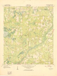
1951 · Poplar Head
USGS Topo · 1:24,000

1951 · Bonifay
USGS Topo · 1:24,000

1951 · Gap Pond
USGS Topo · 1:24,000
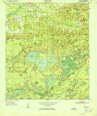
1951 · Vernon
USGS Topo · 1:24,000