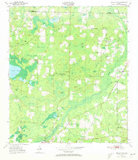
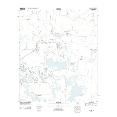
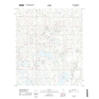
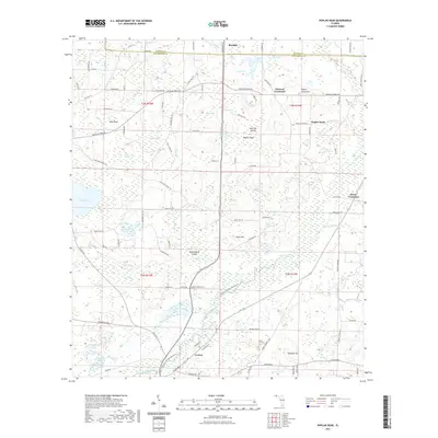
1950 Map of Poplar Head
USGS Topo · Published 1973About this map
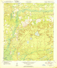
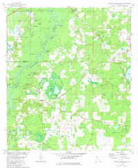
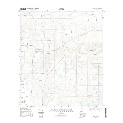
Holmes Creek winds through this panhandle landscape, marking the boundary between Holmes and Washington Counties. The area is characterized by a high concentration of named bays and pocketed wetlands, including Eighty Acre Bay and Lolly Head Bay, interspersed with isolated high ground such as Chalk Hill and Poplar Head Hill. In 1950, the settlement pattern remained dispersed, centered on key intersections like Johnson Crossroad and Brock Crossroad. The presence of several rural institutions, such as Union Hill Sch and Bethesda Ch, suggests a closely-knit agricultural community reliant on these central landmarks. The southern edge of the map features the town of Vernon along the river, while the northern reaches contain unique named islands like Red Oak Island, which are actually areas of dry land surrounded by swampy bays.
Find a feature on this map
57 named features on this map. Tap any name to fly to it.
Don’t see what you’re looking for? This feature index may not catch every label — zoom into the map to look around manually.
Map Details
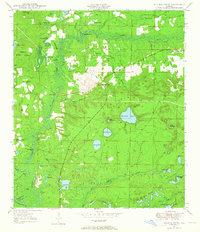
Editions of this 1950 Poplar Head Map
This is the sole edition of this map. No revisions or reprints were ever made.
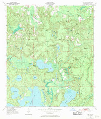
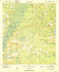
Historical Maps of Vernon Through Time
33 maps found

1949 Hinsons Cross Roads
Washington County, FL
1949 Millers Ferry
Washington County, FL
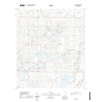
1950 Gap Lake
Washington County, FL
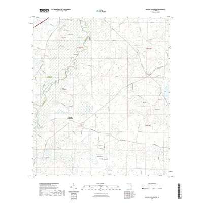
1950 Hinsons Cross Roads
Washington County, FL
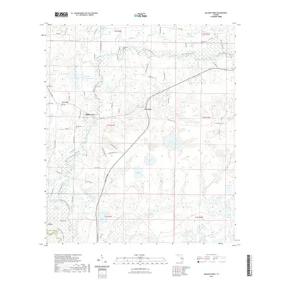
1950 Millers Ferry
Washington County, FL
1950 Poplar Head
Washington County, FL
1951 Gap Pond
Washington County, FL
1951 Poplar Head
Washington County, FL
1982 Gap Lake
Washington County, FL
1982 Hinsons Crossroads
Washington County, FL
1982 Millers Ferry
Washington County, FL
1982 Poplar Head
Washington County, FL
1994 Gap Lake
Washington County, FL
2012 Gap Lake
Washington County, FL
2012 Hinsons Crossroads
Washington County, FL
2012 Millers Ferry
Washington County, FL
2012 Poplar Head
Washington County, FL
2015 Gap Lake
Washington County, FL
2015 Hinsons Crossroads
Washington County, FL
2015 Millers Ferry
Washington County, FL
2015 Poplar Head
Washington County, FL
2018 Gap Lake
Washington County, FL
2018 Hinsons Crossroads
Washington County, FL
2018 Millers Ferry
Washington County, FL
2018 Poplar Head
Washington County, FL
2021 Gap Lake
Washington County, FL
2021 Hinsons Crossroads
Washington County, FL
2021 Millers Ferry
Washington County, FL
2021 Poplar Head
Washington County, FL
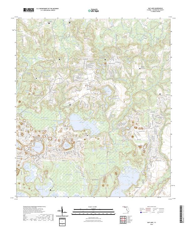
2024 Gap Lake
Washington County, FL
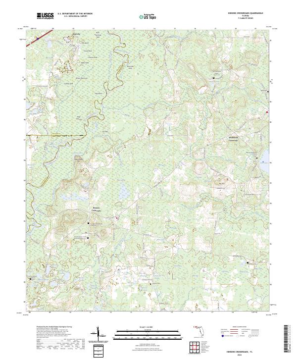
2024 Hinsons Crossroads
Washington County, FL
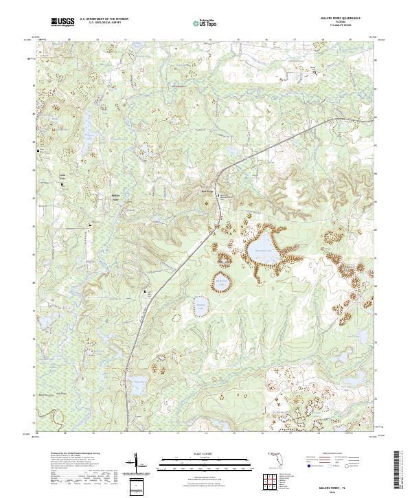
2024 Millers Ferry
Washington County, FL

2024 Poplar Head
Washington County, FL