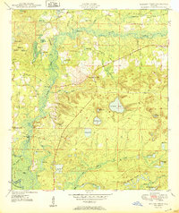
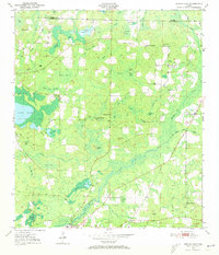
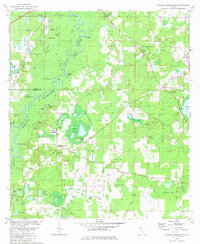
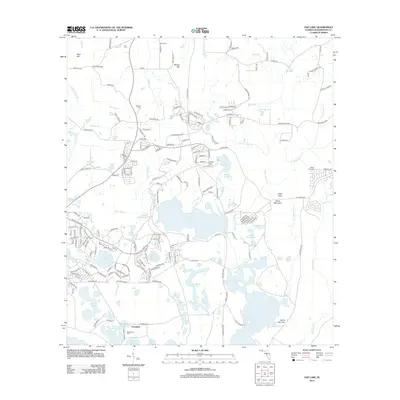
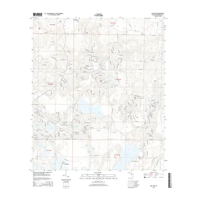
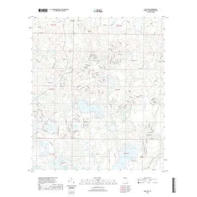
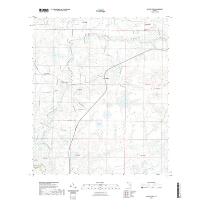
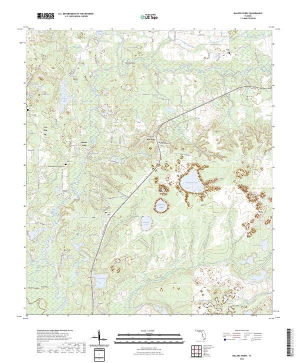
1950 Map of Millers Ferry
USGS Topo · Published 1950About this map
Holmes Creek winds through the heart of this North Florida landscape, defining the local geography with its complex oxbows and marshy bends. The river's historical importance as a transit corridor is evident through several river crossings and landings, including Millers Ferry, Shell Landing Ferry, and Spring Hill Landing. These sites, along with the Millers Ferry (PO), served as the primary connection points for the dispersed communities of Washington County and Walton County.
Find a feature on this map
62 named features on this map. Tap any name to fly to it.
Don’t see what you’re looking for? This feature index may not catch every label — zoom into the map to look around manually.
Map Details
Editions of this 1950 Millers Ferry Map
This is the sole edition of this map. No revisions or reprints were ever made.
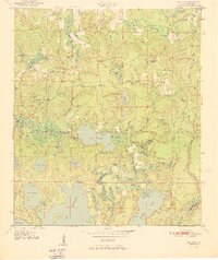
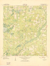
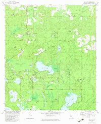
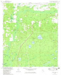
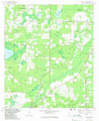
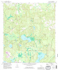
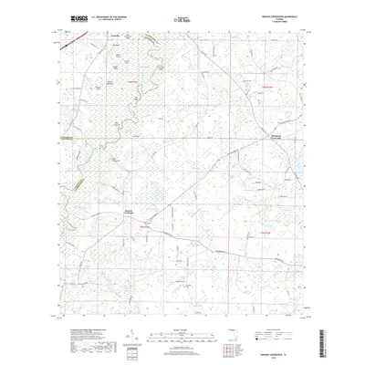
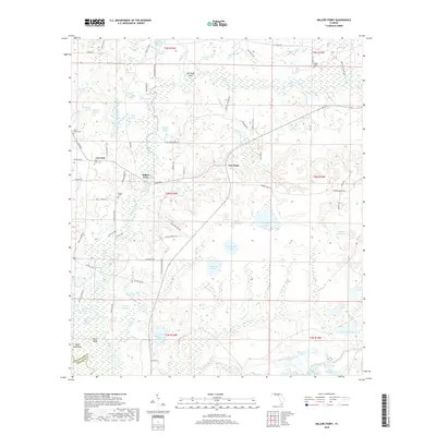
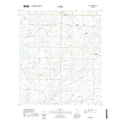
Historical Maps of Bunker Donation Through Time
33 maps found

1949 Hinsons Cross Roads
Washington County, FL
1949 Millers Ferry
Washington County, FL
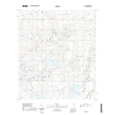
1950 Gap Lake
Washington County, FL
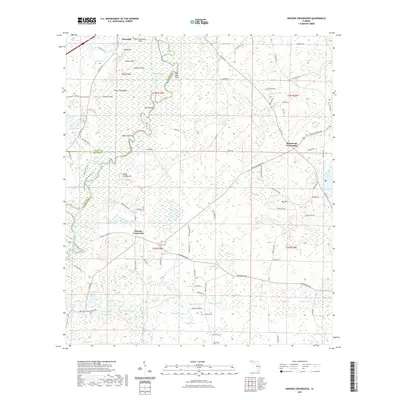
1950 Hinsons Cross Roads
Washington County, FL
1950 Millers Ferry
Washington County, FL
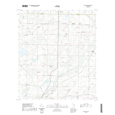
1950 Poplar Head
Washington County, FL
1951 Gap Pond
Washington County, FL
1951 Poplar Head
Washington County, FL
1982 Gap Lake
Washington County, FL
1982 Hinsons Crossroads
Washington County, FL
1982 Millers Ferry
Washington County, FL
1982 Poplar Head
Washington County, FL
1994 Gap Lake
Washington County, FL
2012 Gap Lake
Washington County, FL
2012 Hinsons Crossroads
Washington County, FL
2012 Millers Ferry
Washington County, FL
2012 Poplar Head
Washington County, FL
2015 Gap Lake
Washington County, FL
2015 Hinsons Crossroads
Washington County, FL
2015 Millers Ferry
Washington County, FL
2015 Poplar Head
Washington County, FL
2018 Gap Lake
Washington County, FL
2018 Hinsons Crossroads
Washington County, FL
2018 Millers Ferry
Washington County, FL
2018 Poplar Head
Washington County, FL
2021 Gap Lake
Washington County, FL
2021 Hinsons Crossroads
Washington County, FL
2021 Millers Ferry
Washington County, FL
2021 Poplar Head
Washington County, FL
2024 Gap Lake
Washington County, FL
2024 Hinsons Crossroads
Washington County, FL
2024 Millers Ferry
Washington County, FL

2024 Poplar Head
Washington County, FL