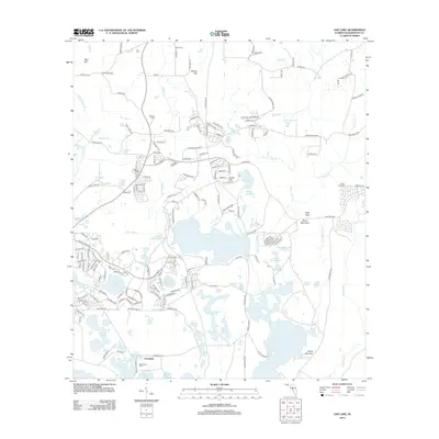
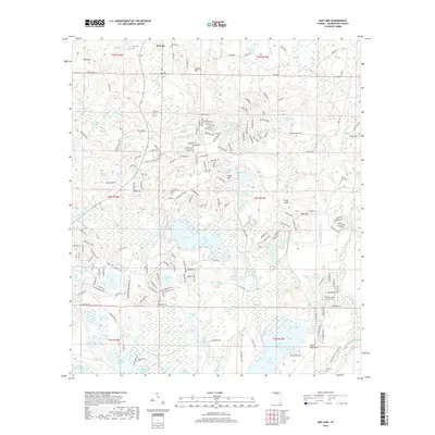
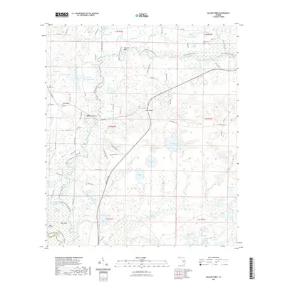
1949 Map of Millers Ferry
USGS Topo · Published 1965About this map
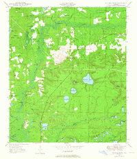
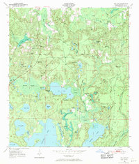
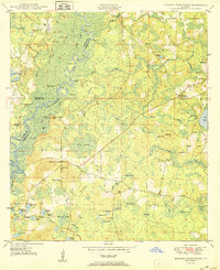
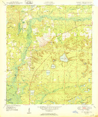
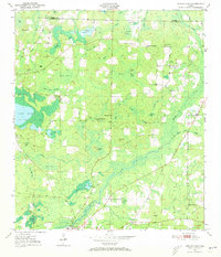
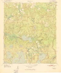
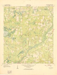
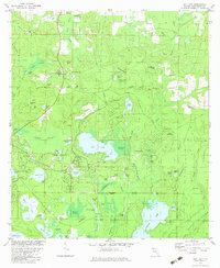
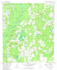
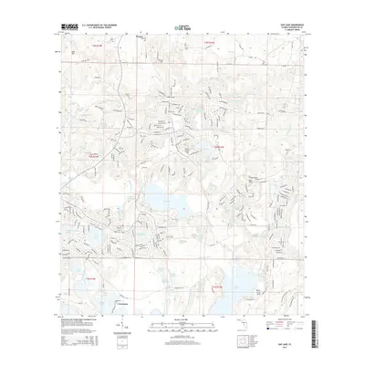
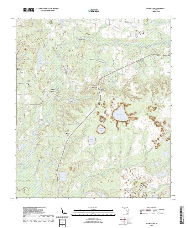
Holmes Creek winds through this landscape on the boundary of Washington and Holmes counties, defining the region's geography before it meets the Choctawhatchee R. In the late 1940s, the settlement at Millers Ferry and nearby New Hope anchored a community of rural schools and churches, including Brink-Hill Sch and St Lukes Sch. The map reveals a densely patterned system of named water bodies like Warmouth Pond and Big Brushy Pond, which suggest a terrain of lowland basins and cypress strands typical of the Florida Panhandle. Local history is preserved in small landmarks such as Miller Cem and Liberty Ch, while topographic features like Sheffield Bend and Bear Ridge illustrate how the serpentine creek shaped the available land for agriculture and settlement during this era.
Find a feature on this map
54 named features on this map. Tap any name to fly to it.
Don’t see what you’re looking for? This feature index may not catch every label — zoom into the map to look around manually.
Map Details
Editions of this 1949 Millers Ferry Map
This is the sole edition of this map. No revisions or reprints were ever made.
Historical Maps of Bunker Donation Through Time
33 maps found

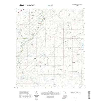
1949 Hinsons Cross Roads
Washington County, FL
1949 Millers Ferry
Washington County, FL
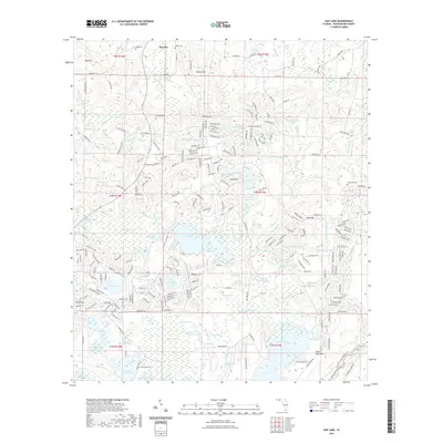
1950 Gap Lake
Washington County, FL
1950 Hinsons Cross Roads
Washington County, FL
1950 Millers Ferry
Washington County, FL
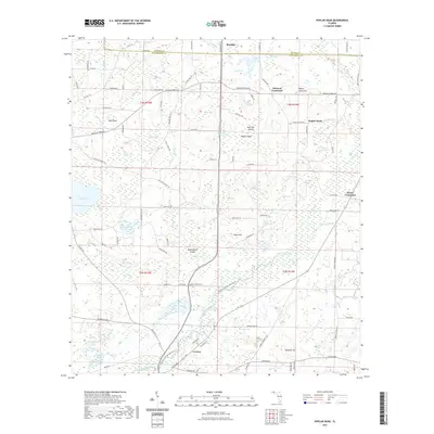
1950 Poplar Head
Washington County, FL
1951 Gap Pond
Washington County, FL
1951 Poplar Head
Washington County, FL
1982 Gap Lake
Washington County, FL
1982 Hinsons Crossroads
Washington County, FL
1982 Millers Ferry
Washington County, FL
1982 Poplar Head
Washington County, FL
1994 Gap Lake
Washington County, FL
2012 Gap Lake
Washington County, FL
2012 Hinsons Crossroads
Washington County, FL
2012 Millers Ferry
Washington County, FL
2012 Poplar Head
Washington County, FL
2015 Gap Lake
Washington County, FL
2015 Hinsons Crossroads
Washington County, FL
2015 Millers Ferry
Washington County, FL
2015 Poplar Head
Washington County, FL
2018 Gap Lake
Washington County, FL
2018 Hinsons Crossroads
Washington County, FL
2018 Millers Ferry
Washington County, FL
2018 Poplar Head
Washington County, FL
2021 Gap Lake
Washington County, FL
2021 Hinsons Crossroads
Washington County, FL
2021 Millers Ferry
Washington County, FL
2021 Poplar Head
Washington County, FL
2024 Gap Lake
Washington County, FL
2024 Hinsons Crossroads
Washington County, FL
2024 Millers Ferry
Washington County, FL

2024 Poplar Head
Washington County, FL