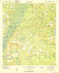
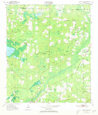
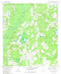
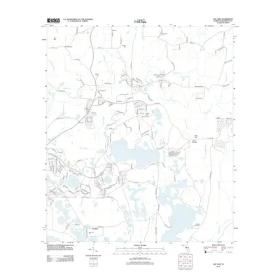
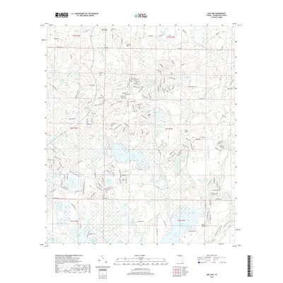
1950 Map of Hinsons Cross Roads
USGS Topo · Published 1950About this map
Hinsons Cross Roads serves as a central hub in this mid-century Florida landscape, where the borders of Washington, Holmes, and Walton counties converge. The geography is defined by a dense network of wetlands and swamps, including Yates Swamp and the descriptively named Shaky Joe Swamp. Life in the late 1940s centered around small rural communities and crossroad junctions such as Whitehead Cross Roads and Five Points.
Find a feature on this map
73 named features on this map. Tap any name to fly to it.
Don’t see what you’re looking for? This feature index may not catch every label — zoom into the map to look around manually.
Map Details
Editions of this 1950 Hinsons Cross Roads Map
This is the sole edition of this map. No revisions or reprints were ever made.
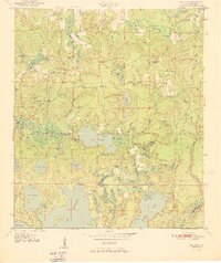
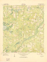
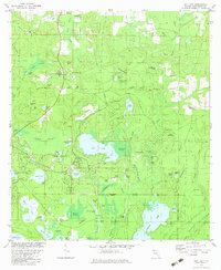
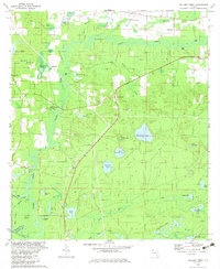
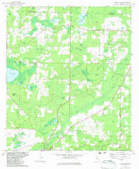
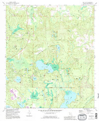
Historical Maps of Westville Through Time
33 maps found

1949 Hinsons Cross Roads
Washington County, FL
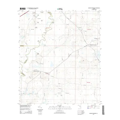
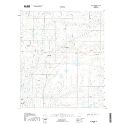
1949 Millers Ferry
Washington County, FL
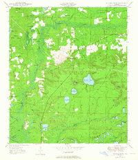
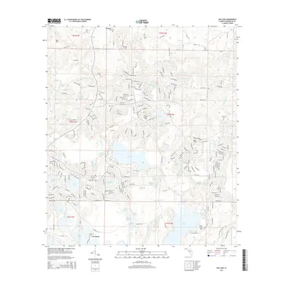
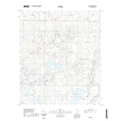
1950 Gap Lake
Washington County, FL
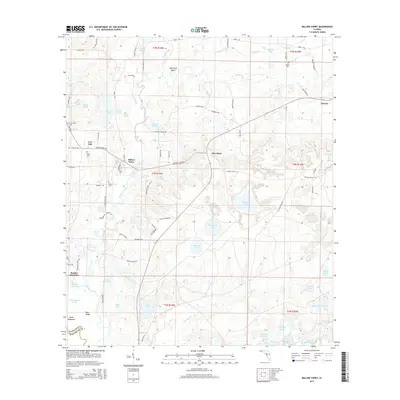
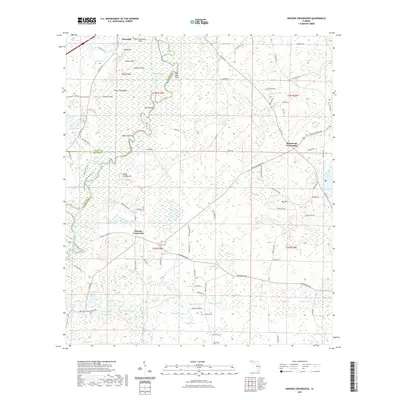
1950 Hinsons Cross Roads
Washington County, FL
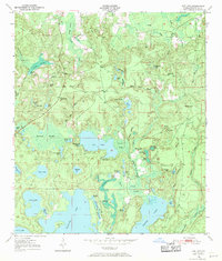
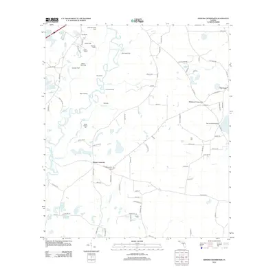
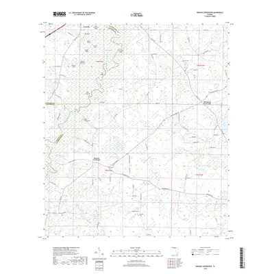
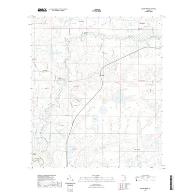
1950 Millers Ferry
Washington County, FL
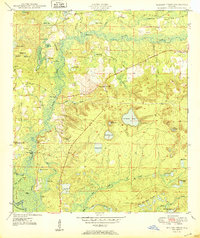
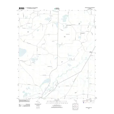
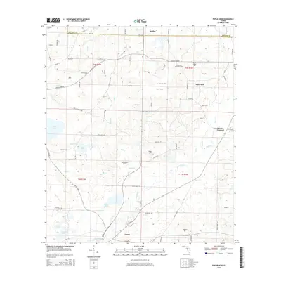
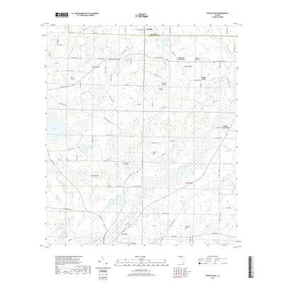
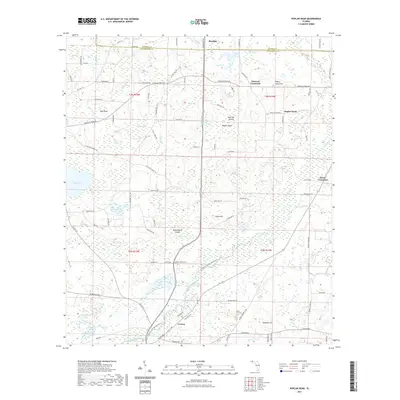
1950 Poplar Head
Washington County, FL
1951 Gap Pond
Washington County, FL
1951 Poplar Head
Washington County, FL
1982 Gap Lake
Washington County, FL
1982 Hinsons Crossroads
Washington County, FL
1982 Millers Ferry
Washington County, FL
1982 Poplar Head
Washington County, FL
1994 Gap Lake
Washington County, FL
2012 Gap Lake
Washington County, FL
2012 Hinsons Crossroads
Washington County, FL
2012 Millers Ferry
Washington County, FL
2012 Poplar Head
Washington County, FL
2015 Gap Lake
Washington County, FL
2015 Hinsons Crossroads
Washington County, FL
2015 Millers Ferry
Washington County, FL
2015 Poplar Head
Washington County, FL
2018 Gap Lake
Washington County, FL
2018 Hinsons Crossroads
Washington County, FL
2018 Millers Ferry
Washington County, FL
2018 Poplar Head
Washington County, FL
2021 Gap Lake
Washington County, FL
2021 Hinsons Crossroads
Washington County, FL
2021 Millers Ferry
Washington County, FL
2021 Poplar Head
Washington County, FL
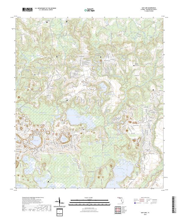
2024 Gap Lake
Washington County, FL
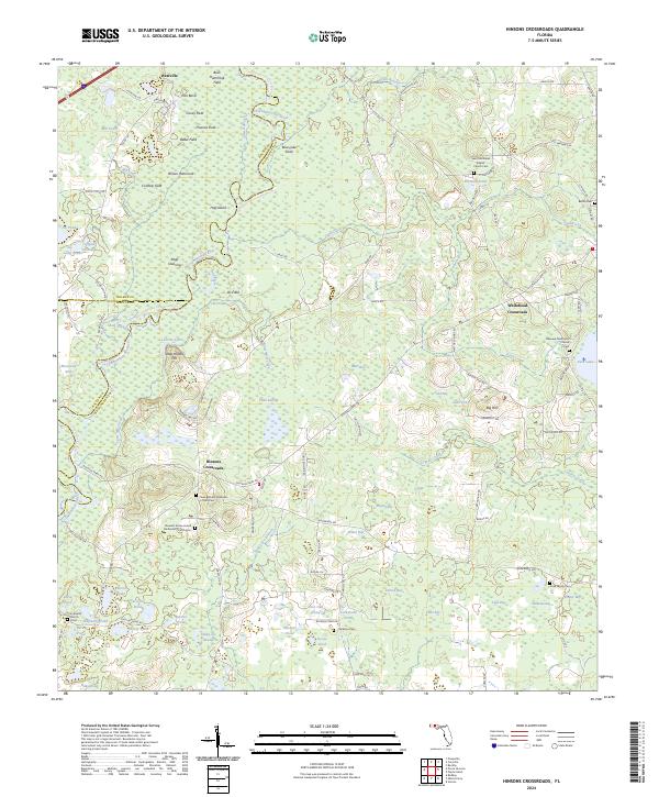
2024 Hinsons Crossroads
Washington County, FL
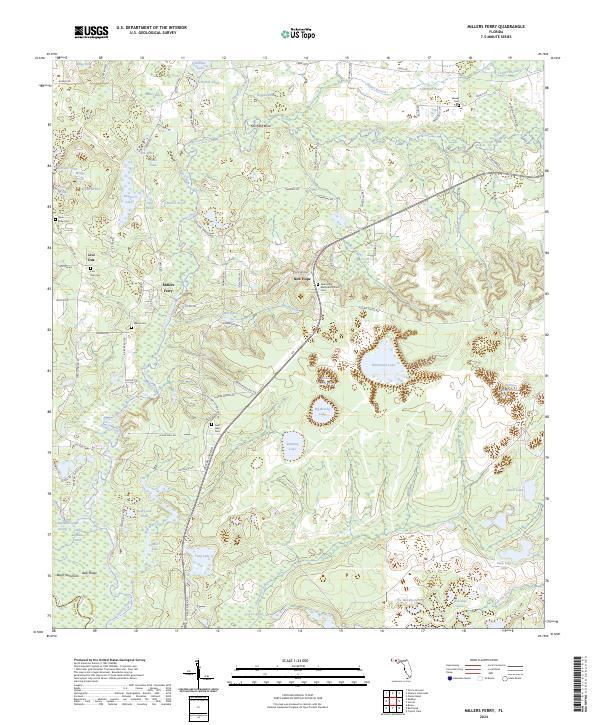
2024 Millers Ferry
Washington County, FL

2024 Poplar Head
Washington County, FL