Old Maps of Crows Bluff, Florida for Metal Detecting
Plan your next treasure hunt with 11 historic maps of Crows Bluff. Find old homesites, ghost towns, trails, and gathering spots that may be lost to time — perfect for identifying promising metal detecting locations.
- Locate forgotten sites: Uncover places like long-lost settlements, abandoned rail lines, or gathering spots.
- Plan better hunts: Use map overlays combined with LiDAR or satellite views to narrow in on historically rich areas.
- Made for detectorists: Thousands of hobbyists use these maps to discover relics, coins, and hidden history.
Use these historic maps to boost your research and find new opportunities beneath the surface of Crows Bluff.
Crows Bluff, FL maps
(11)- 1954 Map of Daytona Beach, 1974 Print
 1954 Daytona Beach1974 Print · USGSNortheast Florida is captured in the mid-1950s, showing the transition from river-based commerce to coastal tourism. Researchers can trace the Florida East Coast rail lines and find historic sites like Castillo de San Marcos Nat Mon and Palatka.
 - 1958 Map of Daytona Beach
 1958 Daytona Beach1958 Print · USGSThe Florida coast and St. Johns River valley are captured in the late 1950s, showing a landscape defined by citrus-belt rail towns and Atlantic shorelines. Genealogists can trace family roots through riverside settlements like Palatka and Welaka or coastal hubs like Daytona Beach.2 unique versions available
 - 1962 Map of Lake Woodruff, 1964 Print
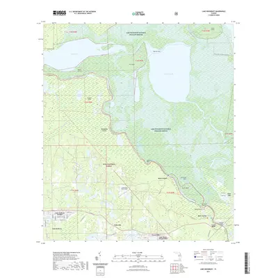
 1962 Lake Woodruff1964 Print · USGSThe Florida wetlands of the early sixties are captured here as the river-and-lake economy shifted toward modern residential growth. Trace old river landings like Bennetts Landing, the settlement at Saint Francis, and the winding path of the St Johns River.3 unique versions available
 - 1964 Map of Daytona Beach
 1964 Daytona Beach1964 Print · USGSCoastal Florida in the mid-1960s shows a fascinating balance between burgeoning beach tourism and the deep interior wilderness of the Ocala National Forest. Researchers can trace the path of the Florida East Coast railway through historic settlements like St. Augustine, Marineland, and Palatka.
 - 1978 Map of Daytona Beach, 1980 Print
 1978 Daytona Beach1980 Print · USGSCoastal development meets the wild Florida interior in the late seventies, spanning from the Atlantic beaches to the St. Johns River. Trace the growth of Daytona Beach or find inland outposts like Salt Springs, De Leon Springs, and the U S Naval Reservation.2 unique versions available
 - 1999 Map of Lake Woodruff, 2001 Print
 1999 Lake Woodruff2001 Print · USGSThe Volusia County wetlands near the St. Johns River are captured here at the close of the twentieth century. Researchers can trace riverfront history through old landings like Shell Landing and Mosquito Grove or the river site at Saint Francis.
 - 2012 Map of Lake Woodruff, 2012 Print
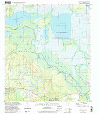
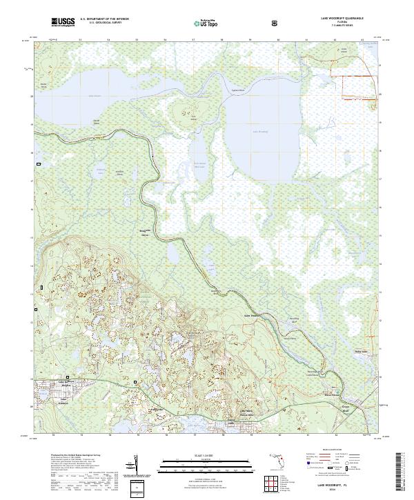
 2012 Lake Woodruff2012 Print · USGSCovers Crows Bluff, including Mosquito Grove, Fullerville, and other nearby areas
 - 2015 Map of Lake Woodruff, 2015 Print
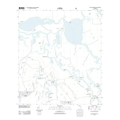
 2015 Lake Woodruff2015 Print · USGSCovers Crows Bluff, including Mosquito Grove, Fullerville, and other nearby areas
 - 2018 Map of Lake Woodruff, 2018 Print
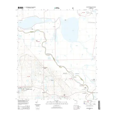
 2018 Lake Woodruff2018 Print · USGSCovers Crows Bluff, including Mosquito Grove, Fullerville, and other nearby areas
 - 2021 Map of Lake Woodruff, 2021 Print
 2021 Lake Woodruff2021 Print · USGSCovers Crows Bluff, including Mosquito Grove, Fullerville, and other nearby areas
 - 2024 Map of Lake Woodruff, 2024 Print
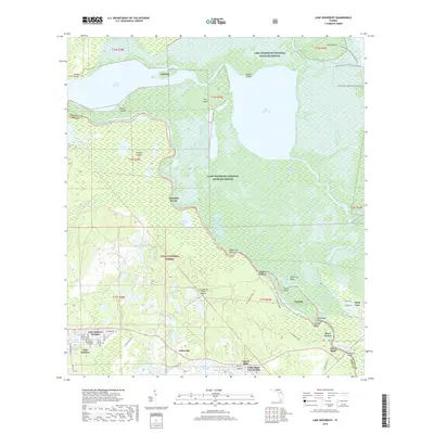
 2024 Lake Woodruff2024 Print · USGSThe St. Johns River corridor comes into sharp focus here, showing the protected wetlands and isolated river settlements of Volusia County. Genealogists and historians can trace the footprints of Saint Francis, Mosquito Grove, and the residential growth near Lake Kathryn.
End of results
Showing maps 1-11 of 11
Top cities near Crows Bluff
- Deltona historical maps
- Daytona Beach historical maps
- Sanford historical maps
- DeLand historical maps
- DeBary historical maps
- Orange City historical maps
See more
Frequently asked questions
- What are the different types of historical maps available for Crows Bluff?
- What is the oldest map of Crows Bluff?
- Where can I purchase historical maps of Crows Bluff for my home or office?
- Where can I download high-res historical maps of Crows Bluff?
- Are there historical topographic maps available for Crows Bluff?
- Is there historical aerial imagery available for Crows Bluff?
- Where are historical maps of Crows Bluff sourced from?