Old Maps of Pierson, Florida
Explore 16 old maps of Pierson, spanning from 1954 to today. These high-resolution historic maps reveal how streets, neighborhoods, landmarks, and natural features evolved over time — perfect for genealogy, metal detecting, research, and local history exploration.
What you can do with these maps:
- See how Pierson changed over time: Compare historical maps to modern-day views to trace roads, homesites, rail lines & more.
- View detailed metadata: Each map includes creators, publishers, year, scale, and archive source.
- Overlay maps with satellite & LiDAR: Visualize the past alongside modern tools to explore terrain & human change.
- Trusted historical sources: Maps sourced from the USGS, Library of Congress, and other archives.
- Access maps your way: View online, download high-res files, or order prints for personal or research use.
Start exploring old maps of Pierson to uncover forgotten places, hidden landmarks, and the deep history beneath your feet.
Pierson, FL maps
(16)- 1954 Map of Daytona Beach, 1974 Print
 1954 Daytona Beach1974 Print · USGSNortheast Florida is captured in the mid-1950s, showing the transition from river-based commerce to coastal tourism. Researchers can trace the Florida East Coast rail lines and find historic sites like Castillo de San Marcos Nat Mon and Palatka.
 - 1958 Map of Daytona Beach
 1958 Daytona Beach1958 Print · USGSThe Florida coast and St. Johns River valley are captured in the late 1950s, showing a landscape defined by citrus-belt rail towns and Atlantic shorelines. Genealogists can trace family roots through riverside settlements like Palatka and Welaka or coastal hubs like Daytona Beach.2 unique versions available
 - 1964 Map of Daytona Beach
 1964 Daytona Beach1964 Print · USGSCoastal Florida in the mid-1960s shows a fascinating balance between burgeoning beach tourism and the deep interior wilderness of the Ocala National Forest. Researchers can trace the path of the Florida East Coast railway through historic settlements like St. Augustine, Marineland, and Palatka.
 - 1970 Map of Seville, 1973 Print
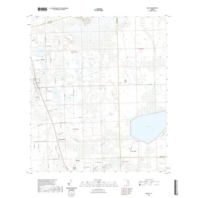
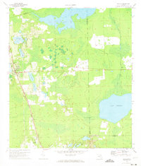 1970 Seville1973 Print · USGSSeville and Pierson appear in the early 1970s as vital rural hubs along the Seaboard Coast Line railroad. You can trace local landmarks like the Lookout Tower near Seville or map the expansive shores of Lake Disston and Saw Grass Bay.3 unique versions available
 - 1970 Map of Pierson, 1973 Print
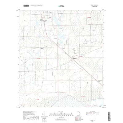
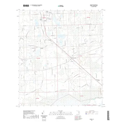
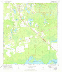 1970 Pierson1973 Print · USGSThe fern-growing capital of Pierson and the surrounding Volusia County wetlands are captured here in the early seventies. Researchers can trace the diagonal path of the Seaboard Coast Line through Barberville or locate family sites at Purdom Cem and Oakdale Cem.2 unique versions available
 - 1978 Map of Daytona Beach, 1980 Print
 1978 Daytona Beach1980 Print · USGSCoastal development meets the wild Florida interior in the late seventies, spanning from the Atlantic beaches to the St. Johns River. Trace the growth of Daytona Beach or find inland outposts like Salt Springs, De Leon Springs, and the U S Naval Reservation.2 unique versions available
 - 2012 Map of Seville, 2012 Print
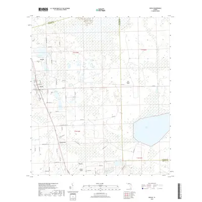
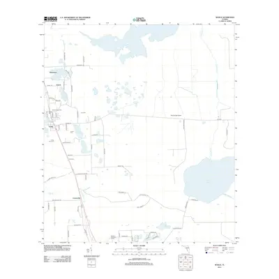 2012 Seville2012 Print · USGSCovers Pierson, including Seville, Senyah, and other nearby areas
 - 2012 Map of Pierson, 2012 Print
 2012 Pierson2012 Print · USGSCovers Pierson, including Emporia, Conrad, and other nearby areas
 - 2015 Map of Pierson, 2015 Print
 2015 Pierson2015 Print · USGSCovers Pierson, including Emporia, Conrad, and other nearby areas
 - 2015 Map of Seville, 2015 Print
 2015 Seville2015 Print · USGSCovers Pierson, including Seville, Senyah, and other nearby areas
 - 2018 Map of Seville, 2018 Print
 2018 Seville2018 Print · USGSCovers Pierson, including Seville, Senyah, and other nearby areas
 - 2018 Map of Pierson, 2018 Print
 2018 Pierson2018 Print · USGSCovers Pierson, including Emporia, Conrad, and other nearby areas
 - 2021 Map of Pierson, 2021 Print
 2021 Pierson2021 Print · USGSCovers Pierson, including Emporia, Conrad, and other nearby areas
 - 2021 Map of Seville, 2021 Print
 2021 Seville2021 Print · USGSCovers Pierson, including Seville, Senyah, and other nearby areas
 - 2024 Map of Pierson, 2024 Print
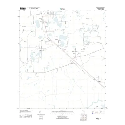
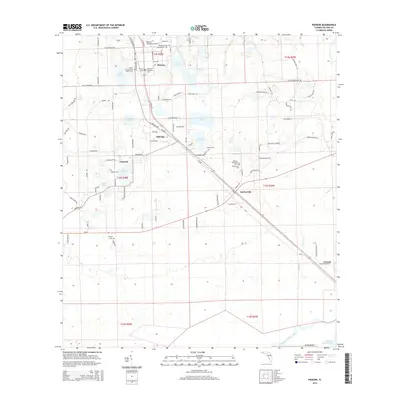
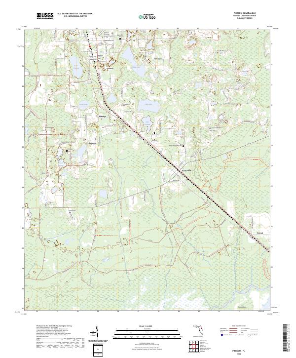 2024 Pierson2024 Print · USGSThis Volusia County landscape at the start of the 2020s shows the enduring rail-and-road settlements of the interior Florida flatwoods. Genealogists and historians can trace local lineages at Mount Zion Primitive Baptist Cem, Purdom Cem, and the community at Barberville.
 - 2024 Map of Seville, 2024 Print
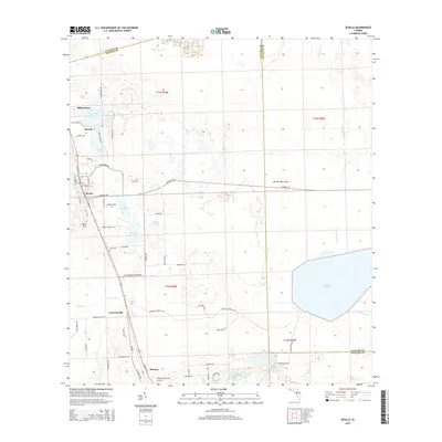
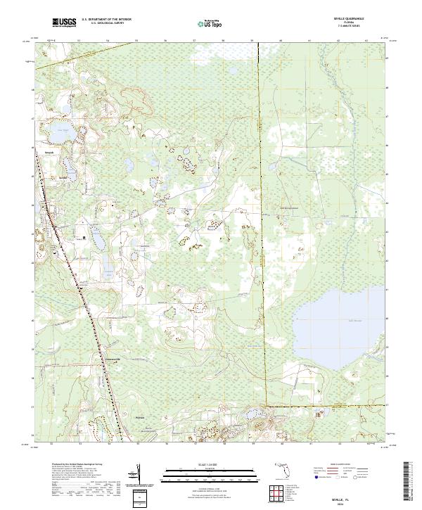 2024 Seville2024 Print · USGSThe northwest corner of Volusia County comes into focus in this contemporary survey of citrus and cypress country. Genealogists and researchers can locate several family burial grounds including Seville Cem and Harris Cem alongside the waters of Lake Disston.
End of results
Showing maps 1-16 of 16
Top cities near Pierson
- Palm Coast historical maps
- DeLand historical maps
- Bunnell historical maps
- De Leon Springs historical maps
- Crescent City historical maps
- Welaka historical maps
See more
Frequently asked questions
- What are the different types of historical maps available for Pierson?
- What is the oldest map of Pierson?
- Where can I purchase historical maps of Pierson for my home or office?
- Where can I download high-res historical maps of Pierson?
- Are there historical topographic maps available for Pierson?
- Is there historical aerial imagery available for Pierson?
- Where are historical maps of Pierson sourced from?