2000s (21st Century) Maps of Pierson, Florida
Explore 10 historic maps of Pierson from the 2000s (21st Century). These maps offer a rare glimpse into what life looked like during the 2000s — showing old roads, neighborhoods, homes, and landmarks that have changed or disappeared over time.
Whether you're researching your family's past, planning a metal detecting trip, or studying how Pierson's landscape evolved across the 2000s, these high-resolution maps are a powerful tool for exploring the history of this region.
- Focus on a specific era: All maps on this page are from the 2000s, giving you a focused view of this time period.
- See what’s changed: Compare century-old streets, trails, and buildings to today's modern landscape using overlays and satellite layers.
- Research with precision: Use these maps for genealogy, historical research, land use analysis, or educational projects.
- View, download, or print: Maps are fully viewable online in high resolution, and can be downloaded or printed for your own records.
Start exploring Pierson's history through authentic maps from the 2000s. This is your window into the past.
Pierson, FL maps
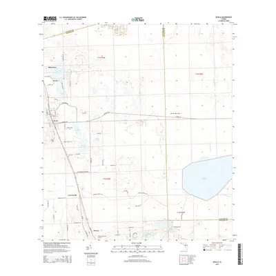
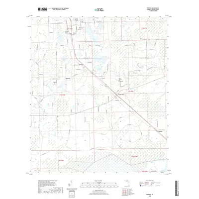
(10)- 2012 Map of Seville, 2012 Print
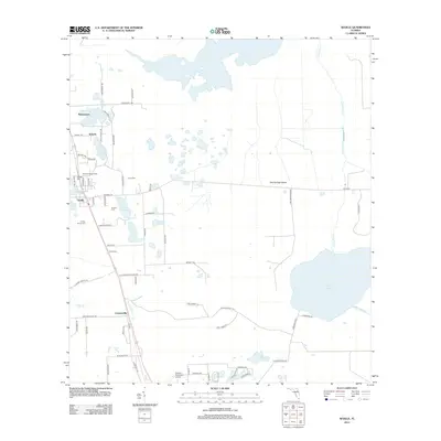 2012 Seville2012 Print · USGSCovers Pierson, including Seville, Senyah, and other nearby areas
 - 2012 Map of Pierson, 2012 Print
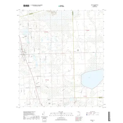
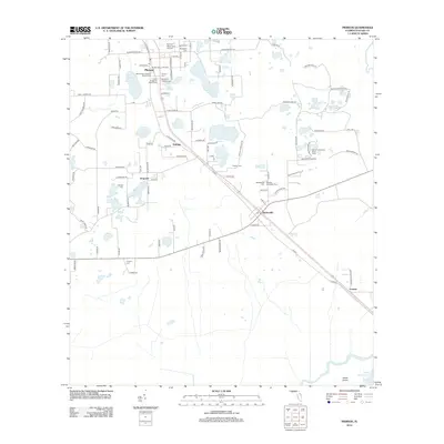 2012 Pierson2012 Print · USGSCovers Pierson, including Emporia, Conrad, and other nearby areas
 - 2015 Map of Pierson, 2015 Print
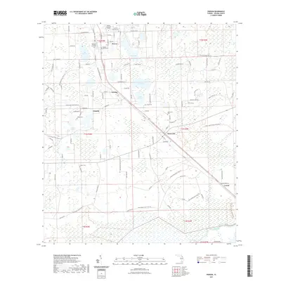
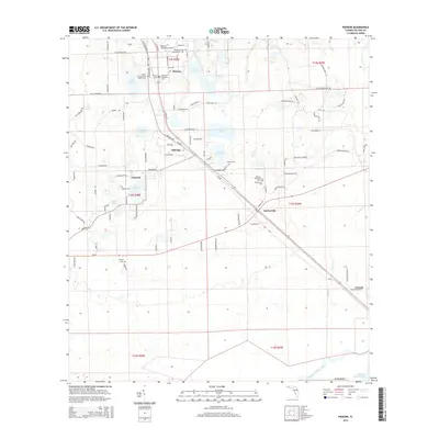 2015 Pierson2015 Print · USGSCovers Pierson, including Emporia, Conrad, and other nearby areas
 - 2015 Map of Seville, 2015 Print
 2015 Seville2015 Print · USGSCovers Pierson, including Seville, Senyah, and other nearby areas
 - 2018 Map of Seville, 2018 Print
 2018 Seville2018 Print · USGSCovers Pierson, including Seville, Senyah, and other nearby areas
 - 2018 Map of Pierson, 2018 Print
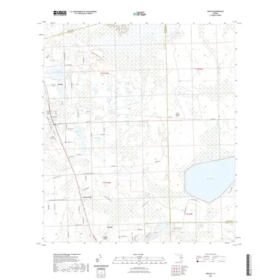
 2018 Pierson2018 Print · USGSCovers Pierson, including Emporia, Conrad, and other nearby areas
 - 2021 Map of Pierson, 2021 Print
 2021 Pierson2021 Print · USGSCovers Pierson, including Emporia, Conrad, and other nearby areas
 - 2021 Map of Seville, 2021 Print
 2021 Seville2021 Print · USGSCovers Pierson, including Seville, Senyah, and other nearby areas
 - 2024 Map of Pierson, 2024 Print
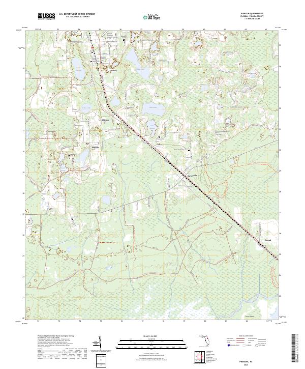 2024 Pierson2024 Print · USGSThis Volusia County landscape at the start of the 2020s shows the enduring rail-and-road settlements of the interior Florida flatwoods. Genealogists and historians can trace local lineages at Mount Zion Primitive Baptist Cem, Purdom Cem, and the community at Barberville.
 - 2024 Map of Seville, 2024 Print
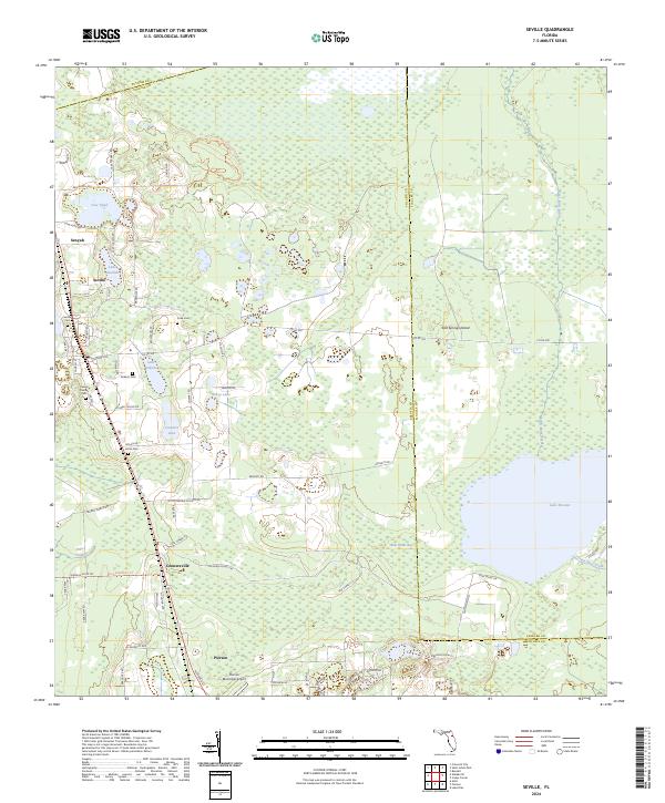 2024 Seville2024 Print · USGSThe northwest corner of Volusia County comes into focus in this contemporary survey of citrus and cypress country. Genealogists and researchers can locate several family burial grounds including Seville Cem and Harris Cem alongside the waters of Lake Disston.
End of results
Showing maps 1-10 of 10
Top cities near Pierson
- Palm Coast historical maps
- DeLand historical maps
- Bunnell historical maps
- De Leon Springs historical maps
- Crescent City historical maps
- Welaka historical maps
See more
Frequently asked questions
- What are the different types of historical maps available for Pierson?
- What is the oldest map of Pierson?
- Where can I purchase historical maps of Pierson for my home or office?
- Where can I download high-res historical maps of Pierson?
- Are there historical topographic maps available for Pierson?
- Is there historical aerial imagery available for Pierson?
- Where are historical maps of Pierson sourced from?