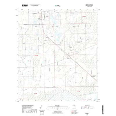
2018 Map of Pierson
USGS Topo · Published 2018About this map
Pierson sits at the heart of this North Volusia County corridor, where the local economy has long been defined by its agricultural character and proximity to the region's fern industry. This modern survey illustrates the settlement patterns of established communities like Barberville, Emporia, and Eldridge along the central transport spine. The landscape is characterized by numerous interior lakes, including Lake Pierson, Shaw Lake, and Lake Purdom, which break up the wooded terrain and dictated early road layouts such as North Rd and Turner Rd.
Find a feature on this map
110 named features on this map. Tap any name to fly to it.
Don’t see what you’re looking for? This feature index may not catch every label — zoom into the map to look around manually.
Map Details
Editions of this 2018 Pierson Map
This is the sole edition of this map. No revisions or reprints were ever made.
Other maps of this area

1954 · Daytona Beach
USGS Topo · 1:250,000

1958 · Daytona Beach
USGS Topo · 1:250,000

1962 · Lake Woodruff
USGS Topo · 1:24,000

1964 · Daytona Beach
USGS Topo · 1:250,000
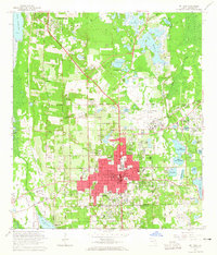
1964 · De Land
USGS Topo · 1:24,000

1970 · Welaka SE
USGS Topo · 1:24,000

1970 · Seville
USGS Topo · 1:24,000

1970 · Pierson
USGS Topo · 1:24,000
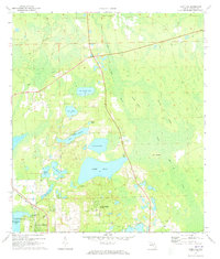
1971 · Lake Dias
USGS Topo · 1:24,000
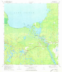
1972 · Astor
USGS Topo · 1:24,000