
1970 Map of Welaka SE
USGS Topo · Published 1972About this map
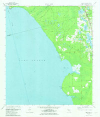
Lake George dominates this 1970 landscape, where the wide waters meet the intricate wetlands of Volusia and Putnam counties. The eastern shore is characterized by a series of landings and points, reflecting a river-based economy and transportation network along the St Johns River. To the north, Barrs Landing and Pine Island Landing provide access points to the water, while the southern reach is defined by the prominent Ninemile Point and Deadman Landing. Inland, the terrain is a mosaic of small lakes and ponds, including Silver Pond, Upper Lake Louise, and Lower Lake Louise. The presence of the Seaboard Coast Line railroad running parallel to the coast further indicates the importance of this corridor for regional transit during the early 1970s. This survey, compiled from 1969 aerial photography, captures the shoreline and drainage patterns before modern development altered much of the local hydrology.
Find a feature on this map
25 named features on this map. Tap any name to fly to it.
Don’t see what you’re looking for? This feature index may not catch every label — zoom into the map to look around manually.
Map Details
Editions of this 1970 Welaka SE Map
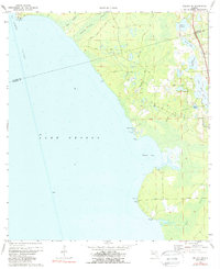
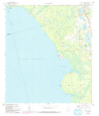
4 editions found
Other maps of this area

1954 · Daytona Beach
USGS Topo · 1:250,000

1958 · Daytona Beach
USGS Topo · 1:250,000

1964 · Daytona Beach
USGS Topo · 1:250,000

1970 · Crescent City
USGS Topo · 1:24,000

1970 · Welaka
USGS Topo · 1:24,000

1970 · Seville
USGS Topo · 1:24,000

1970 · Salt Springs
USGS Topo · 1:24,000

1970 · Pierson
USGS Topo · 1:24,000

1972 · Juniper Springs
USGS Topo · 1:24,000
1972 · St. Johns Park
USGS Topo · 1:24,000