
1970 Map of Crescent City
USGS Topo · Published 1972About this map
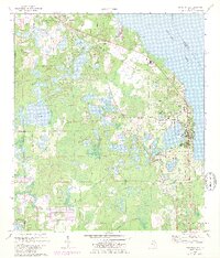
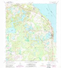
Crescent Lake dominates the eastern landscape of this Putnam County region, where the town of Crescent City sits along a narrow strip of land between the large lake and Lake Stella. The 1970 landscape is defined by its citrus-belt geography and intricate water systems, including Lake Como, Lake Margaret, and Silver Lake. The Seaboard Coast Line railroad runs north-to-south, anchoring settlements like Pomona Park and Huntington, and serving the Crescent City Station.
Find a feature on this map
37 named features on this map. Tap any name to fly to it.
Don’t see what you’re looking for? This feature index may not catch every label — zoom into the map to look around manually.
Map Details
Editions of this 1970 Crescent City Map
3 editions found
Other maps of this area

1912 · Palatka
USGS Topo · 1:48,000

1915 · Palatka
USGS Topo · 1:62,500

1937 · Dinner Island
USGS Topo · 1:48,000

1943 · Dinner Island
USGS Topo · 1:62,500

1944 · Dinner Island
USGS Topo · 1:62,500

1954 · Daytona Beach
USGS Topo · 1:250,000

1958 · Daytona Beach
USGS Topo · 1:250,000

1964 · Daytona Beach
USGS Topo · 1:250,000
1968 · Satsuma
USGS Topo · 1:24,000
1968 · San Mateo
USGS Topo · 1:24,000