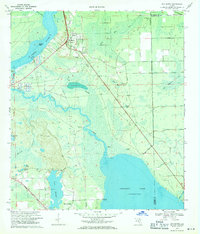
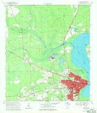
1968 Map of San Mateo
USGS Topo · Published 1971About this map
San Mateo and the surrounding riverfront of the late 1960s define this landscape where the St Johns River meets the winding course of Dunns Creek. The map documents a critical transition in Florida's water management history, showing a Proposed Canal north of the river and several landings along the creek, including Piney Bluff Landing and Moccasin Landing. These features, alongside the expansive Crescent Lake to the south, highlight the region's reliance on both natural waterways and engineered drainage projects.
Find a feature on this map
36 named features on this map. Tap any name to fly to it.
Don’t see what you’re looking for? This feature index may not catch every label — zoom into the map to look around manually.
Map Details
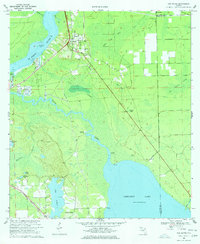
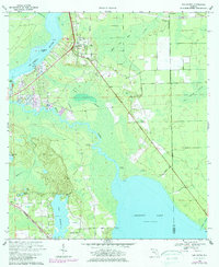
Editions of this 1968 San Mateo Map
3 editions found
Other maps of this area

1912 · Palatka
USGS Topo · 1:48,000

1915 · Palatka
USGS Topo · 1:62,500

1937 · Dinner Island
USGS Topo · 1:48,000

1943 · Dinner Island
USGS Topo · 1:62,500

1944 · Dinner Island
USGS Topo · 1:62,500

1954 · Daytona Beach
USGS Topo · 1:250,000

1958 · Daytona Beach
USGS Topo · 1:250,000

1964 · Daytona Beach
USGS Topo · 1:250,000
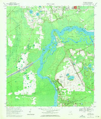
1968 · Satsuma
USGS Topo · 1:24,000
1968 · Palatka
USGS Topo · 1:24,000