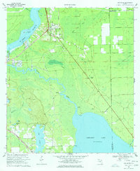
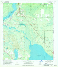
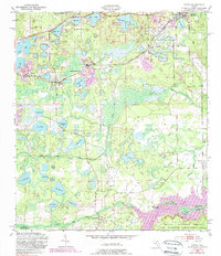
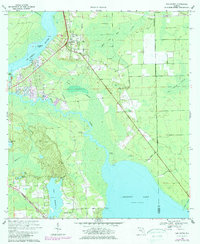
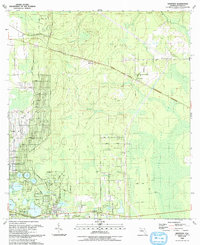
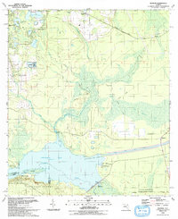
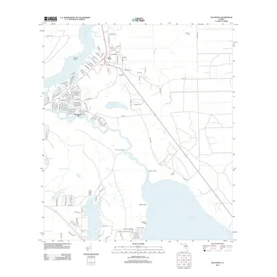
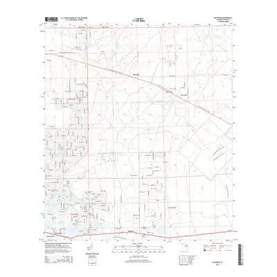
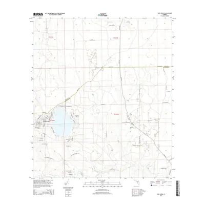
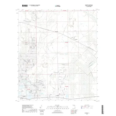
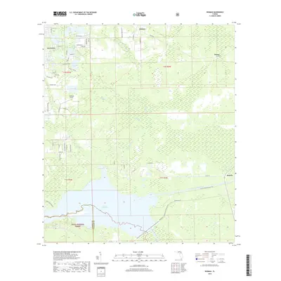
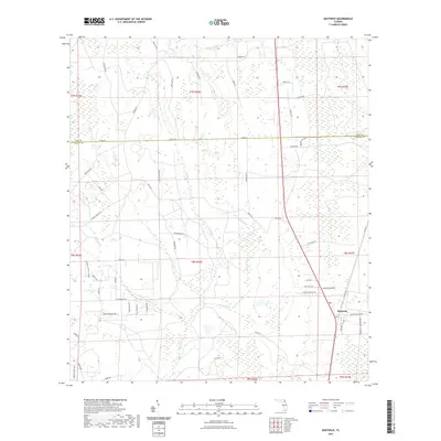
1968 Map of San Mateo
USGS Topo · Published 1977About this map
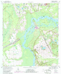
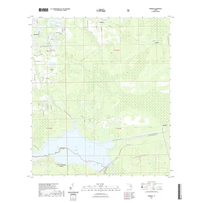
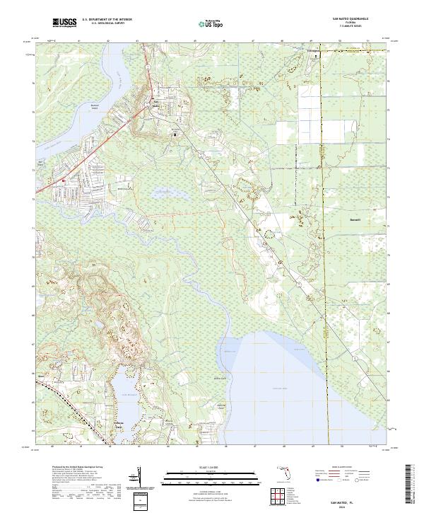
The St Johns River and Dunns Creek define this riverine corridor of Putnam County, where water-based transportation and early rail lines converged in the late 1960s. The settlement of San Mateo sits prominently near the river bend, featuring the San Mateo Cemetery, Mt Tabor Church, and a landmark lookout tower. Further south, the landscape transitions from the dense Long Swamp into the residential layout of Pomona Park along the shores of Lake Broward.
Find a feature on this map
36 named features on this map. Tap any name to fly to it.
Don’t see what you’re looking for? This feature index may not catch every label — zoom into the map to look around manually.
Map Details
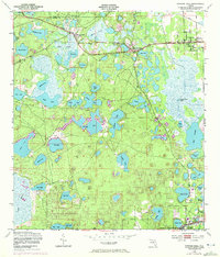
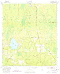
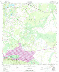
Editions of this 1968 San Mateo Map
3 editions found
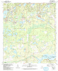
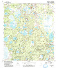
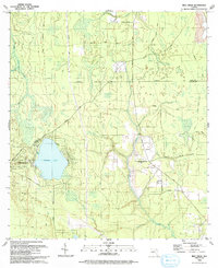
Historical Maps of Bunnell Through Time
55 maps found
1949 Baywood
Putnam County, FL
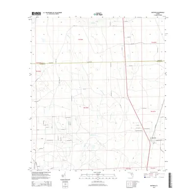
1949 Bostwick
Putnam County, FL
1949 Keuka
Putnam County, FL
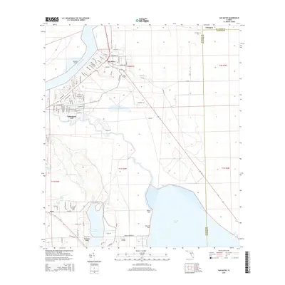
1949 Putnam Hall
Putnam County, FL
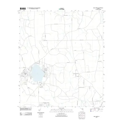
1949 Rice Creek
Putnam County, FL
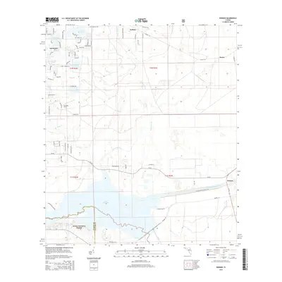
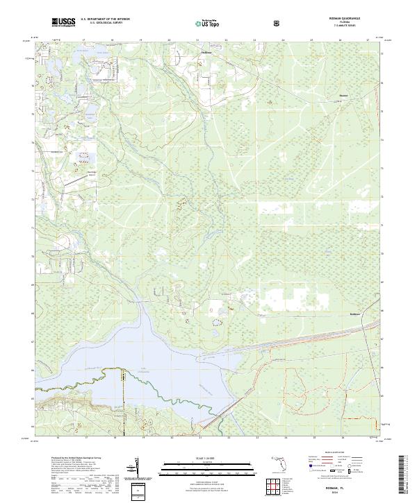
1949 Rodman
Putnam County, FL
1968 San Mateo
Putnam County, FL
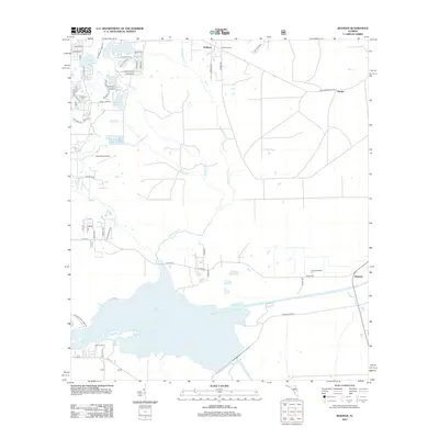
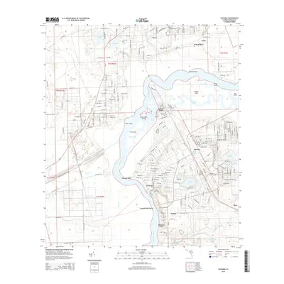
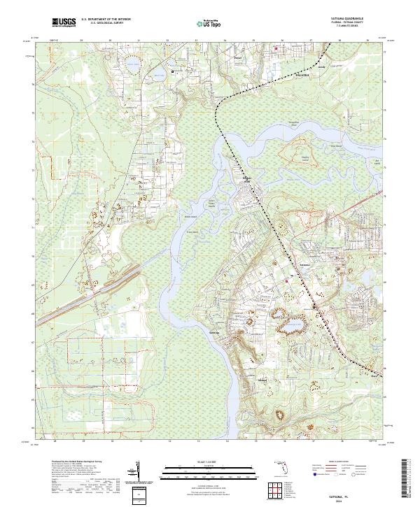
1968 Satsuma
Putnam County, FL
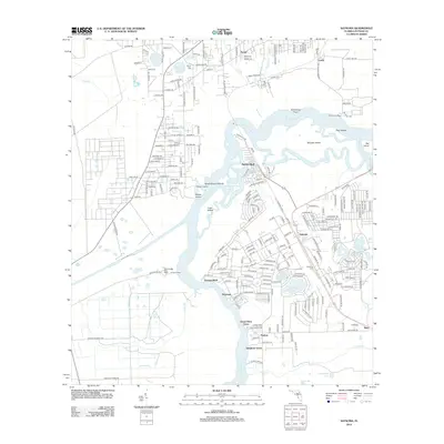
1981 Saint Augustine
Putnam County, FL
1991 Bostwick
Putnam County, FL
1993 Baywood
Putnam County, FL
1993 Keuka
Putnam County, FL
1993 Putnam Hall
Putnam County, FL
1993 Rice Creek
Putnam County, FL
1993 Rodman
Putnam County, FL
2012 Baywood
Putnam County, FL

2012 Bostwick
Putnam County, FL
2012 Keuka
Putnam County, FL
2012 Putnam Hall
Putnam County, FL
2012 Rice Creek
Putnam County, FL
2012 Rodman
Putnam County, FL
2012 San Mateo
Putnam County, FL
2012 Satsuma
Putnam County, FL
2015 Baywood
Putnam County, FL
2015 Bostwick
Putnam County, FL
2015 Keuka
Putnam County, FL
2015 Putnam Hall
Putnam County, FL
2015 Rice Creek
Putnam County, FL
2015 Rodman
Putnam County, FL
2015 San Mateo
Putnam County, FL
2015 Satsuma
Putnam County, FL
2018 Baywood
Putnam County, FL

2018 Bostwick
Putnam County, FL
2018 Keuka
Putnam County, FL
2018 Putnam Hall
Putnam County, FL
2018 Rice Creek
Putnam County, FL
2018 Rodman
Putnam County, FL
2018 San Mateo
Putnam County, FL
2018 Satsuma
Putnam County, FL
2021 Baywood
Putnam County, FL
2021 Bostwick
Putnam County, FL
2021 Keuka
Putnam County, FL
2021 Putnam Hall
Putnam County, FL
2021 Rice Creek
Putnam County, FL
2021 Rodman
Putnam County, FL
2021 San Mateo
Putnam County, FL
2021 Satsuma
Putnam County, FL
2024 Baywood
Putnam County, FL
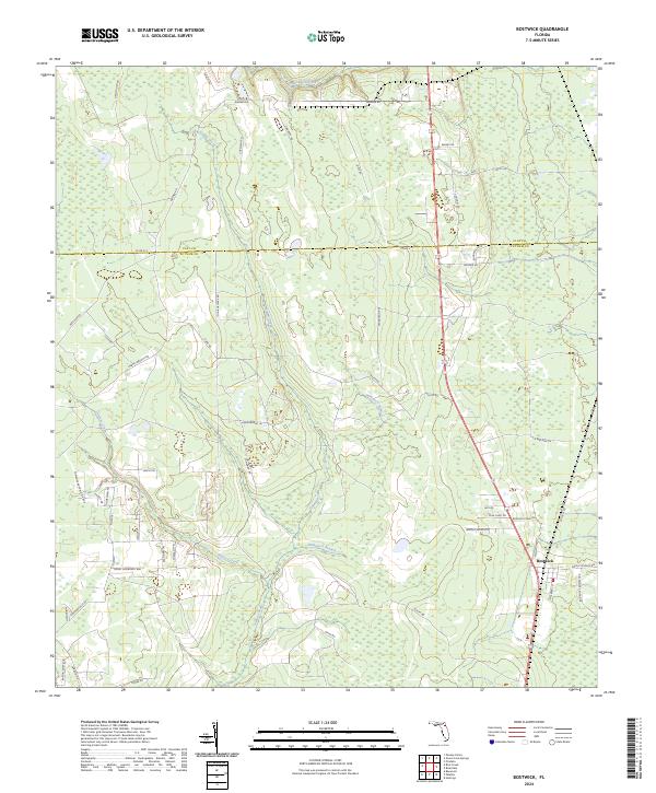
2024 Bostwick
Putnam County, FL
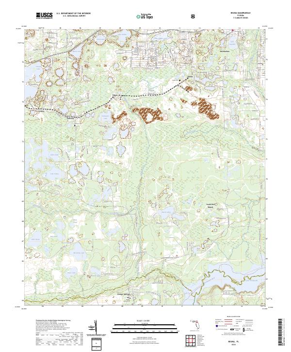
2024 Keuka
Putnam County, FL
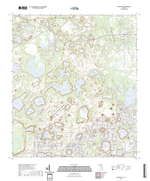
2024 Putnam Hall
Putnam County, FL
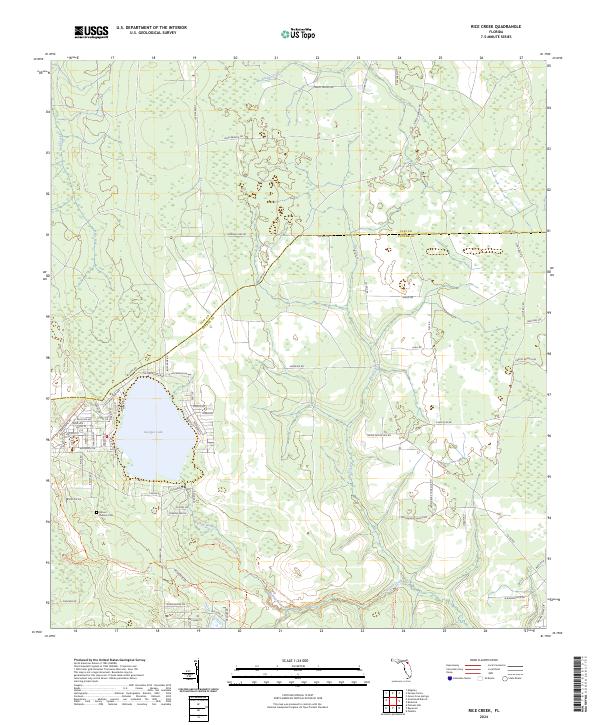
2024 Rice Creek
Putnam County, FL
2024 Rodman
Putnam County, FL
2024 San Mateo
Putnam County, FL
2024 Satsuma
Putnam County, FL