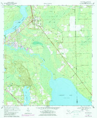
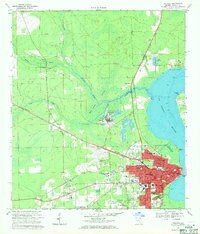
1968 Map of San Mateo
USGS Topo · Published 1981About this map
St Johns River and Crescent Lake define the hydrologic character of this Putnam County landscape, connected by the winding course of Dunns Creek. The settlement of San Mateo occupies the high ground near the river bend, marked by local landmarks like Mt Tabor Ch and the San Mateo Cem. Further south, the Seaboard Coast Line railroad cuts through the terrain, serving smaller communities such as Sisco and Pomona Park.
Find a feature on this map
34 named features on this map. Tap any name to fly to it.
Don’t see what you’re looking for? This feature index may not catch every label — zoom into the map to look around manually.
Map Details
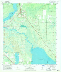
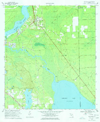
Editions of this 1968 San Mateo Map
3 editions found
Other maps of this area

1912 · Palatka
USGS Topo · 1:48,000

1915 · Palatka
USGS Topo · 1:62,500

1937 · Dinner Island
USGS Topo · 1:48,000

1943 · Dinner Island
USGS Topo · 1:62,500

1944 · Dinner Island
USGS Topo · 1:62,500

1954 · Daytona Beach
USGS Topo · 1:250,000

1958 · Daytona Beach
USGS Topo · 1:250,000

1964 · Daytona Beach
USGS Topo · 1:250,000
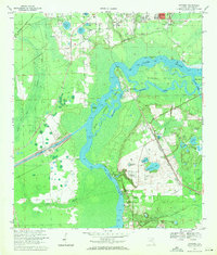
1968 · Satsuma
USGS Topo · 1:24,000
1968 · Palatka
USGS Topo · 1:24,000