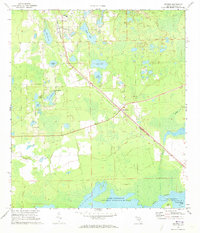
1970 Map of Pierson
USGS Topo · Published 1973About this map
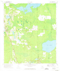
Pierson and the surrounding agricultural landscapes of Volusia County are documented here as they appeared in 1970. This interior region is characterized by a dense network of water bodies, including Lake Pierson, Shaw Lake, and Lake Emporia, which define the local topography. The Seaboard Coast Line railroad serves as the primary industrial corridor, cutting diagonally through the landscape and connecting settlements like Barberville and Emporia.
Find a feature on this map
23 named features on this map. Tap any name to fly to it.
Don’t see what you’re looking for? This feature index may not catch every label — zoom into the map to look around manually.
Map Details
Editions of this 1970 Pierson Map
2 editions found
Other maps of this area

1954 · Daytona Beach
USGS Topo · 1:250,000

1958 · Daytona Beach
USGS Topo · 1:250,000

1962 · Lake Woodruff
USGS Topo · 1:24,000

1964 · Daytona Beach
USGS Topo · 1:250,000
1964 · De Land
USGS Topo · 1:24,000
1970 · Welaka SE
USGS Topo · 1:24,000
1970 · Seville
USGS Topo · 1:24,000
1971 · Lake Dias
USGS Topo · 1:24,000
1972 · Astor
USGS Topo · 1:24,000
1972 · Alexander Springs
USGS Topo · 1:24,000