2010s Maps of Lee County, Florida
Explore 84 historic maps of Lee County from the 2010s. These maps offer a rare glimpse into what life looked like during the 2010s — showing old roads, neighborhoods, homes, and landmarks that have changed or disappeared over time.
Whether you're researching your family's past, planning a metal detecting trip, or studying how Lee County's landscape evolved across the 2010s, these high-resolution maps are a powerful tool for exploring the history of this region.
- Focus on a specific era: All maps on this page are from the 2010s, giving you a focused view of this time period.
- See what’s changed: Compare century-old streets, trails, and buildings to today's modern landscape using overlays and satellite layers.
- Research with precision: Use these maps for genealogy, historical research, land use analysis, or educational projects.
- View, download, or print: Maps are fully viewable online in high resolution, and can be downloaded or printed for your own records.
Start exploring Lee County's history through authentic maps from the 2010s. This is your window into the past.
Lee County, FL maps
(84)- 2012 Map of Placida, 2012 Print
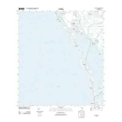 2012 Placida2012 Print · USGSThe barrier islands and planned coastal communities of Charlotte County are captured here during a period of significant residential growth. Genealogists and local historians can trace the development of Boca Grande and Rotonda -West, or locate maritime landmarks like Gasparilla Pass and Coral Creek Airport.
- 2012 Map of Punta Gorda SW, 2012 Print
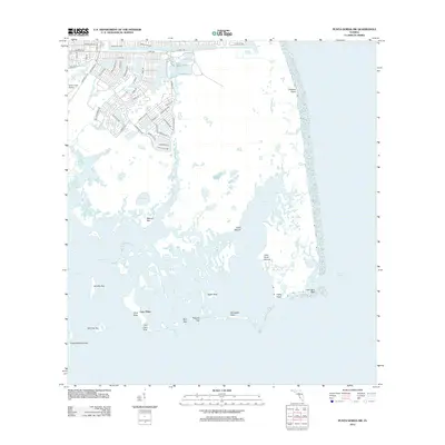 2012 Punta Gorda SW2012 Print · USGSThe Florida coast near Rotonda and Cayo Pelau is shown here in the early twenty-first century, balancing residential growth with protected wetlands. Researchers can trace the layout of island mounds like John Quiet Mound and Cash Mound alongside modern landmarks like the Coral Creek Airport.
- 2012 Map of Corkscrew SW, 2012 Print
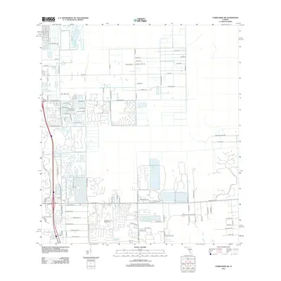 2012 Corkscrew SW2012 Print · USGSInland Lee County at the start of the 2010s shows a landscape of rapid residential growth near the Imperial River. Researchers can trace the development of master-planned communities like Hunters Ridge Blvd and Boca Lago Golf Course.
- 2012 Map of Estero, 2012 Print
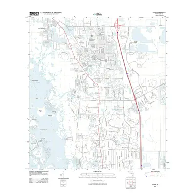 2012 Estero2012 Print · USGSCoastal Lee County is depicted in this 2012 survey as a blend of suburban expansion and intricate mangrove shorelines. Researchers can trace historic sites like the Koreshan Unity Cem or the geography of Mound Key and Stingaree Key along the gulf.
- 2012 Map of Gilchrist, 2012 Print
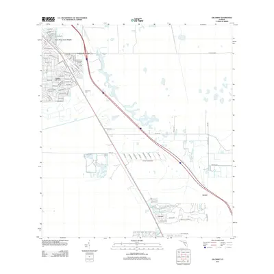 2012 Gilchrist2012 Print · USGSCoastal Florida's suburban expansion is visible here in the early twenty-first century as new residential grids meet the wetlands. Researchers can trace the development of South Punta Gorda Heights and identify landmarks like the Punta Gorda Tower and Lakeville.
- 2012 Map of Fort Myers SW, 2012 Print
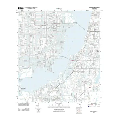 2012 Fort Myers SW2012 Print · USGSCoastal Lee County in the early 2010s reveals a landscape defined by the intricate canal systems of Cape Coral and the wide reach of the Caloosahatchee River. Researchers can trace established neighborhoods like Pine Manor or locate institutional landmarks such as the Edison State College - Lee Campus.
- 2012 Map of Alva, 2012 Print
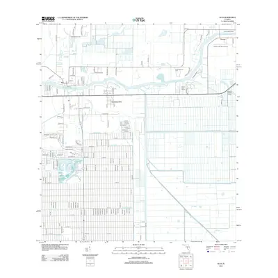 2012 Alva2012 Print · USGSFlorida's riverfront and agricultural heartland are detailed here in the early twenty-first century as the region continued its growth. Genealogists and local researchers can trace family lands near Alva, locate the United Methodist Camp, or map the intricate reach of the West-Easy Canal and Spanish Cr.
- 2012 Map of Fort Myers SE, 2012 Print
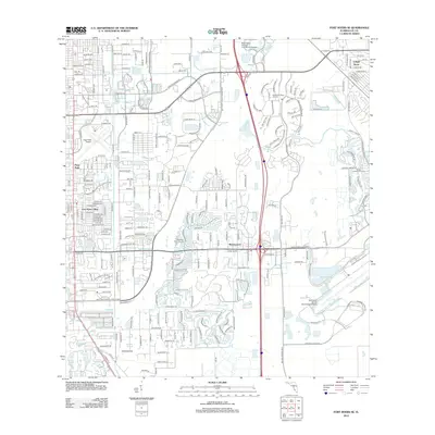 2012 Fort Myers SE2012 Print · USGSThe suburban landscape of Lee County is shown here in the early twenty-first century, as it matured into a hub of aviation and leisure. Researchers can trace the layout of Fort Myers Villas, Page Field Airport, and the Renaissance development.
- 2012 Map of Tuckers Corner, 2012 Print
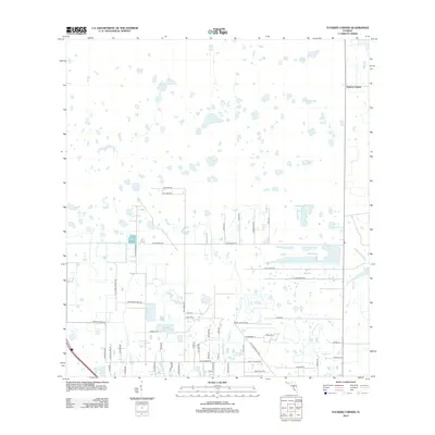 2012 Tuckers Corner2012 Print · USGSCoastal Florida's interior wetlands and rural homesteads are shown here during a period of transition in the early 2000s. Researchers can trace land divisions and local landmarks like Tuckers Corner, Popash Cr, and family names along Huffmaster Rd.
- 2012 Map of Fort Myers NW, 2012 Print
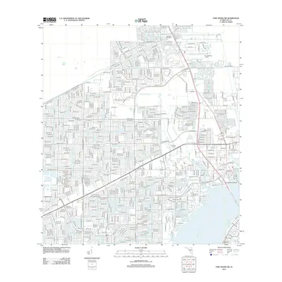 2012 Fort Myers NW2012 Print · USGSThe rapid development of Cape Coral and Lee County is visible in this modern era survey of the Florida coast. Researchers can trace local landmarks like Prospect Cem, the Pine Shadows Airpark, and the Paradise Yacht Club Marina.
- 2012 Map of Telegraph Swamp SE, 2012 Print
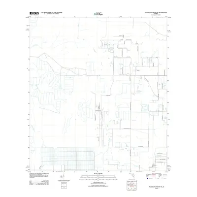 2012 Telegraph Swamp SE2012 Print · USGSThe rural expansion of Lee County is visible in this early 2010s survey, showing a landscape defined by drainage and development. Researchers can trace local landmarks like Fort Denaud Cem, South Point Airport, and the waters of Jacks Lake.
- 2012 Map of Corkscrew, 2012 Print
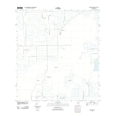 2012 Corkscrew2012 Print · USGSThe Collier County wetlands south of the Caloosahatchee appear here in the early twenty-first century, showing a mix of rural aviation and remote island landforms. Researchers can trace the layout of Corkscrew and find unique landmarks like Corkscrew Trace Airport and Big Corkscrew Island.
- 2012 Map of Olga, 2012 Print
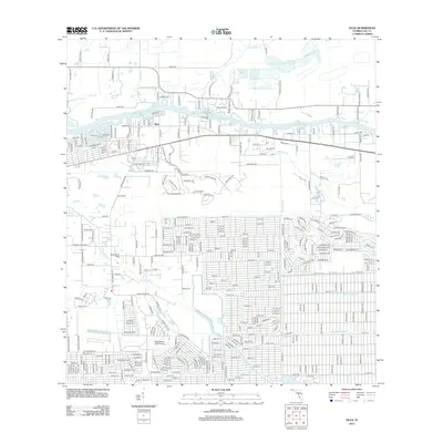 2012 Olga2012 Print · USGSFlorida's inland waterways and residential growth are on full display in this early 21st-century survey of Lee County. Researchers can locate Buckingham Field Airport, trace the Caloosahatchee River shoreline, and find family history at Buckingham Cem.
- 2012 Map of Alva SW, 2012 Print
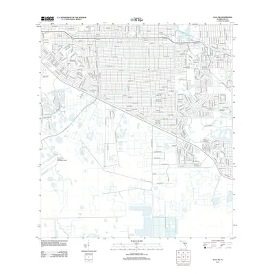 2012 Alva SW2012 Print · USGSLehigh Acres during the early twenty-first century exhibits a highly organized residential grid defined by its drainage and recreation. Trace local family plots at Lee Memorial Garden Cem or locate the sprawling Lauderhills Golf Course and Able Canal.
- 2012 Map of Bonita Springs, 2012 Print
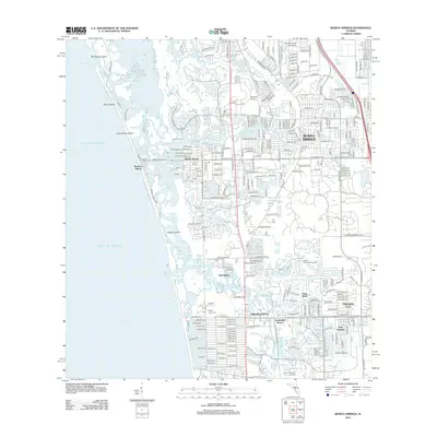 2012 Bonita Springs2012 Print · USGSBonita Springs and the Lee County coast are shown here at a peak of modern residential development. Researchers can trace neighborhood growth through Palm River Shores, locate local landmarks like Crest Lawn Cem, and follow the Imperial River to the Gulf.
- 2012 Map of Alva SE, 2012 Print
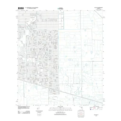 2012 Alva SE2012 Print · USGSResidential development expands into the Florida interior during the early twenty-first century. Genealogists and researchers can trace local infrastructure through the Corkscrew Lookout Tower, Able Canal, and numerous named streets like Golfside Village Dr.
- 2012 Map of Port Boca Grande, 2012 Print
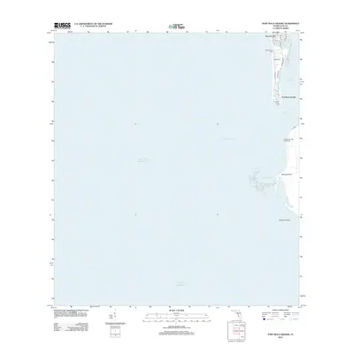 2012 Port Boca Grande2012 Print · USGSBoca Grande's southern tip was a hub of maritime navigation and island life in the early 2010s. Trace the coastal infrastructure and neighborhood layouts along Boca Bay Dr near the historic Boca Grande Light and Port Boca Grande.
- 2012 Map of Captiva, 2012 Print
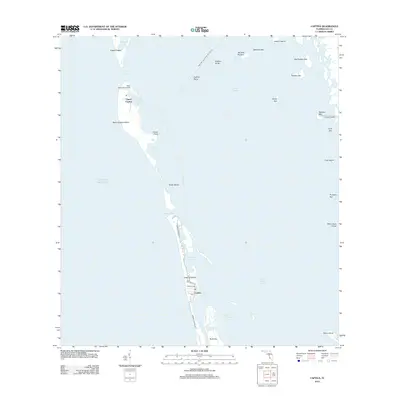 2012 Captiva2012 Print · USGSCoastal Florida in the early twenty-first century reveals a landscape of shifting barrier islands and intricate waterways between the Gulf and Pine Island Sound. Researchers can trace land development along S Seas Plantation Rd or locate remote spots like Salty Approach Airport and Demere Landing.
- 2012 Map of Wulfert, 2012 Print
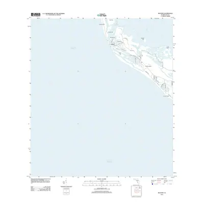 2012 Wulfert2012 Print · USGSSanibel and Captiva Islands are shown in great detail during the early 2010s, separated by the famous Blind Pass inlet. Researchers can trace the residential growth around Wulfert and locate coastal landmarks like Buck Key and Sanibel Rocks.
- 2012 Map of Pine Island Center, 2012 Print
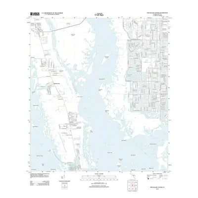 2012 Pine Island Center2012 Print · USGSPine Island and the waters of Lee County are shown during a period of significant coastal growth and development. Researchers can trace the layout of island communities like Flamingo Bay and locate local landmarks such as Woodstock Airport and Masters Landing.
- 2012 Map of Punta Gorda SE, 2012 Print
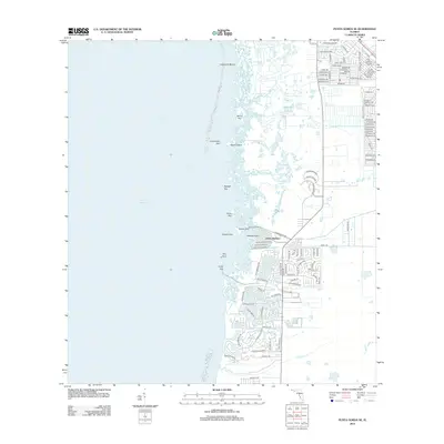 2012 Punta Gorda SE2012 Print · USGSThe Florida gulf coast meets suburban development in this 2012 survey of the Cape Coral and Pirate Harbor vicinity. Researchers can trace modern street networks and their intersection with coastal landmarks like Cockroach Mound and John Quiet Lakes.
- 2012 Map of Matlacha, 2012 Print
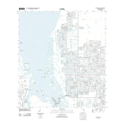 2012 Matlacha2012 Print · USGSCape Coral and the surrounding Florida keys appear in this modern era as a complex web of canal-front developments and coastal mangroves. Researchers can trace the expansion of Matlacha Isles or locate landmarks like the Pine Island Lookout Tower and Indian Field.
- 2012 Map of Sanibel, 2012 Print
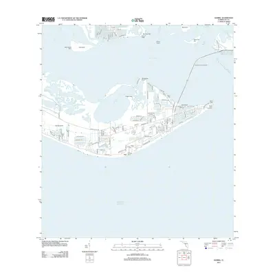 2012 Sanibel2012 Print · USGSSanibel Island in the early twenty-first century reveals a developed landscape deeply integrated with its coastal environment. Researchers can trace local landmarks like the Sanibel Island Lighthouse, Sanibel Cem, and the beach community at Dixie Beach.
- 2012 Map of Bokeelia, 2012 Print
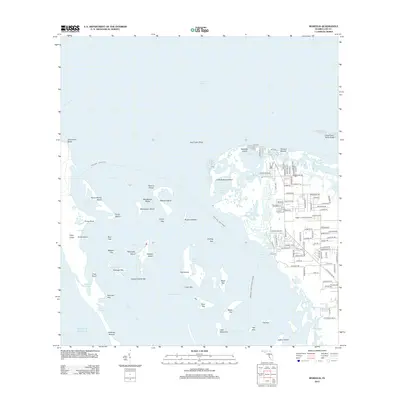 2012 Bokeelia2012 Print · USGSBokeelia and the northern reaches of Pine Island are captured in the early twenty-first century, showing a community defined by its intricate shoreline and island neighbors. Researchers can trace land development near Howard Mound or locate remote outposts like Eagle's Landing Airport and Cabbage Key.
- 2012 Map of Fort Myers Beach, 2012 Print
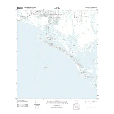 2012 Fort Myers Beach2012 Print · USGSThe Lee County coastline at the start of the 2010s shows a landscape defined by barrier island development and intricate tidal waterways. Local historians can trace the evolution of Fort Myers Beach and San Carlos Island, or locate specific landmarks like Bodwitch Point and Lovers Key.
Showing maps 1-25 of 84
Top cities of Lee County
- Cape Coral historical maps
- Lehigh Acres historical maps
- Fort Myers historical maps
- North Fort Myers historical maps
- Bonita Springs historical maps
- Fort Myers Beach historical maps
See more
Frequently asked questions
- What are the different types of historical maps available for Lee County?
- What is the oldest map of Lee County?
- Where can I purchase historical maps of Lee County for my home or office?
- Where can I download high-res historical maps of Lee County?
- Are there historical topographic maps available for Lee County?
- Is there historical aerial imagery available for Lee County?
- Where are historical maps of Lee County sourced from?