2000s (21st Century) Maps of Alva, Florida
Explore 15 historic maps of Alva from the 2000s (21st Century). These maps offer a rare glimpse into what life looked like during the 2000s — showing old roads, neighborhoods, homes, and landmarks that have changed or disappeared over time.
Whether you're researching your family's past, planning a metal detecting trip, or studying how Alva's landscape evolved across the 2000s, these high-resolution maps are a powerful tool for exploring the history of this region.
- Focus on a specific era: All maps on this page are from the 2000s, giving you a focused view of this time period.
- See what’s changed: Compare century-old streets, trails, and buildings to today's modern landscape using overlays and satellite layers.
- Research with precision: Use these maps for genealogy, historical research, land use analysis, or educational projects.
- View, download, or print: Maps are fully viewable online in high resolution, and can be downloaded or printed for your own records.
Start exploring Alva's history through authentic maps from the 2000s. This is your window into the past.
Alva, FL maps
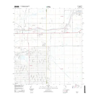
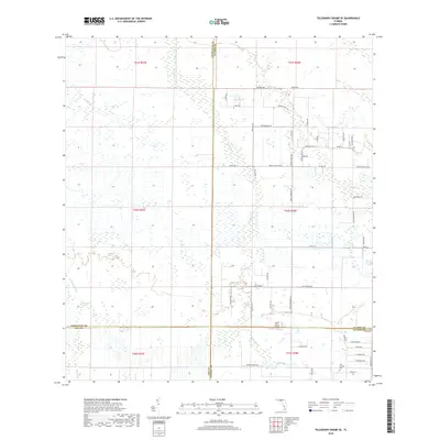
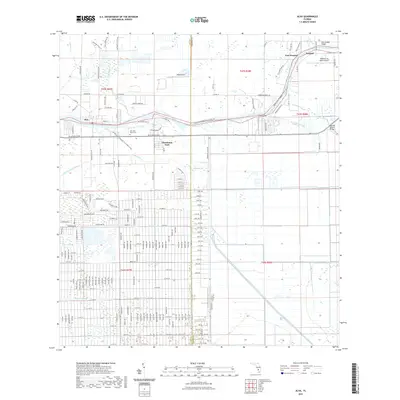
(15)- 2012 Map of Alva, 2012 Print
 2012 Alva2012 Print · USGSCovers Alva, including Denaud, Caloosa Preserve, and other nearby areas
 - 2012 Map of Telegraph Swamp SE, 2012 Print
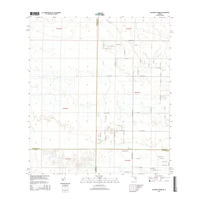
 2012 Telegraph Swamp SE2012 Print · USGSCovers Alva, including Lee County, Charlotte County, and other nearby areas
 - 2012 Map of Olga, 2012 Print
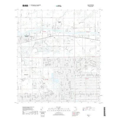
 2012 Olga2012 Print · USGSCovers Alva, including Fort Myers Shores, Olga, and other nearby areas
 - 2015 Map of Olga, 2015 Print
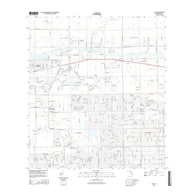 2015 Olga2015 Print · USGSCovers Alva, including Fort Myers Shores, Olga, and other nearby areas
 - 2015 Map of Alva, 2015 Print
 2015 Alva2015 Print · USGSCovers Alva, including Denaud, Caloosa Preserve, and other nearby areas
 - 2015 Map of Telegraph Swamp SE, 2015 Print
 2015 Telegraph Swamp SE2015 Print · USGSCovers Alva, including Lee County, Charlotte County, and other nearby areas
 - 2018 Map of Telegraph Swamp SE, 2018 Print
 2018 Telegraph Swamp SE2018 Print · USGSCovers Alva, including Lee County, Charlotte County, and other nearby areas
 - 2018 Map of Olga, 2018 Print
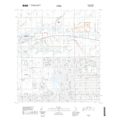
 2018 Olga2018 Print · USGSCovers Alva, including Fort Myers Shores, Olga, and other nearby areas
 - 2018 Map of Alva, 2018 Print
 2018 Alva2018 Print · USGSCovers Alva, including Denaud, Caloosa Preserve, and other nearby areas
 - 2021 Map of Olga, 2021 Print
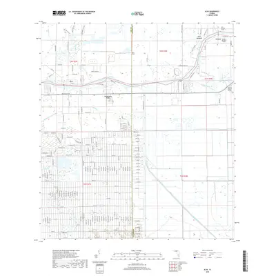
 2021 Olga2021 Print · USGSCovers Alva, including Fort Myers Shores, Olga, and other nearby areas
 - 2021 Map of Alva, 2021 Print
 2021 Alva2021 Print · USGSCovers Alva, including Denaud, Caloosa Preserve, and other nearby areas
 - 2021 Map of Telegraph Swamp SE, 2021 Print
 2021 Telegraph Swamp SE2021 Print · USGSCovers Alva, including Lee County, Charlotte County, and other nearby areas
 - 2024 Map of Olga, 2024 Print
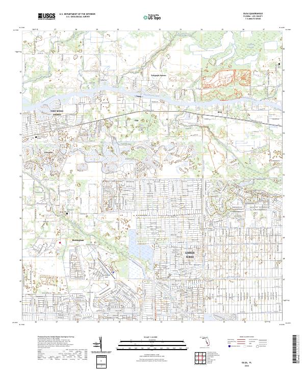 2024 Olga2024 Print · USGSThe Caloosahatchee River corridor comes into sharp focus during this period of residential expansion and park development. Trace family history at Alva Cem or explore the aviation legacy of Buckingham Field and the surrounding grids of Lehigh Acres.
 - 2024 Map of Telegraph Swamp SE, 2024 Print
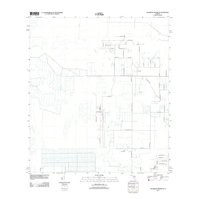
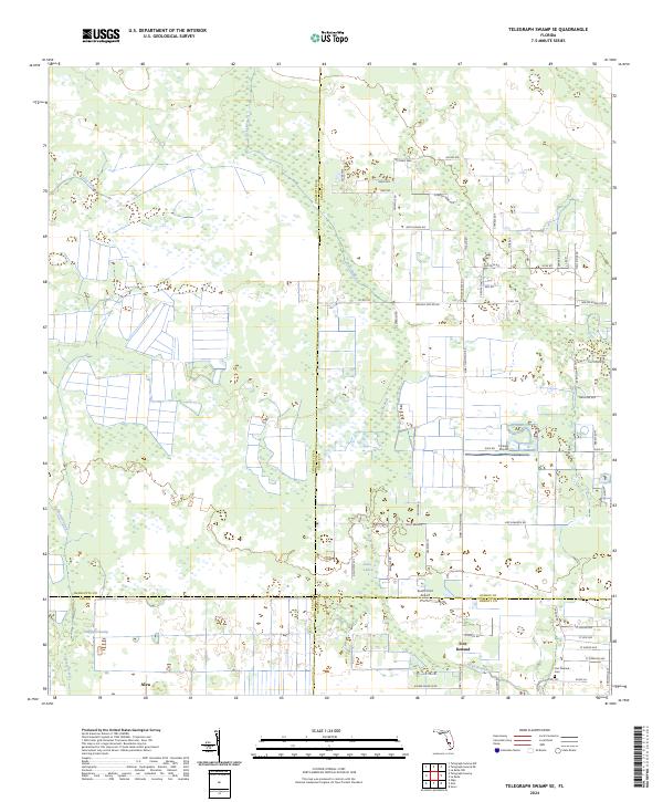 2024 Telegraph Swamp SE2024 Print · USGSThe Florida interior near the Caloosahatchee River comes into focus during this modern survey. Genealogists and researchers can locate Fort Denaud Cem and the settlement of Alva, while tracing the reaches of Telegraph Swamp.
 - 2024 Map of Alva, 2024 Print
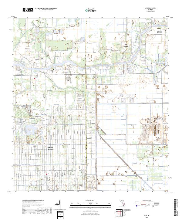 2024 Alva2024 Print · USGSThe Caloosahatchee River valley in modern-day Lee and Hendry Counties shows the intersection of historical riverfront life and suburban expansion. Researchers can trace land use from the Old Lake Place Cem to the sprawling canal networks of Lehigh Acres.
End of results
Showing maps 1-15 of 15
Top cities near Alva
- Lehigh Acres historical maps
- Fort Myers historical maps
- Fort Myers Shores historical maps
- LaBelle historical maps
- Olga historical maps
Top neighborhoods of Alva
Frequently asked questions
- What are the different types of historical maps available for Alva?
- What is the oldest map of Alva?
- Where can I purchase historical maps of Alva for my home or office?
- Where can I download high-res historical maps of Alva?
- Are there historical topographic maps available for Alva?
- Is there historical aerial imagery available for Alva?
- Where are historical maps of Alva sourced from?