2000s (21st Century) Maps of Cranbrook Harbor, Florida
Explore 6 historic maps of Cranbrook Harbor from the 2000s (21st Century). These maps offer a rare glimpse into what life looked like during the 2000s — showing old roads, neighborhoods, homes, and landmarks that have changed or disappeared over time.
Whether you're researching your family's past, planning a metal detecting trip, or studying how Cranbrook Harbor's landscape evolved across the 2000s, these high-resolution maps are a powerful tool for exploring the history of this region.
- Focus on a specific era: All maps on this page are from the 2000s, giving you a focused view of this time period.
- See what’s changed: Compare century-old streets, trails, and buildings to today's modern landscape using overlays and satellite layers.
- Research with precision: Use these maps for genealogy, historical research, land use analysis, or educational projects.
- View, download, or print: Maps are fully viewable online in high resolution, and can be downloaded or printed for your own records.
Start exploring Cranbrook Harbor's history through authentic maps from the 2000s. This is your window into the past.
Cranbrook Harbor, FL maps
(6)- 2012 Map of Estero, 2012 Print
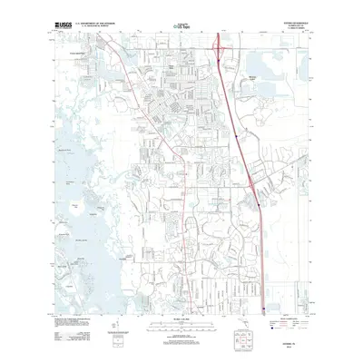 2012 Estero2012 Print · USGSCovers Cranbrook Harbor, including Spring Creek Village, Fountain Lakes, and other nearby areas
 - 2015 Map of Estero, 2015 Print
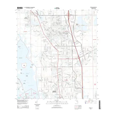 2015 Estero2015 Print · USGSCovers Cranbrook Harbor, including Spring Creek Village, Fountain Lakes, and other nearby areas
 - 2018 Map of Estero, 2018 Print
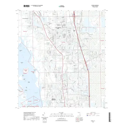 2018 Estero2018 Print · USGSCovers Cranbrook Harbor, including Spring Creek Village, Fountain Lakes, and other nearby areas
 - 2021 Map of Estero, 2021 Print
 2021 Estero2021 Print · USGSCovers Cranbrook Harbor, including Spring Creek Village, Fountain Lakes, and other nearby areas
 - 2024 Map of Estero, 2024 Print
 2024 Estero2024 Print · USGSCovers Cranbrook Harbor, including Spring Creek Village, Fountain Lakes, and other nearby areas
 - 2025 Map of Estero, 2025 Print
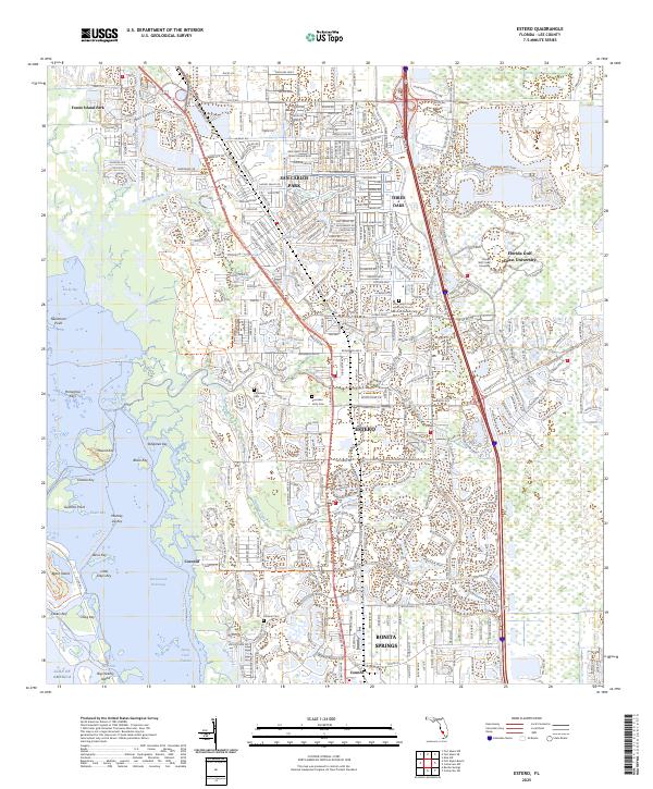 2025 Estero2025 Print · USGSCoastal Lee County is shown in this contemporary study as the community of Estero expands toward the Gulf. Genealogists and historians can trace local heritage at the Koreshan Unity Cem or explore the protected mangroves of Mound Key.
End of results
Showing maps 1-6 of 6
Top cities near Cranbrook Harbor
- Cape Coral historical maps
- Lehigh Acres historical maps
- Fort Myers historical maps
- Bonita Springs historical maps
- Fort Myers Beach historical maps
- Pelican Bay historical maps
See more
Frequently asked questions
- What are the different types of historical maps available for Cranbrook Harbor?
- What is the oldest map of Cranbrook Harbor?
- Where can I purchase historical maps of Cranbrook Harbor for my home or office?
- Where can I download high-res historical maps of Cranbrook Harbor?
- Are there historical topographic maps available for Cranbrook Harbor?
- Is there historical aerial imagery available for Cranbrook Harbor?
- Where are historical maps of Cranbrook Harbor sourced from?