Old Maps of Sanibel, Florida for Academic Research
Study the evolution of Sanibel with 29 high-resolution historic maps. Whether you're teaching, researching, or modeling changes in land use, these maps provide essential visual documentation of urban, environmental, and geographic change.
- Analyze long-term change: Track patterns in development, transportation, and natural features.
- Ideal for environmental or urban studies: Support academic projects with primary historical map data.
- Use in the classroom or lab: Educators and researchers rely on these maps to bring historical context to life.
These maps are a powerful tool for teaching, research, and visualizing how Sanibel has changed over the decades.
Sanibel, FL maps
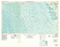
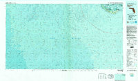
(29)- 1956 Map of Tampa, 1964 Print
 1956 Tampa1964 Print · USGSThe Florida Gulf Coast thrived in the mid-fifties, from the bustling docks of Tampa to the quiet shores of Sanibel. Genealogists and historians can trace old rail lines like the Atlantic Coast Line or find early layouts of Port Charlotte and Bokeelia.2 unique versions available
 - 1956 Map of Charlotte Harbor, 1982 Print
 1956 Charlotte Harbor1982 Print · USGSCoastal Florida in the mid-fifties reveals the early growth of bayside communities and the preservation of vast wetland refuges. Genealogists and historians can trace rail lines like the Seaboard Air Line and find historic waterfront locales from Boca Grande to Punta Gorda.
 - 1958 Map of Captiva, 1959 Print
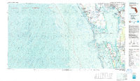
 1958 Captiva1959 Print · USGSThe Lee County coastline in the late fifties shows the barrier islands of Captiva Island and North Captiva Island before modern development. Trace local landmarks like the Chapel by the Sea or find the remote Big Bird Rookery.5 unique versions available
 - 1958 Map of Sanibel, 1959 Print
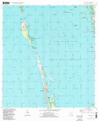
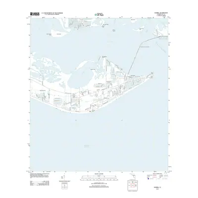
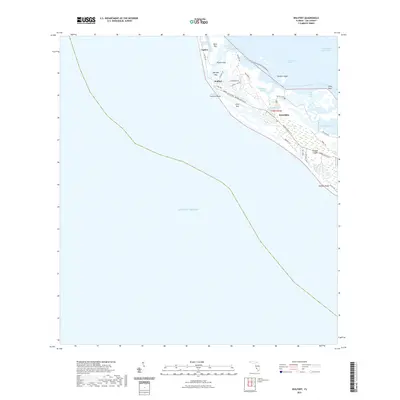
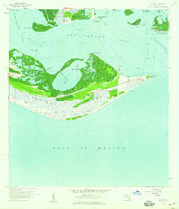 1958 Sanibel1959 Print · USGSSanibel Island and the surrounding Lee County waters appear here in the late fifties, showcasing a quiet coastal era defined by fishing and maritime navigation. Researchers can locate the Sanibel Island Lighthouse, the local Sanibel Sch, and the southern docks of St James City.4 unique versions available
 - 1958 Map of Wulfert, 1959 Print
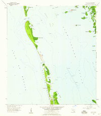
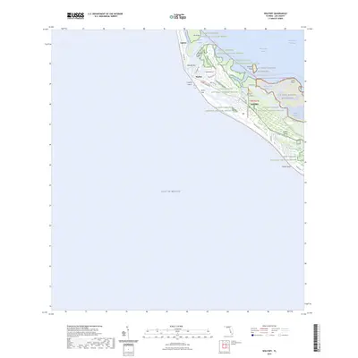
 1958 Wulfert1959 Print · USGSSanibel and Captiva Islands are shown here in the late fifties, prior to heavy modern development. Researchers can trace the shifting inlets of Blind Pass and Old Blind Pass or locate the historic settlement of Wulfert near Dinken Bayou.5 unique versions available
 - 1959 Map of Tampa
 1959 Tampa1959 Print · USGSThe Florida Gulf Coast appears in this late fifties survey during a period of steady coastal growth and established rail commerce. Researchers can trace historic neighborhoods and transit lines from Tampa to St Petersburg, or locate landmarks like Mac Dill AFB and Boca Grande.
 - 1960 Map of Tampa
 1960 Tampa1960 Print · USGSThe Florida Gulf Coast was undergoing a major transformation at the start of the sixties, with new bridges linking burgeoning cities across the bays. Researchers can trace the mid-century footprints of St Petersburg and Tampa, or locate coastal landmarks like Mac Dill AFB and the Sunshine Skyway.2 unique versions available
 - 1972 Map of Tampa, 1974 Print
 1972 Tampa1974 Print · USGSThe Florida Gulf Coast appears in a period of significant growth during the early seventies, from the urban centers of the bay to the quiet southern keys. Researchers can trace the expansion of St Petersburg or locate family sites near Safety Harbor, Valrico, and Boca Ciega.
 - 1981 Map of Sanibel, 1982 Print
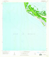
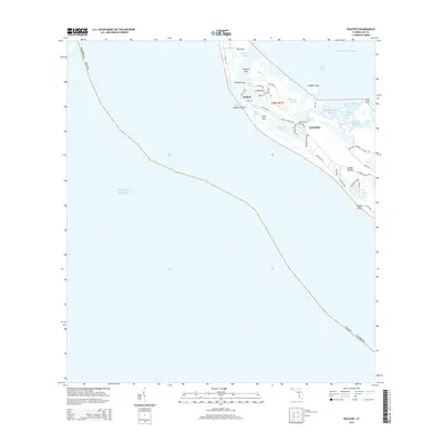
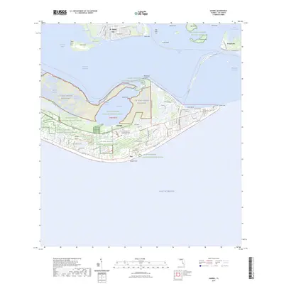
 1981 Sanibel1982 Print · USGSThe Florida Gulf Coast appears as a patchwork of conservation and coastal life in the early eighties. Researchers can trace the protected boundaries of the J. N. "Ding" Darling National Wildlife Refuge or locate the historic Lighthouse at the tip of Sanibel Island.2 unique versions available
 - 1981 Map of Charlotte Harbor, 1983 Print
 1981 Charlotte Harbor1983 Print · USGSCoastal Florida is captured in a period of significant growth during the early eighties, balancing new residential developments with vast protected preserves. Trace the expansion of Port Charlotte and Cape Coral alongside the Seaboard Coast Line and Cayo Costa State Preserve.
 - 1994 Map of Captiva, 1998 Print
 1994 Captiva1998 Print · USGSCoastal Lee County in the 1990s reveals a delicate barrier island landscape shaped by tides and conservation efforts. Researchers can trace the layout of Captiva village and locate landmarks like the Chapel by the Sea or the remote Demere Landing.
 - 2012 Map of Captiva, 2012 Print
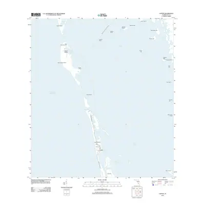 2012 Captiva2012 Print · USGSCovers Sanibel, including Captiva, Lee County, and other nearby areas
 - 2012 Map of Wulfert, 2012 Print
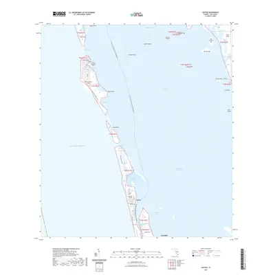
 2012 Wulfert2012 Print · USGSCovers Sanibel, including Wulfert, Lee County, and other nearby areas
 - 2012 Map of Sanibel, 2012 Print
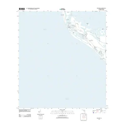
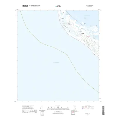
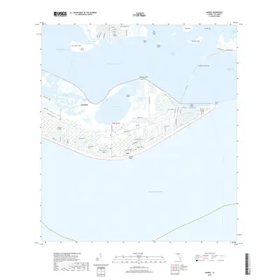
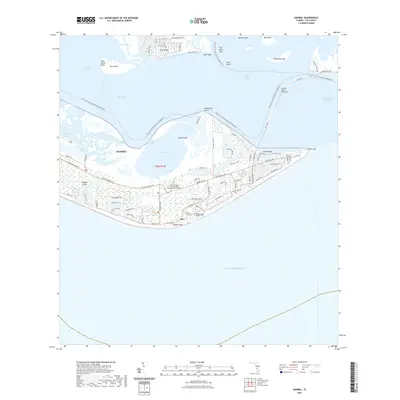
 2012 Sanibel2012 Print · USGSCovers Sanibel, including Saint James Mobile Home Park, Ybel, and other nearby areas
 - 2015 Map of Sanibel, 2015 Print
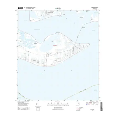 2015 Sanibel2015 Print · USGSCovers Sanibel, including Saint James Mobile Home Park, Ybel, and other nearby areas
 - 2015 Map of Wulfert, 2015 Print
 2015 Wulfert2015 Print · USGSCovers Sanibel, including Wulfert, Lee County, and other nearby areas
 - 2015 Map of Captiva, 2015 Print
 2015 Captiva2015 Print · USGSCovers Sanibel, including Captiva, Lee County, and other nearby areas
 - 2018 Map of Wulfert, 2018 Print
 2018 Wulfert2018 Print · USGSCovers Sanibel, including Wulfert, Lee County, and other nearby areas
 - 2018 Map of Sanibel, 2018 Print
 2018 Sanibel2018 Print · USGSCovers Sanibel, including Saint James Mobile Home Park, Ybel, and other nearby areas
 - 2018 Map of Captiva, 2018 Print
 2018 Captiva2018 Print · USGSCovers Sanibel, including Captiva, Lee County, and other nearby areas
 - 2021 Map of Captiva, 2021 Print
 2021 Captiva2021 Print · USGSCovers Sanibel, including Captiva, Lee County, and other nearby areas
 - 2021 Map of Sanibel, 2021 Print
 2021 Sanibel2021 Print · USGSCovers Sanibel, including Saint James Mobile Home Park, Ybel, and other nearby areas
 - 2021 Map of Wulfert, 2021 Print
 2021 Wulfert2021 Print · USGSCovers Sanibel, including Wulfert, Lee County, and other nearby areas
 - 2024 Map of Sanibel, 2024 Print
 2024 Sanibel2024 Print · USGSCovers Sanibel, including Saint James Mobile Home Park, Ybel, and other nearby areas
 - 2024 Map of Wulfert, 2024 Print
 2024 Wulfert2024 Print · USGSCovers Sanibel, including Wulfert, Lee County, and other nearby areas
Showing maps 1-25 of 29
Top cities near Sanibel
- Cape Coral historical maps
- Fort Myers historical maps
- North Fort Myers historical maps
- Fort Myers Beach historical maps
Top neighborhoods of Sanibel
Frequently asked questions
- What are the different types of historical maps available for Sanibel?
- What is the oldest map of Sanibel?
- Where can I purchase historical maps of Sanibel for my home or office?
- Where can I download high-res historical maps of Sanibel?
- Are there historical topographic maps available for Sanibel?
- Is there historical aerial imagery available for Sanibel?
- Where are historical maps of Sanibel sourced from?