2000s (21st Century) Maps of Longboat Key, Florida
Explore 23 historic maps of Longboat Key from the 2000s (21st Century). These maps offer a rare glimpse into what life looked like during the 2000s — showing old roads, neighborhoods, homes, and landmarks that have changed or disappeared over time.
Whether you're researching your family's past, planning a metal detecting trip, or studying how Longboat Key's landscape evolved across the 2000s, these high-resolution maps are a powerful tool for exploring the history of this region.
- Focus on a specific era: All maps on this page are from the 2000s, giving you a focused view of this time period.
- See what’s changed: Compare century-old streets, trails, and buildings to today's modern landscape using overlays and satellite layers.
- Research with precision: Use these maps for genealogy, historical research, land use analysis, or educational projects.
- View, download, or print: Maps are fully viewable online in high resolution, and can be downloaded or printed for your own records.
Start exploring Longboat Key's history through authentic maps from the 2000s. This is your window into the past.
Longboat Key, FL maps
(23)- 2012 Map of Sarasota OE W, 2012 Print
 2012 Sarasota OE W2012 Print · USGSCovers Longboat Key, including Sarasota County, United States, and other nearby areas
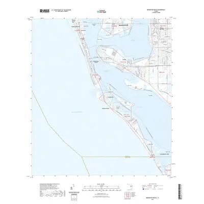
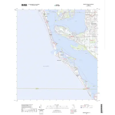
 - 2012 Map of Bradenton Beach, 2012 Print
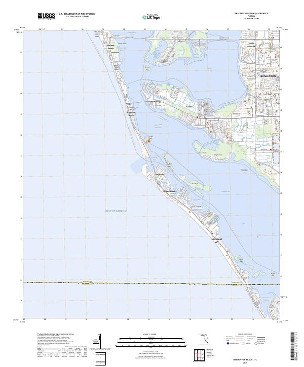
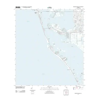 2012 Bradenton Beach2012 Print · USGSCovers Longboat Key, including Bradenton, Holmes Beach, and other nearby areas
 - 2012 Map of Bradenton, 2012 Print
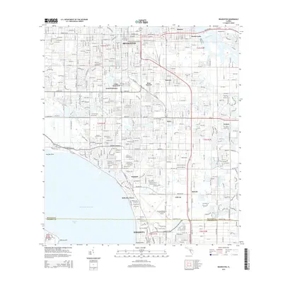
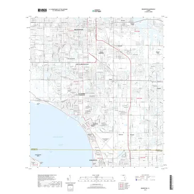
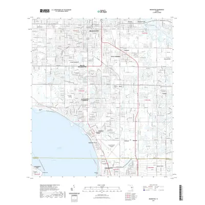
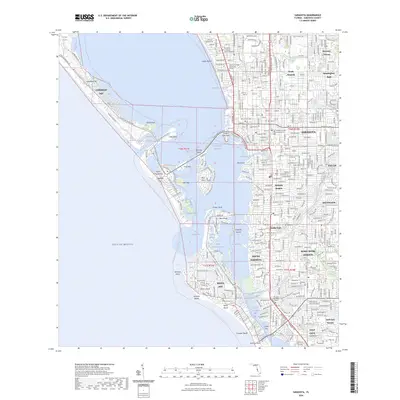
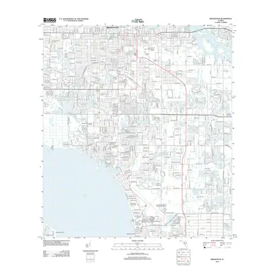 2012 Bradenton2012 Print · USGSCovers Longboat Key, including Bradenton, Sarasota, and other nearby areas
 - 2012 Map of Sarasota, 2012 Print
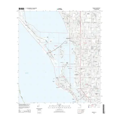
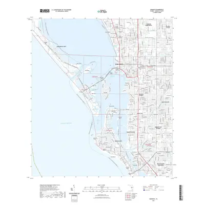
 2012 Sarasota2012 Print · USGSCovers Longboat Key, including Sarasota, Siesta Key, and other nearby areas
 - 2015 Map of Bradenton Beach, 2015 Print
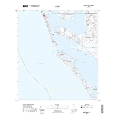
 2015 Bradenton Beach2015 Print · USGSCovers Longboat Key, including Bradenton, Holmes Beach, and other nearby areas
 - 2015 Map of Bradenton, 2015 Print
 2015 Bradenton2015 Print · USGSCovers Longboat Key, including Bradenton, Sarasota, and other nearby areas
 - 2015 Map of Sarasota OE W, 2015 Print
 2015 Sarasota OE W2015 Print · USGSCovers Longboat Key, including Sarasota County, United States, and other nearby areas
 - 2015 Map of Sarasota, 2015 Print
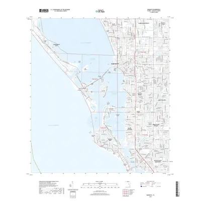
 2015 Sarasota2015 Print · USGSCovers Longboat Key, including Sarasota, Siesta Key, and other nearby areas
 - 2018 Map of Sarasota OE W, 2018 Print
 2018 Sarasota OE W2018 Print · USGSCovers Longboat Key, including Sarasota County, United States, and other nearby areas
 - 2018 Map of Sarasota, 2018 Print
 2018 Sarasota2018 Print · USGSCovers Longboat Key, including Sarasota, Siesta Key, and other nearby areas
 - 2018 Map of Bradenton Beach, 2018 Print
 2018 Bradenton Beach2018 Print · USGSCovers Longboat Key, including Bradenton, Holmes Beach, and other nearby areas
 - 2018 Map of Bradenton, 2018 Print
 2018 Bradenton2018 Print · USGSCovers Longboat Key, including Bradenton, Sarasota, and other nearby areas
 - 2021 Map of Sarasota OE W, 2021 Print
 2021 Sarasota OE W2021 Print · USGSCovers Longboat Key, including Sarasota County, United States, and other nearby areas
 - 2021 Map of Bradenton Beach, 2021 Print
 2021 Bradenton Beach2021 Print · USGSCovers Longboat Key, including Bradenton, Holmes Beach, and other nearby areas
 - 2021 Map of Bradenton, 2021 Print
 2021 Bradenton2021 Print · USGSCovers Longboat Key, including Bradenton, Sarasota, and other nearby areas
 - 2021 Map of Sarasota, 2021 Print
 2021 Sarasota2021 Print · USGSCovers Longboat Key, including Sarasota, Siesta Key, and other nearby areas
 - 2024 Map of Sarasota OE W, 2024 Print
 2024 Sarasota OE W2024 Print · USGSCovers Longboat Key, including Sarasota County, United States, and other nearby areas
 - 2024 Map of Bradenton Beach, 2024 Print
 2024 Bradenton Beach2024 Print · USGSCovers Longboat Key, including Bradenton, Holmes Beach, and other nearby areas
 - 2024 Map of Sarasota, 2024 Print
 2024 Sarasota2024 Print · USGSCovers Longboat Key, including Sarasota, Siesta Key, and other nearby areas
 - 2024 Map of Bradenton, 2024 Print
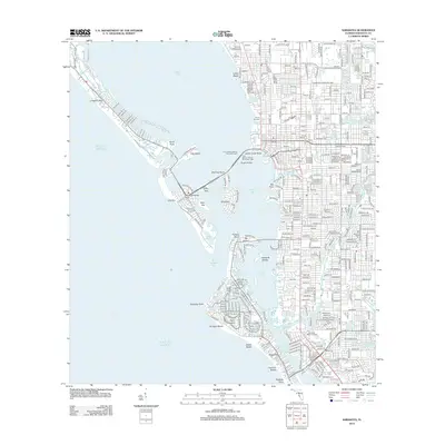
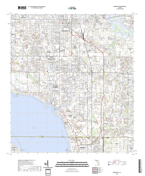 2024 Bradenton2024 Print · USGSThe Gulf Coast waterfront and urban core of Manatee County are captured here in the contemporary era. Researchers can trace historic sites like Braden Castle or find family roots near Oneco, Samoset, and the Manatee Burying Ground.
 - 2025 Map of Sarasota, 2025 Print
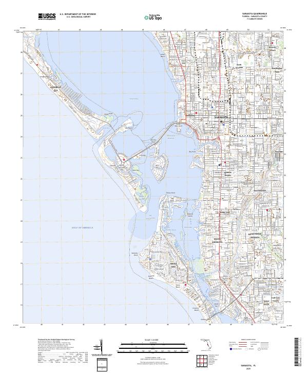 2025 Sarasota2025 Print · USGSThe Florida Gulf Coast is showcased here in the mid-2020s, detailing the intricate waterways and residential islands from Long Boat Key to Siesta Key. Researchers can trace the modern development of neighborhoods like Southgate and locate landmarks such as the Sarasota Memorial Park.
 - 2025 Map of Bradenton Beach, 2025 Print
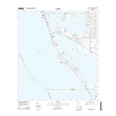
 2025 Bradenton Beach2025 Print · USGSAnna Maria Island and the Manatee County coast are detailed in this recent survey, capturing the modern layout of the Gulf barrier keys. Researchers can trace street-level detail in Bradenton Beach and Cortez or explore the waterways around Perico Island.
 - 2025 Map of Sarasota OE W, 2025 Print
 2025 Sarasota OE W2025 Print · USGSThe coastal waters of Florida are captured in the mid-2020s, focusing on the maritime expanse west of Sarasota. Researchers can trace the modern shoreline at the tip of Longboat Key and its position within the Gulf of America.
End of results
Showing maps 1-23 of 23
Top cities near Longboat Key
- Bradenton historical maps
- Sarasota historical maps
- Venice historical maps
- Palmetto historical maps
- Siesta Key historical maps
- Holmes Beach historical maps
See more
Top neighborhoods of Longboat Key
Frequently asked questions
- What are the different types of historical maps available for Longboat Key?
- What is the oldest map of Longboat Key?
- Where can I purchase historical maps of Longboat Key for my home or office?
- Where can I download high-res historical maps of Longboat Key?
- Are there historical topographic maps available for Longboat Key?
- Is there historical aerial imagery available for Longboat Key?
- Where are historical maps of Longboat Key sourced from?