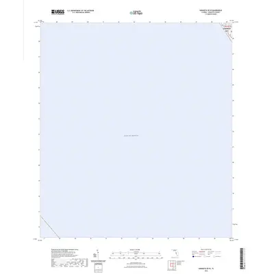
2024 Map of Sarasota OE W
USGS Topo · Published 2024About this map
The Gulf of Mexico dominates this coastal chart, which focuses on the western waters off the Florida coastline. A small portion of the barrier island known as Longboat Key is visible in the upper right corner, showing the alignment of State Road 789. This modern survey provides a precise look at the maritime approach to the island, where the land meets the open sea. While primarily a hydrographic view, the inclusion of the northern tip of the key allows for the orientation of the shoreline relative to the Gulf. The map includes the township and range designations, specifically t36s r17e, which are essential for property researchers and local historians tracing the exact geographic coordinates of this coastal region.
Find a feature on this map
5 named features on this map. Tap any name to fly to it.
Don’t see what you’re looking for? This feature index may not catch every label — zoom into the map to look around manually.
Map Details
Editions of this 2024 Sarasota OE W Map
This is the sole edition of this map. No revisions or reprints were ever made.
Other maps of this area

1944 · Bird Keys
USGS Topo · 1:31,680

1944 · Sarasota
USGS Topo · 1:31,680

1944 · Bradenton Beach
USGS Topo · 1:31,680

1947 · Bradenton
USGS Topo · 1:24,000

1956 · Tampa
USGS Topo · 1:250,000

1959 · Tampa
USGS Topo · 1:250,000

1960 · Tampa
USGS Topo · 1:250,000
1964 · Bradenton Beach
USGS Topo · 1:24,000
1964 · Bradenton
USGS Topo · 1:24,000

1972 · Tampa
USGS Topo · 1:250,000