
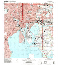
1972 Map of Tampa
USGS Topo · Published 1974About this map
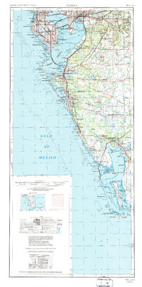
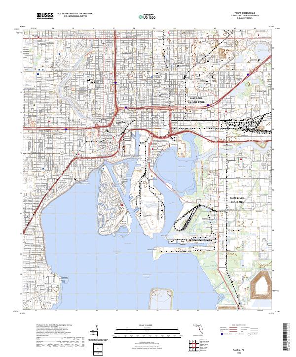
St Petersburg and Tampa serve as the urban anchors of this coastal survey, which reveals the extensive mid-century transportation network connecting the Gulf coast. Major thoroughfares like the Courtney Campbell Causeway, Gandy Bridge, and the Sunshine Skyway bridge across the mouth of Tampa Bay illustrate the era's focus on regional connectivity between the peninsula and the mainland. The landscape is a complex mix of heavy infrastructure, including Tampa International and MacDill AFB, and protected natural environments such as Myakka River State Park and the J N (Ding) Darling National Wildlife Refuge. Moving south, the map details the barrier island chain from Sand Key and Longboat Key down to Sanibel Island, documenting the rapid growth of beach communities and the intricate system of bays and sounds including Pine Island Sound and Charlotte Harbor.
Find a feature on this map
165 named features on this map. Tap any name to fly to it.
Don’t see what you’re looking for? This feature index may not catch every label — zoom into the map to look around manually.
Map Details
Editions of this 1972 Tampa Map
This is the sole edition of this map. No revisions or reprints were ever made.
Historical Maps of Tampa Through Time
14 maps found

1921 Tampa
Hillsborough County, FL

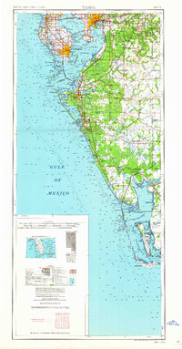
1944 Tampa
Hillsborough County, FL
1947 Tampa
Hillsborough County, FL
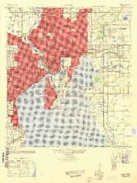
1956 Tampa
Hillsborough County, FL
1956 Tampa
Hillsborough County, FL

1959 Tampa
Hillsborough County, FL
1960 Tampa
Hillsborough County, FL
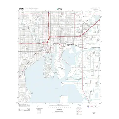
1972 Tampa
Hillsborough County, FL
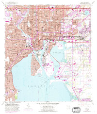
1995 Tampa
Hillsborough County, FL
2012 Tampa
Hillsborough County, FL
2015 Tampa
Hillsborough County, FL
2018 Tampa
Hillsborough County, FL

2021 Tampa
Hillsborough County, FL
2024 Tampa
Hillsborough County, FL