
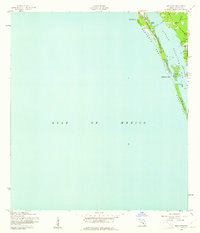
1944 Map of Bird Keys
USGS Topo · Published 1944About this map
Little Sarasota Bay serves as the central focal point for this coastal Florida landscape during the mid-1940s, separating the mainland from the barrier islands of Sarasota Key and Casey Key. The map documents a critical period of early development, featuring several specifically labeled use areas such as Ashby Use, Lisp Use, and Teer Use along the shoreline, which likely denote property ownership or specific military-era land designations by the War Department.
Find a feature on this map
22 named features on this map. Tap any name to fly to it.
Don’t see what you’re looking for? This feature index may not catch every label — zoom into the map to look around manually.
Map Details
Editions of this 1944 Bird Keys Map
2 editions found
Other maps of this area

1943 · Laurel
USGS Topo · 1:24,000

1944 · Sarasota
USGS Topo · 1:31,680

1944 · Laurel
USGS Topo · 1:31,680

1944 · Venice
USGS Topo · 1:31,680

1947 · Bee Ridge
USGS Topo · 1:24,000

1956 · Tampa
USGS Topo · 1:250,000

1959 · Tampa
USGS Topo · 1:250,000

1960 · Tampa
USGS Topo · 1:250,000

1972 · Tampa
USGS Topo · 1:250,000
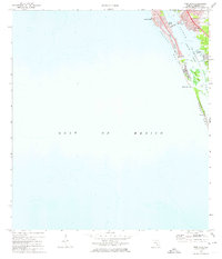
1973 · Bird Keys
USGS Topo · 1:24,000