
1944 Map of Venice
USGS Topo · Published 1944About this map
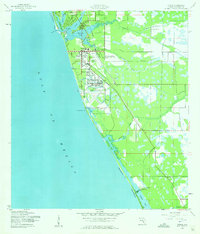
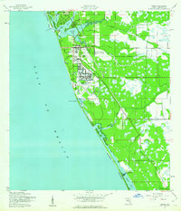
Venice Army Air Base and its adjacent Target Range dominate the landscape south of the city during the Second World War. This coastal survey reveals a community in transition, where the Seaboard Air Line railroad facilitates transport through Venice and Nokomis. The map details a sophisticated infrastructure including the Municipal Airport and the campus of the Kentucky Military Institute.
Find a feature on this map
36 named features on this map. Tap any name to fly to it.
Don’t see what you’re looking for? This feature index may not catch every label — zoom into the map to look around manually.
Map Details
Editions of this 1944 Venice Map
3 editions found
Other maps of this area

1943 · Laurel
USGS Topo · 1:24,000

1944 · Bird Keys
USGS Topo · 1:31,680

1944 · Lower Myakka Lake
USGS Topo · 1:31,680

1944 · Myakka River
USGS Topo · 1:31,680

1944 · Laurel
USGS Topo · 1:31,680

1956 · Englewood
USGS Topo · 1:24,000

1956 · Tampa
USGS Topo · 1:250,000

1956 · Charlotte Harbor
USGS Topo · 1:250,000

1957 · Englewood NW
USGS Topo · 1:24,000

1959 · Tampa
USGS Topo · 1:250,000