
1956 Map of Englewood
USGS Topo · Published 1958About this map
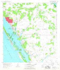
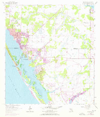
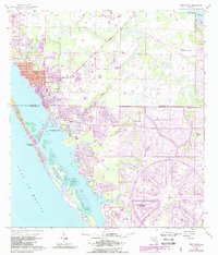
Englewood sits at the heart of this mid-century coastal survey, showing the town's early residential grid just east of Lemon Bay. The map documents a low-lying landscape of tidal marshes and pine flatwoods, where drainage and development patterns are defined by the winding courses of Gottfried Creek and Ainger Creek. Along the shoreline, small waterfront communities such as Point of Pines and New Point Comfort are established, while the barrier islands across the bay show the beginnings of Punta Gorda Beach. To the south, Grove City appears as a small node of activity near Oyster Creek. This 1950s record provides clear evidence of the region's ranching roots further inland at Flying A Ranch, juxtaposed with the emerging coastal identity of the Sarasota and Charlotte County line.
Find a feature on this map
23 named features on this map. Tap any name to fly to it.
Don’t see what you’re looking for? This feature index may not catch every label — zoom into the map to look around manually.
Map Details
Editions of this 1956 Englewood Map
4 editions found
Other maps of this area

1944 · Myakka River
USGS Topo · 1:31,680

1944 · Venice
USGS Topo · 1:31,680

1956 · Murdock
USGS Topo · 1:24,000

1956 · Tampa
USGS Topo · 1:250,000

1956 · Charlotte Harbor
USGS Topo · 1:250,000

1957 · Englewood NW
USGS Topo · 1:24,000

1957 · El Jobean
USGS Topo · 1:24,000

1957 · Punta Gorda SW
USGS Topo · 1:24,000

1957 · Placida
USGS Topo · 1:24,000

1959 · Tampa
USGS Topo · 1:250,000