
1957 Map of Placida
USGS Topo · Published 1958About this map
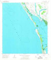
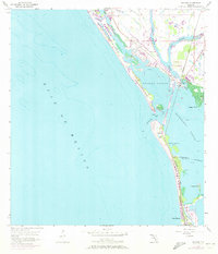
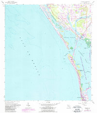
Placida serves as a small coastal hub in the late 1950s, where the Seaboard Air Line railroad terminates near the water's edge. This maritime landscape is defined by the narrow barrier islands of Don Pedro Island, Little Gasparilla Island, and Gasparilla Island, separating the Gulf of Mexico from the protected waters of Placida Harbor and Gasparilla Sound. The map reveals the era's reliance on water-based transit, highlighting multiple Ferry Landing locations that connect the mainland to the islands before extensive bridge development. To the south, the settlement of Boca Grande sits at the tip of the island chain, while inland waterways like Coral Creek and West Branch drain into the sound. The boundary between Charlotte Co and Lee Co is clearly marked as it crosses the southernmost portion of the island near Grande Bayou.
Find a feature on this map
24 named features on this map. Tap any name to fly to it.
Don’t see what you’re looking for? This feature index may not catch every label — zoom into the map to look around manually.
Map Details
Editions of this 1957 Placida Map
4 editions found
Other maps of this area

1956 · Englewood
USGS Topo · 1:24,000

1956 · Tampa
USGS Topo · 1:250,000

1956 · Charlotte Harbor
USGS Topo · 1:250,000

1957 · Englewood NW
USGS Topo · 1:24,000

1957 · El Jobean
USGS Topo · 1:24,000

1957 · Punta Gorda SW
USGS Topo · 1:24,000

1958 · Port Boca Grande
USGS Topo · 1:24,000

1958 · Bokeelia
USGS Topo · 1:24,000

1959 · Tampa
USGS Topo · 1:250,000

1960 · Tampa
USGS Topo · 1:250,000