
1958 Map of Port Boca Grande
USGS Topo · Published 1959About this map
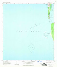
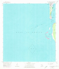
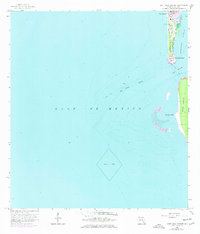
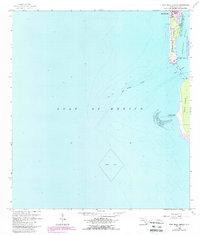
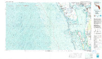
Gasparilla Island anchors this coastal survey, showcasing the maritime and rail infrastructure at the southern tip of the island during the late 1950s. The settlement of Boca Grande is clearly defined, featuring a Yacht Basin, a Lighthouse, and a Landing Field that indicate its role as a significant coastal destination. Further south, Port Boca Grande serves as the terminus for the Seaboard Air Line railroad, illustrating the historical link between industrial rail transport and Florida's deep-water harbors. Across the Boca Grande Channel, the northern reaches of Lacosta Island appear largely undeveloped, marked only by Murdock Point and the shifting sands of Big Shoal. The hydrography, compiled from earlier charts, details the complex depths of Charlotte Harbor and the Gulf of Mexico, providing a precise record of the shoreline before decades of coastal change.
Find a feature on this map
18 named features on this map. Tap any name to fly to it.
Don’t see what you’re looking for? This feature index may not catch every label — zoom into the map to look around manually.
Map Details
Editions of this 1958 Port Boca Grande Map
5 editions found
Other maps of this area

1956 · Tampa
USGS Topo · 1:250,000

1956 · Charlotte Harbor
USGS Topo · 1:250,000

1957 · Punta Gorda SW
USGS Topo · 1:24,000

1957 · Placida
USGS Topo · 1:24,000

1958 · Captiva
USGS Topo · 1:24,000

1958 · Bokeelia
USGS Topo · 1:24,000

1959 · Tampa
USGS Topo · 1:250,000

1960 · Tampa
USGS Topo · 1:250,000

1972 · Tampa
USGS Topo · 1:250,000
1981 · Charlotte Harbor
USGS Topo · 1:100,000