
1958 Map of Bokeelia
USGS Topo · Published 1959About this map
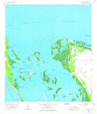
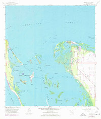
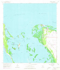
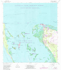
Bokeelia and Pineland anchor the northern reaches of Pine Island, where the mangrove-lined shores meet the expansive waters of Charlotte Harbor and Pine Island Sound. This 1958 topographic study reveals a landscape defined by its intricate aquatic network, featuring numerous small keys and bayous such as Old Tom Bayou and Water Turkey Bayou. The presence of several pre-modern landmarks, including Howard Mound, Old Ware Mound, and Faulkner Mound, indicates the deep human history of these barrier islands before modern development intensified.
Find a feature on this map
57 named features on this map. Tap any name to fly to it.
Don’t see what you’re looking for? This feature index may not catch every label — zoom into the map to look around manually.
Map Details
Editions of this 1958 Bokeelia Map
5 editions found
Other maps of this area

1956 · Punta Gorda SE
USGS Topo · 1:24,000

1956 · Tampa
USGS Topo · 1:250,000

1956 · Charlotte Harbor
USGS Topo · 1:250,000

1957 · Punta Gorda SW
USGS Topo · 1:24,000

1957 · Placida
USGS Topo · 1:24,000

1958 · Matlacha
USGS Topo · 1:24,000

1958 · Captiva
USGS Topo · 1:24,000

1958 · Port Boca Grande
USGS Topo · 1:24,000

1958 · Pine Island Center
USGS Topo · 1:24,000

1959 · Tampa
USGS Topo · 1:250,000