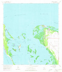
1958 Map of Bokeelia
USGS Topo · Published 1973About this map
Bokeelia and Pineland anchor this coastal survey, which documents the intricate barrier islands and mangrove-lined waterways of Lee County during the mid-20th century. The landscape is defined by the expansive Charlotte Harbor and Pine Island Sound, dotted with dozens of named keys and islands including Useppa Island, Cabbage Key, and the long stretch of Cayo Costa bordering the Gulf of Mexico. Archaeologically significant sites are clearly marked, such as Howard Mound, Faulkner Mound, and Old Ware Mound, pointing to the ancient history of human habitation in this subtropical environment. Topographic detail also records the extent of the Pine Island National Wildlife Refuge and the evolving shoreline along Jug Creek and Pelican Pass. Revisions from the early 1970s illustrate the development of residential canal systems and roads like State Road 767 as the region transitioned toward its modern character.
Find a feature on this map
91 named features on this map. Tap any name to fly to it.
Don’t see what you’re looking for? This feature index may not catch every label — zoom into the map to look around manually.
Map Details
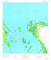
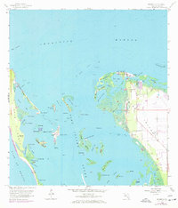
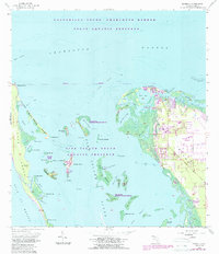
Editions of this 1958 Bokeelia Map
5 editions found
Other maps of this area

1956 · Punta Gorda SE
USGS Topo · 1:24,000

1956 · Tampa
USGS Topo · 1:250,000

1956 · Charlotte Harbor
USGS Topo · 1:250,000

1957 · Punta Gorda SW
USGS Topo · 1:24,000

1957 · Placida
USGS Topo · 1:24,000

1958 · Matlacha
USGS Topo · 1:24,000

1958 · Captiva
USGS Topo · 1:24,000

1958 · Port Boca Grande
USGS Topo · 1:24,000

1958 · Pine Island Center
USGS Topo · 1:24,000

1958 · Bokeelia
USGS Topo · 1:24,000