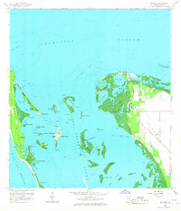
1958 Map of Bokeelia
USGS Topo · Published 1968About this map
Bokeelia serves as the primary hub at the northern tip of Pine Island, where the settlement meets the expanse of Charlotte Harbor. This 1958 topographic survey reveals an intricate coastal environment defined by historical shell mounds such as Howard Mound and Faulkner Mound, indicating a long history of human presence among the mangroves and bayous. To the west, the protective barrier of La Costa Island separates the quiet waters of Pelican Bay and Primo Bay from the open Gulf of Mexico. The map documents a network of narrow passes and shallow shoals, including the Jug Creek Shoal and Patricio Shoal, which governed local navigation before modern dredging. Smaller island outposts like Useppa Island and Mondongo Island are clearly delineated, showing the isolation and specific geography of the Lee County coast during the mid-twentieth century.
Find a feature on this map
60 named features on this map. Tap any name to fly to it.
Don’t see what you’re looking for? This feature index may not catch every label — zoom into the map to look around manually.
Map Details
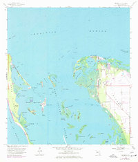
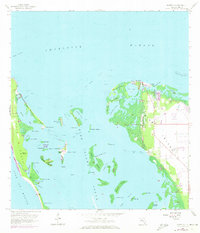
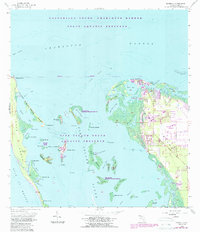
Editions of this 1958 Bokeelia Map
5 editions found
Other maps of this area

1956 · Punta Gorda SE
USGS Topo · 1:24,000

1956 · Tampa
USGS Topo · 1:250,000

1956 · Charlotte Harbor
USGS Topo · 1:250,000

1957 · Punta Gorda SW
USGS Topo · 1:24,000

1957 · Placida
USGS Topo · 1:24,000

1958 · Matlacha
USGS Topo · 1:24,000

1958 · Captiva
USGS Topo · 1:24,000

1958 · Port Boca Grande
USGS Topo · 1:24,000

1958 · Pine Island Center
USGS Topo · 1:24,000

1958 · Bokeelia
USGS Topo · 1:24,000