
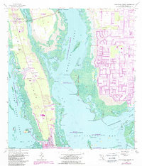
1958 Map of Pine Island Center
USGS Topo · Published 1959About this map
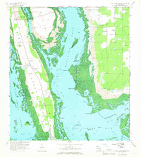
Pine Island and its surrounding mangrove-fringed waterways are captured in detail during the late 1950s, a period before significant modern residential development reshaped the coastline. The settlement of Pine Island Center serves as the inland hub, while the fishing community of Matlacha spans the narrow waters of Matlacha Pass near West Island. To the south, St James City marks the southern tip of the island, where the Monroe Canal and Dawson Canal provide vital water access for the local maritime economy.
Find a feature on this map
53 named features on this map. Tap any name to fly to it.
Don’t see what you’re looking for? This feature index may not catch every label — zoom into the map to look around manually.
Map Details
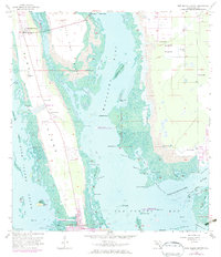
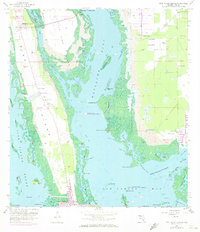
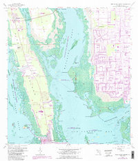
Editions of this 1958 Pine Island Center Map
6 editions found
Other maps of this area

1956 · West Palm Beach
USGS Topo · 1:250,000

1956 · Tampa
USGS Topo · 1:250,000

1956 · Charlotte Harbor
USGS Topo · 1:250,000

1957 · West Palm Beach
USGS Topo · 1:250,000

1958 · West Palm Beach
USGS Topo · 1:250,000

1958 · Matlacha
USGS Topo · 1:24,000

1958 · Captiva
USGS Topo · 1:24,000

1958 · Fort Myers NW
USGS Topo · 1:24,000

1958 · Fort Myers SW
USGS Topo · 1:24,000

1958 · Sanibel
USGS Topo · 1:24,000