
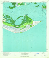
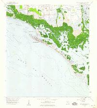
1958 Map of Sanibel
USGS Topo · Published 1959About this map
Sanibel Island and the southern tip of Pine Island dominate this coastal survey, reflecting a maritime landscape before the era of intensive development. On the eastern tip of the island at Point Ybel, the Sanibel Island Lighthouse stands as a primary navigational landmark for vessels entering San Carlos Bay from the Gulf of Mexico. The interior of the island is marked by a network of wetlands and tidal waters, including Tarpon Bay and the smaller Ladyfinger Lake.
Find a feature on this map
32 named features on this map. Tap any name to fly to it.
Don’t see what you’re looking for? This feature index may not catch every label — zoom into the map to look around manually.
Map Details
Editions of this 1958 Sanibel Map
4 editions found
Other maps of this area

1956 · West Palm Beach
USGS Topo · 1:250,000

1956 · Tampa
USGS Topo · 1:250,000

1956 · Charlotte Harbor
USGS Topo · 1:250,000

1957 · West Palm Beach
USGS Topo · 1:250,000

1958 · West Palm Beach
USGS Topo · 1:250,000

1958 · Captiva
USGS Topo · 1:24,000

1958 · Fort Myers SW
USGS Topo · 1:24,000

1958 · Pine Island Center
USGS Topo · 1:24,000
1958 · Wulfert
USGS Topo · 1:24,000
1958 · Fort Myers Beach
USGS Topo · 1:24,000
Featured Places
- Sanibel, FL
- Saint James City, FL
- Punta Rassa, FL
- Shangri-La Mobile Home Park, FL
- Saint James Mobile Home Park, FL